 Biking
 Login
Login
 More
More
 EN
EN
 Premium
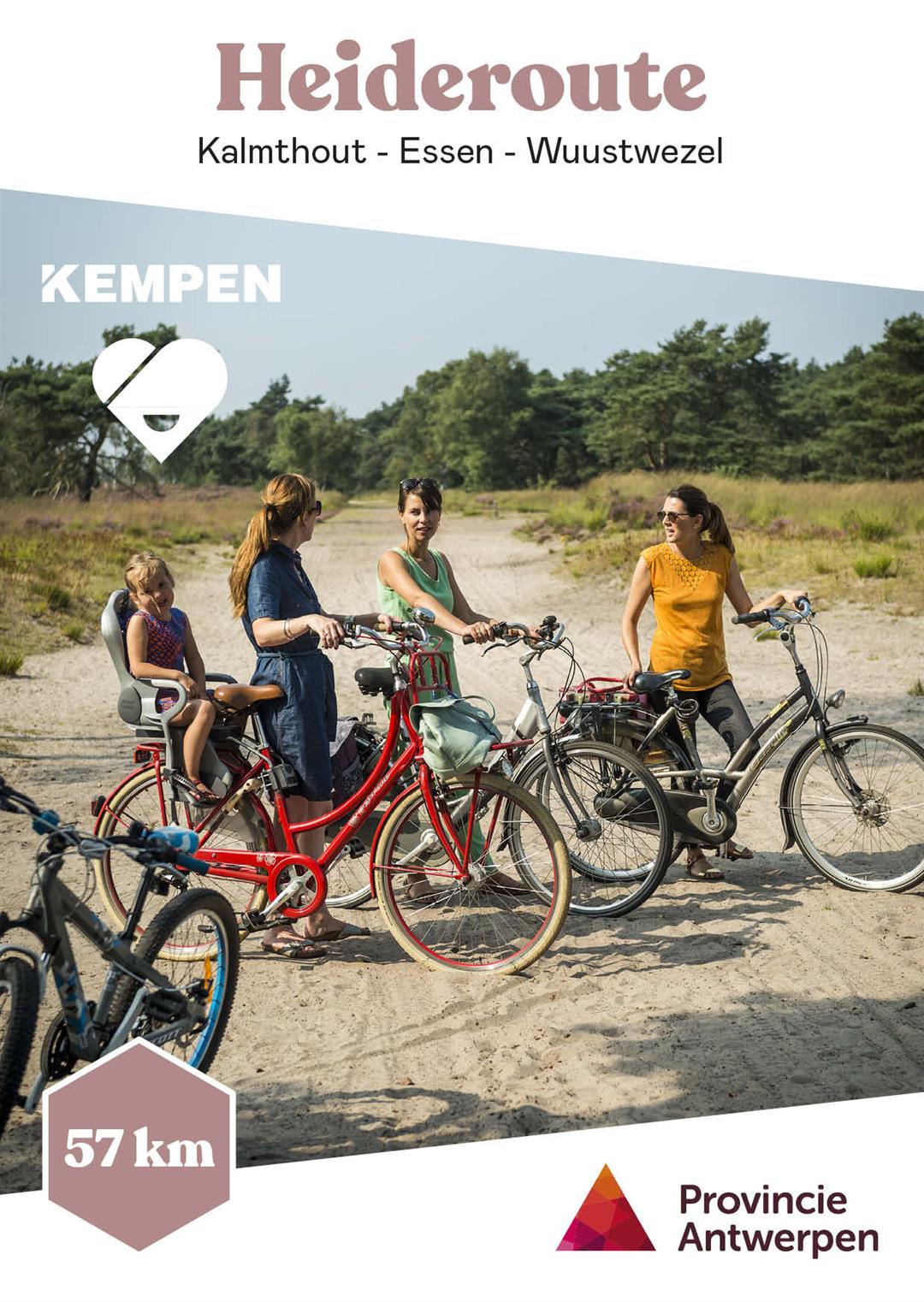
Heath Trail
automatic translation
60.4 km • Kalmthout
 official route
9.04511 4 3.9/5
 Addresse starting point (approximate)
Putsesteenweg 131, 2920 Kalmthout
 signage
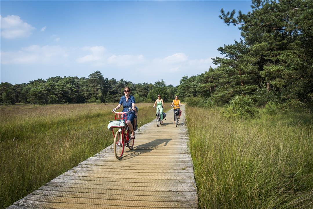
The route is fully signposted with thematic signs (no nodes).
 Description
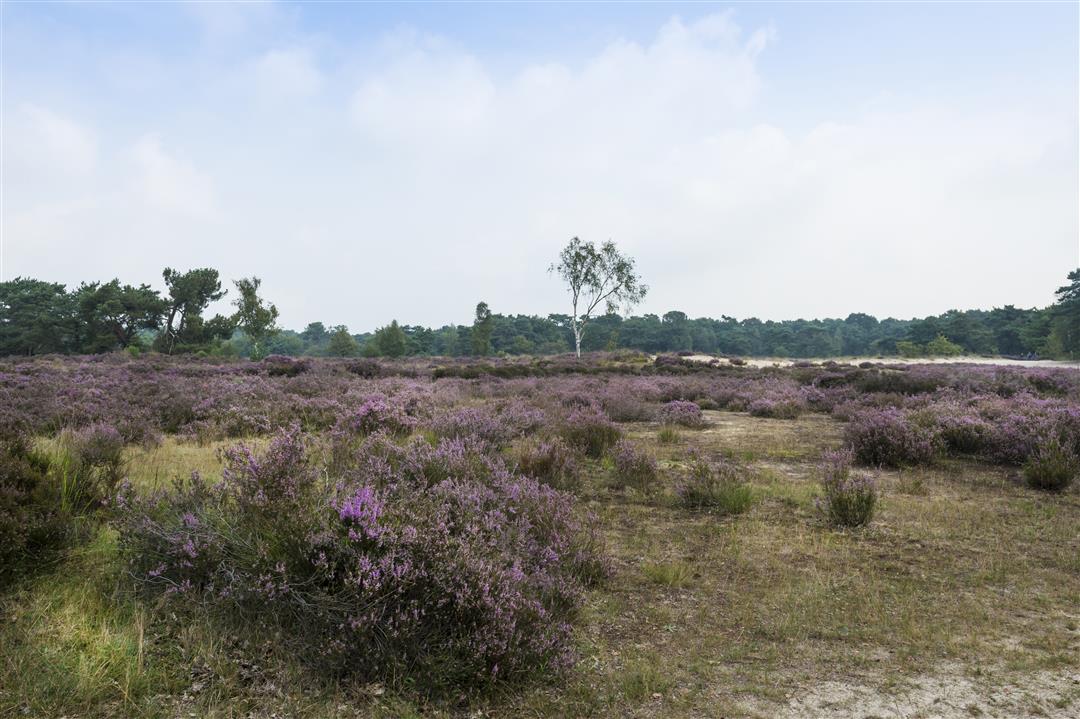
The Heath Trail is a true classic.
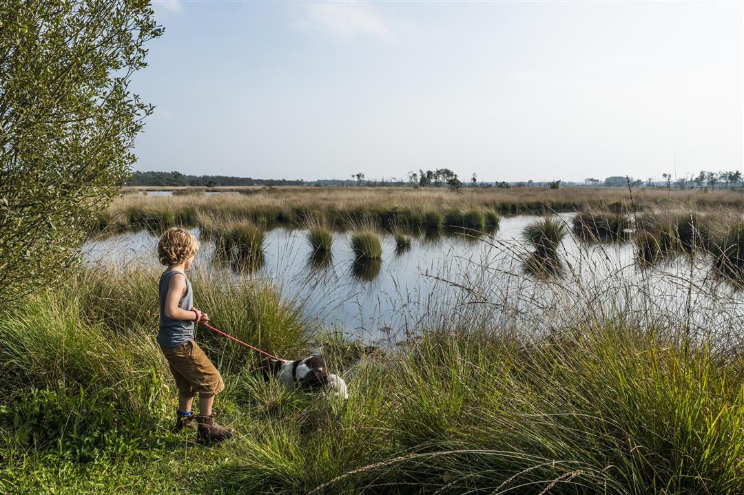
The very first signposted theme route in the Kempen - presented in 1975 - proves decades later to be as popular as it was then. Starring, of course, the Kalmthoutse Heide, one of the oldest and largest nature reserves in our country. There you will discover a golden dune landscape, restful fens and fragrant pine forests.
What's more, you cycle in an official silence area (three stars!).
In June, the heather and bog fluff color the landscape pink and white. In August and September the flowering heather provides a purple splendor.
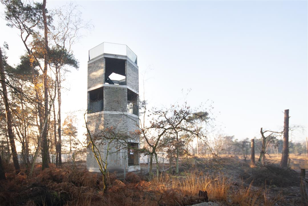
Be sure to visit the Arboretum Kalmthout, an international landmark and be sure to take a look at the lookout tower de Klot, where you can enjoy a magnificent view of De Maatjes.
automatic translation
Alternative versions
Thursday, July 2, 2026 by Jennifer JanssensWhat a gem! A network of forest trails, country roads, very quiet streets, and small side roads in between… all easy to ride on. A very peaceful route with a highly varied landscape, ranging from sweeping views to dense forests. If you want to cycle offline, going clockwise is the easiest. A real gem!!!
automatic translation
Sunday, November 3, 2024 by H.V.Very nice route, the signage is fine. There was a temporary detour near Nieuwmoer, this too is well signposted. Cycled on 3/11/2024
automatic translation
Wednesday, August 10, 2022 by K.C.Beautiful, varied route. Only the first few kilometers go through the moors. That was a disappointment. Otherwise the route goes mainly through agricultural areas and also one end through very beautiful nature reserve.
automatic translation
Thursday, May 13, 2021 by P.R.Nice route. Yet one reservation: on the map the direction of travel is counter-clockwise. However, the signs are placed clockwise. For someone with a GPS this is not such a problem, but someone without will quickly lose track, also because of the poor signposting (Sterbos - Wuustwezel). Goodbye , Peter
automatic translation


 Upgrade to Premium Plus
