 Biking
 Login
Login
 More
More
 EN
EN
 Premium
Heideroute (loop past Essen)
automatic translation
43.6 km • Kalmthout
 official route
4.9906 0 0/5
 Addresse starting point (approximate)
Putsesteenweg 131, 2920 Kalmthout
 signage
The route is fully signposted with thematic signs (no nodes).
 Description
(This is the Heiderout route shortened to the loop past Essen.)
(This is the Heiderouttrajectory shortened to the loop past Wuustwezel.)
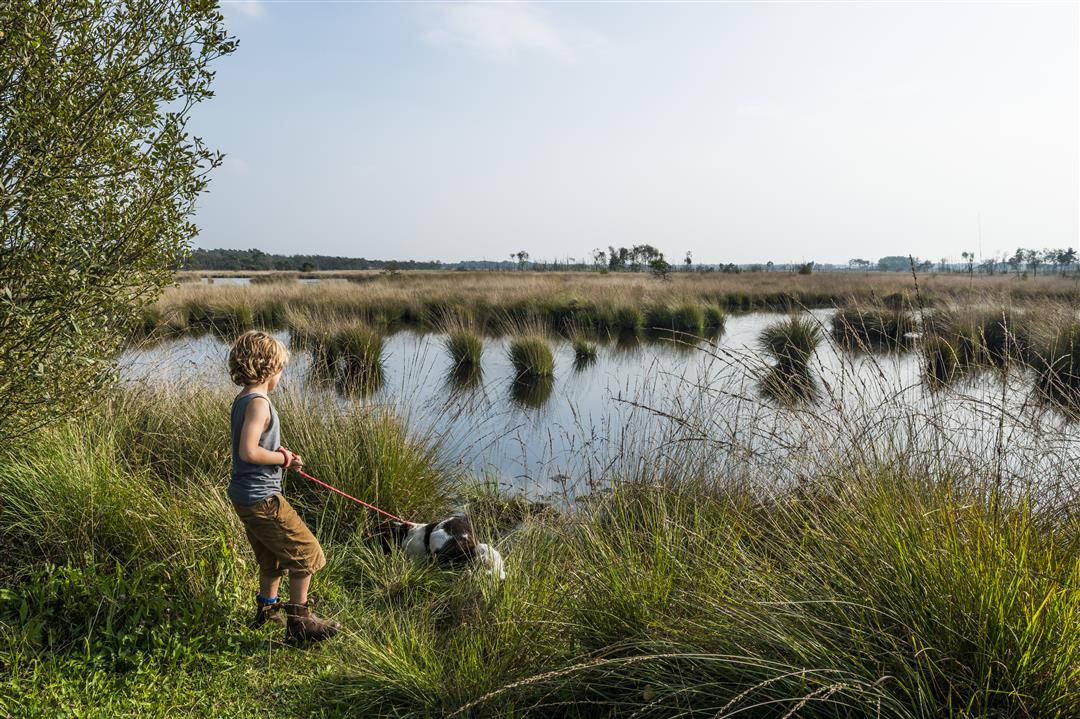
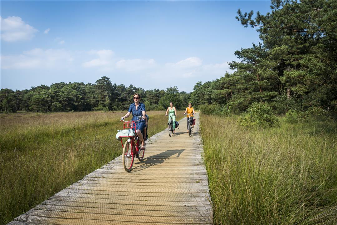
The Heideroute is a true classic.
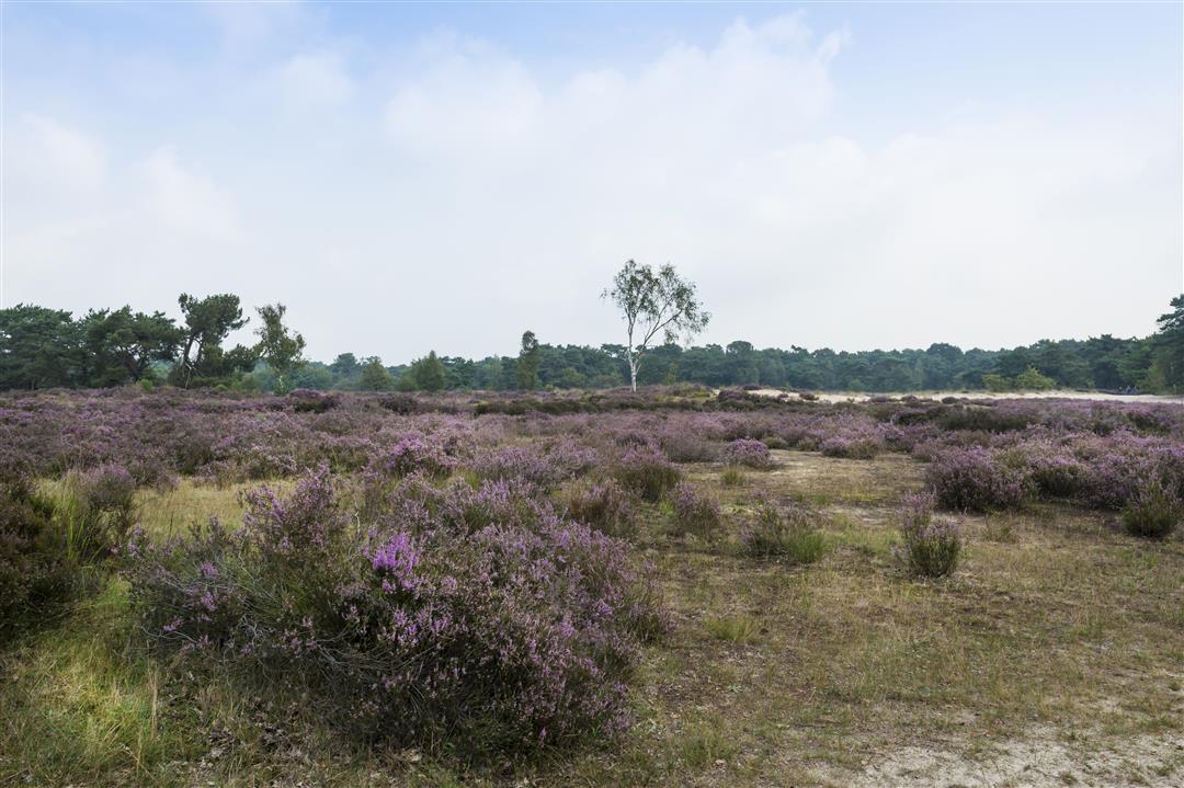
The very first signposted theme route in the Kempen - proposed in 1975 - proves decades later to be as popular as it was then. Starring, of course, the Kalmthoutse Heide, one of the oldest and largest nature reserves in our country. There you will discover a golden dune landscape, restful fens and fragrant pine forests.
Moreover, you cycle in an official silence area (three stars!)
In June, the heather and bog fluff color the landscape pink and white. In August and September the flowering heather provides a purple splendor.
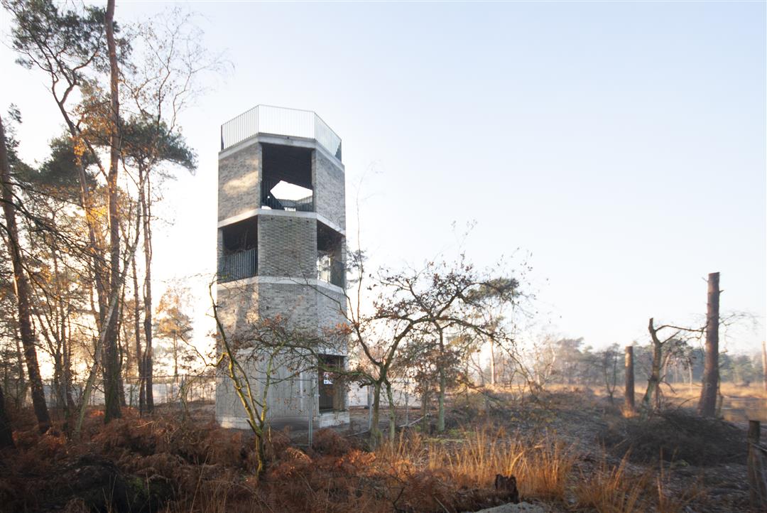
Be sure to visit the Arboretum Kalmthout, an international landmark, and be sure to take a look at the lookout tower de Klot, where you can enjoy a magnificent view of De Maatjes.
automatic translation


 Upgrade to Premium Plus
