 Biking
 Login
Login More
More EN
EN Premium
Lambic-Geuzeroute
automatic translation
42.4 km • Beersel
 official route
1.6471 9 2.7/5
route offered by
 Addresse starting point (approximate)
BC De Lambiek, Gemeenveldstraat 1, 1652 Alsemberg (Beersel)
 signage
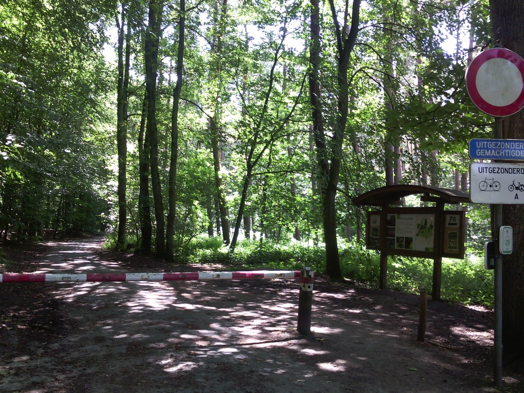
The route is fully signposted with nodes.
 Description
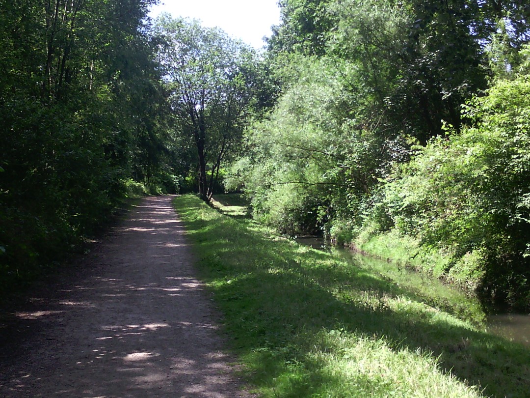
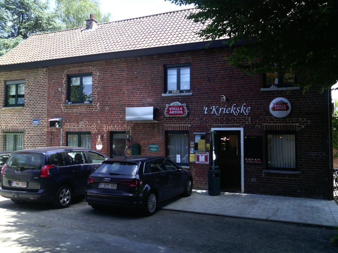
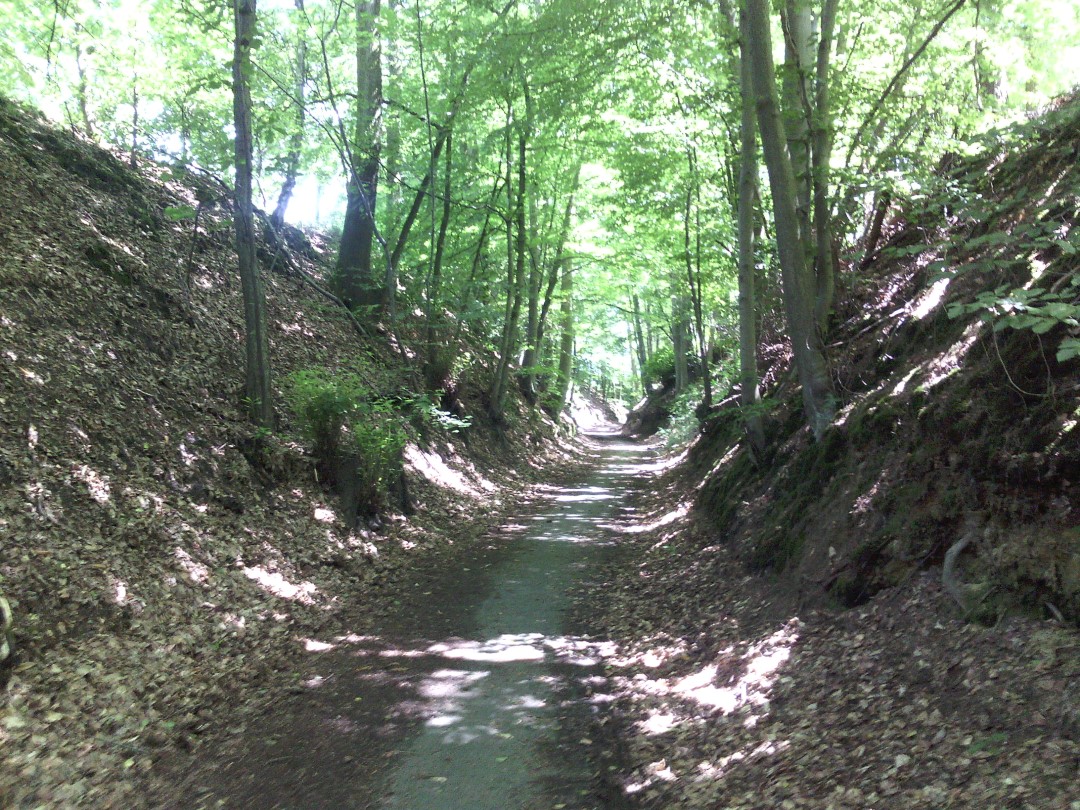
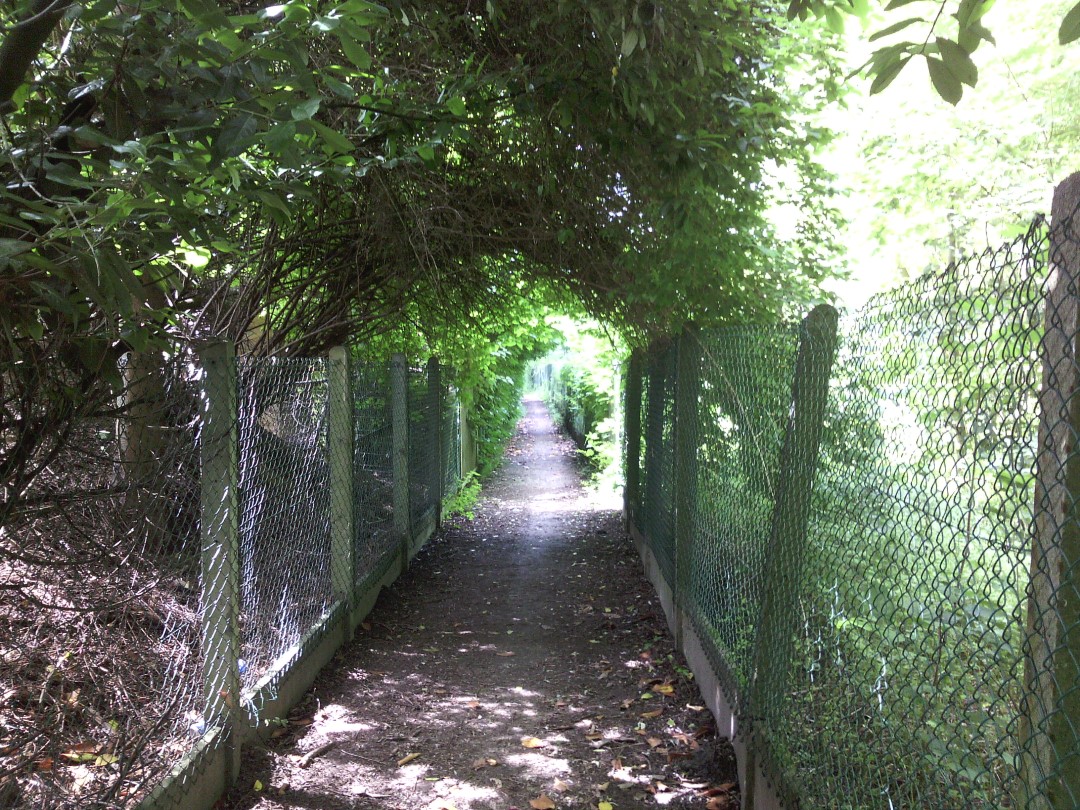
A tough ride for the experienced or electrically assisted cyclist. Start at the Visitor Center De Lambiek in Alsemberg. This route has it all: regional beers, varied nature and tough bites. Discover the green Linkebeek, visit a brewery (Oud Beersel, 3 Fonteinen & lambik-O-droom or Boon), taste a geuze and cycle through the beautiful Hallerbos. The hilly landscape also provides beautiful views, of course.
Those who wish can shorten the route to 33.3 km. It doesn't get any less hilly though. From junction 65 in Halle, follow junctions 53, 50, 55 to 58 - you'll miss brewery Boon but you'll pass craft brewery Den Herberg in Buizingen and still enjoy the Hallerbos.This route passes through the municipalities of Beersel, Linkebeek and Halle. This cycle route is offered by Tourism Flemish Brabant.
automatic translation
 nodes to follow
0 km
1.1 km
3.4 km
4 km
4.5 km
7.2 km
9.1 km
10.3 km
12.7 km
17.3 km
17.9 km
18.6 km
19.3 km
22.3 km
25.7 km
28.6 km
31.9 km
32 km
33.3 km
34.1 km
34.8 km
36.6 km
37.5 km
38.4 km
39.7 km
42.2 km
Monday, September 18, 2023 by Pascal GistelinckBridge over ring road between junctions 56 and 57 is broken, no passage possible. Had to make a detour. Why is that not mentioned here? It's a tough route, but with a decent bike and equally decent legs you can do it without getting off.
automatic translation
Thursday, July 13, 2023 by M.M.Your ebike literally rattles apart on the lambik geuze route. Cobblestones and roads there are downright in bad shape. Also, you bike halfway in t city, lots of traffic around your bike, lots of motorists who don't take cyclists into account. In short, glad I got off this bike route.
automatic translation
Thursday, February 25, 2021 by Willem DemuynckVery beautiful but spicy: many 'ups and downs'. Not suitable for city bike, better mountain bike (or e-mtb, like me). Also good: ALL junctions are listed - no wasting time or having to guess along the way. Especially the part Beersel-Alsemberg-Dworp-Hallerbos is beautiful. Highly recommended...
automatic translation
Monday, September 21, 2020 by Eddy Van de WeyerScenically a very beautiful route. On Sundays, both the Lambiek reception center in Alsemberg and the breweries along the way, were closed. The route itself is not suitable for the recreational cyclist. Slopes are too steep, which means you often have to dismount and go on foot. Best to mention this explicitly in the info about this route.
automatic translation
Thursday, July 30, 2020 by J.C.Nice varied route. I wouldn't do it without an e-bike, though. Sometimes very up and down. Saw a lot and especially enjoyed the surroundings.
automatic translation
Sunday, April 5, 2020 by Veerle GunsSpicy ride, but very beautiful.
Do try to cycle it on a nice (dry) day.
The roads in Beersel are dramatic and therefore dangerous in wet and muddy weather.
automatic translation
Tuesday, July 23, 2019 by L.L.According to our personal experience, too many steep hills. And on the downhill sometimes steep cobblestone sections... Distance of (only) 37km gives a distorted picture especially if you know that you often have to walk up the slope on foot with experienced mountain bikers puffing and puffing past you ... Few (or no) places to drink something. Also no benches along the way to take a break, unless poorly maintained or in very unattractive places. Indeed best to keep the app handy because getting off on the wrong track is no joke if you have to go back up the slope ;)....
We started halfway through node 63-83, but took the ford 50-53, so we cannot judge the southern side of the route. Despite in some places very nice views, this route did not manage to charm us. Regrettable but only for experienced and well-equipped cyclists....
automatic translation
Sunday, August 14, 2016 by R.H.It is primarily an attractive route for mountain bikers: steep ascents and descents, regularly on cobblestones, loose pebbles and narrow earthen paths (where it is best not to meet oncoming traffic). The numbering signs are in several places impossible to find or hidden behind bushes. Without a detailed bicycle map you will get nowhere on this route. However, the surroundings are very beautiful.
automatic translation
Sunday, July 24, 2016 by N.C.Very tough route with many steep inclines. Not for novice cyclists!
Very beautiful of nature though!!!
Highly recommended for the experienced cyclist.
Nadine
automatic translation


 Upgrade to Premium Plus
