Loading...

Office du Tourisme d'Enghien

14.3 km • Enghien

14.3 km 0.0 km 0.0 km

Icon starting point Addresse starting point (approximate)

Rue des Augustins 28, 7850 Enghien, BE

Icon type signage of route signage

The route is partially signposted with nodes. Use a GPS device or our app to follow the route through virtual nodes.

5m 5m 5m 5m

Icon description route Description

C'est un itinéraire pédestre de 14.3 km près de Enghien.

Icon nodes to follow nodes to follow

Image node 16
0 km
Image node 420
1.1 km
Image node 452
1.9 km
Image node 90
2.3 km
Image node 89
2.5 km
Image node 85
2.6 km
Image node 83
3.8 km
Image node 417
4.3 km
Image node 451
5.1 km
Image node 87
5.6 km
Image node 85
7 km
Image node 89
7.2 km
Image node 98
8.1 km
Image node 21
9.9 km
Image node 18
12.2 km
Image node 14
12.9 km
Image node 13
13.2 km
Image node 16
14.3 km

Which POI do you want to show on the map?

Experimental hiking network
Unsigned icon

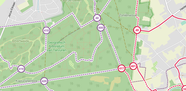
The route you have chosen runs (partly) along an experimental virtual hiking node network (the blue-coloured nodes and sections on the map).

You must be logged in to plan routes here.

Experimental hiking network
Unsigned icon

The route you have chosen runs (partly) along an experimental virtual hiking node network (the blue-coloured nodes and sections on the map).

These routes are not controlled in the field. Before you start hiking here, take a minute to read what an experimental hiking node network is and what rules you should follow when hiking here.