 Hiking
 Login
Login
 More
More
 EN
EN
 Premium
Katrienekespad
automatic translation
13.4 km • Zemst
2.9713 3 4/5
route offered by
Toerisme Zemst
 Addresse starting point (approximate)
Humbeeksebaan 77, 1980 Zemst-Laar
 signage
The route is not signposted. Use a GPS device or our app to follow the route.
 Description
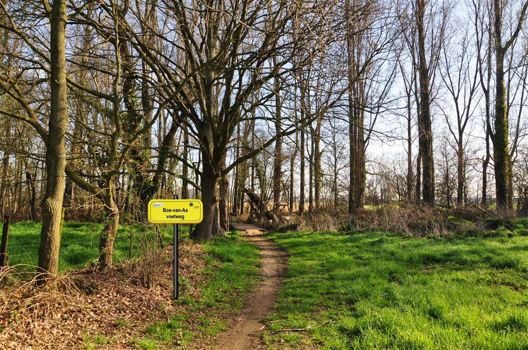
Woods-of-Avenue Road:
'Sentier 110 à à Boschweg', 'Sentier de celui de Kleinboschvoetweg à Hombeeck'. The 'Bos van Aavoetweg' officially starts in the 'Bos van Aa', but that part is completely closed and disappeared. The 'Bos van Aavoetweg' ran from the middle of the 'Bos van Aa' to the 'Katrienekesbrug'. The name of the bridge refers to Trieneke a lady who lived near there at the time, probably in the early 1900s.
This beautiful slow road loop starts in Zemst, consists of 61% slow roads and measures 13.4 km in nature.
automatic translation
Sunday, December 29, 2024 by F.V.Nice ride but initially the number of kms was 13.4 km. When I turned on the app, it said; itinerary changed and the number of km was 15.5 km. The problem was that the GPS had lost its head at the point of the changes.... and I wasted time getting back on track. It started out on tarmac, but then there were some nice paths...
automatic translation
Sunday, March 6, 2022 by Marc VervaetDone as a morning walk. Fortunately, the ground was still frozen or there was no getting through in some places. Damage from the spring storm thwarted here and there. Better to hike after a longer period of drought.
automatic translation
Monday, May 3, 2021 by K.S.Nice hike and all on a flat trail. Too bad you have to hike via GPS though. This hike is not signposted, even though you will encounter junction posts along the way.
automatic translation


 Upgrade to Premium Plus
