 Hiking
 Login
Login
 More
More
 EN
EN
 Premium
Four-brook walk (short)
automatic translation
6.3 km • Dilbeek
3.3943 2 3.5/5
route offered by
Toerisme Dilbeek
 Addresse starting point (approximate)
Dorpsplein 5, 1700 Sint-Martens-Bodegem (Dilbeek)
 signage
The route is signposted with thematic signs (no nodes). You can use a GPS device or our app to follow the route through the virtual nodes.
 Description
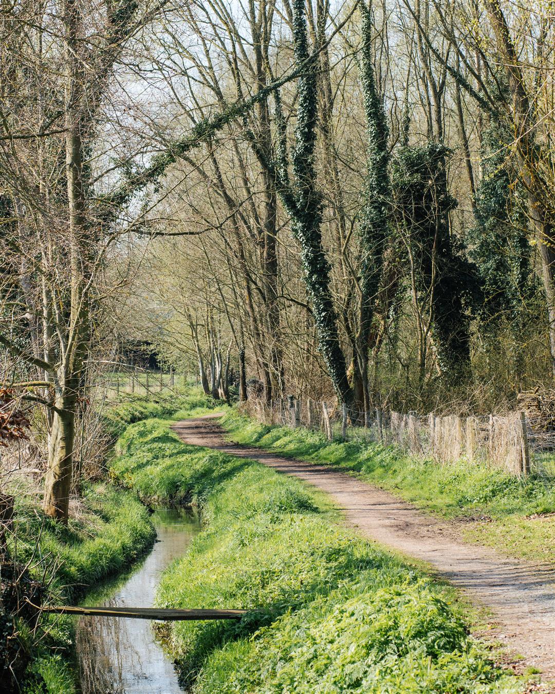
This beautiful nature walk starts at the authentic Huisje Mostinckx and leads you almost exclusively along slow roads. The walk owes its name to the Zierbeek, the Zibbeek, the Plankenbeek and the Doornbeek which spring from the hillside between Schepdaal and Sint-Martens-Bodegem and flow into the Molenbeek. They are often hidden in the greenery of trees and abundant riparian vegetation, but the stream valleys are cherished as green corridors for fauna and flora and for hikers.
Mainly unpaved roads and sometimes narrow trails, but accessible to "all terrain" - strollers.
The walk is signposted with the white, hexagonal signs.
The walk is a shortened version of the Vierbeken Walk (long) of 9.7 km.
This walk is offered by the municipality of Dilbeek
automatic translation
 nodes to follow
0 km
1.4 km
2.2 km
2.5 km
2.8 km
4.5 km
4.7 km
5.4 km
5.6 km
6.3 km
6.4 km
Alternative versions
Sunday, September 29, 2024 by Canters FrankWalk along quiet paths and roads. Too bad that buildings are never far away, even in the views along the route buildings are too often present.
automatic translation
Sunday, April 11, 2021 by Dirk BuysAdvantages: Pleasantly quiet trail. Typical for pajottenland is an environment where often restored farmhouses alternate with rural paths or woodland. In between an orchard. Even in rain and gray skies this trail comes into its own. Disadvantages: No opportunity to sit or picnic. Signage thv the Field Road "very" poor.
automatic translation


 Upgrade to Premium Plus
