 Hiking
 Login
Login
 More
More
 EN
EN
 Premium
The Pink Walk: Pays des Collines
automatic translation
7.7 km • Ellezelles
 official route
4.9192 5 2.9/5
route offered by
 Addresse starting point (approximate)
Plada 2, 7890 Ellezelles
 signage
The route is fully signposted with nodes.
 Description
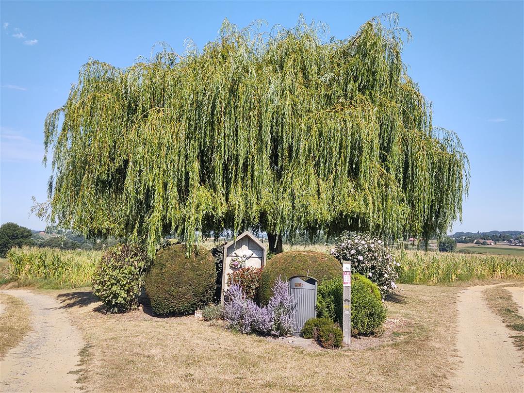
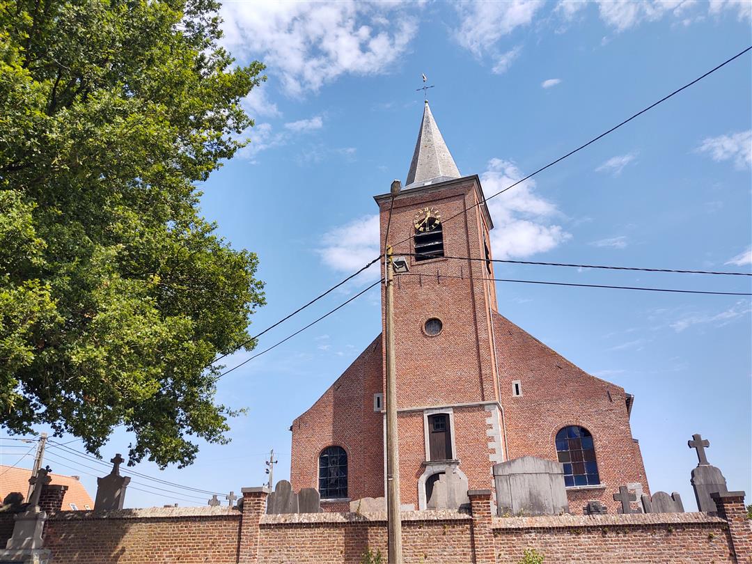
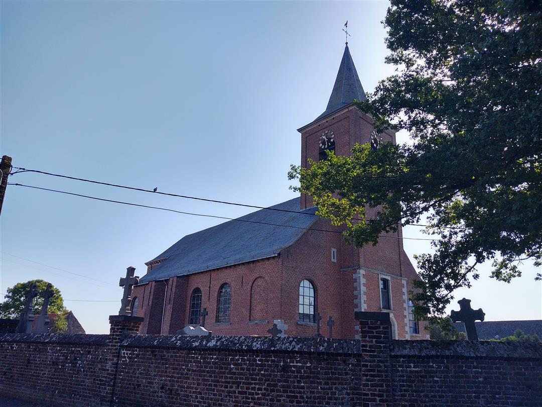
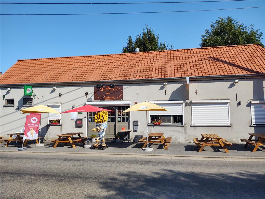
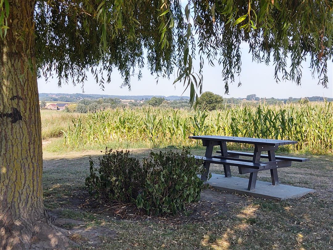
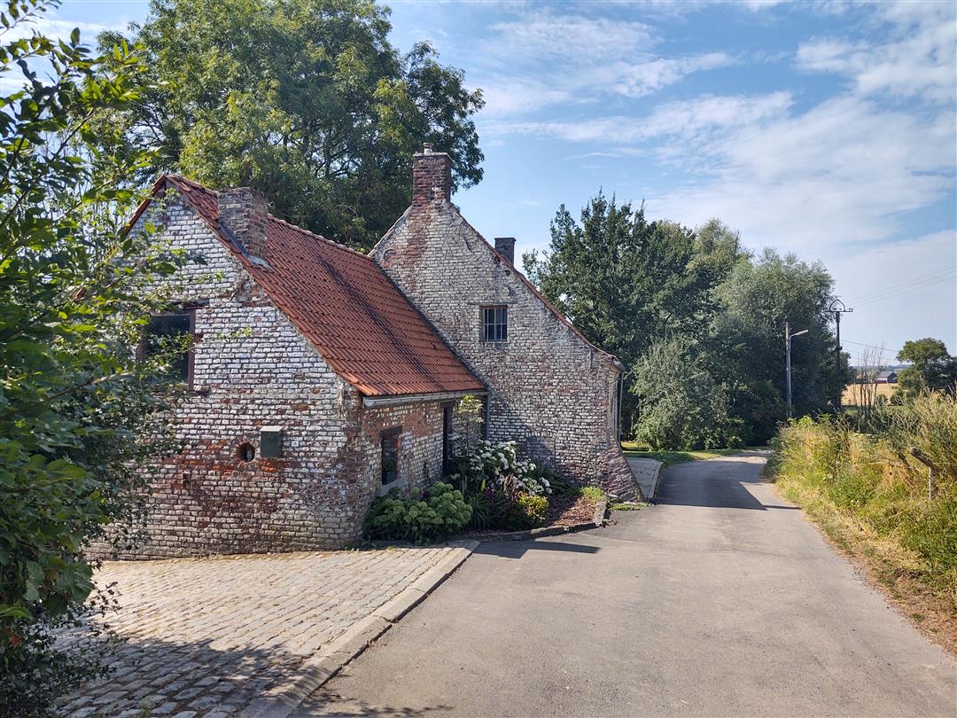
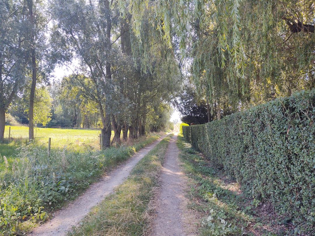
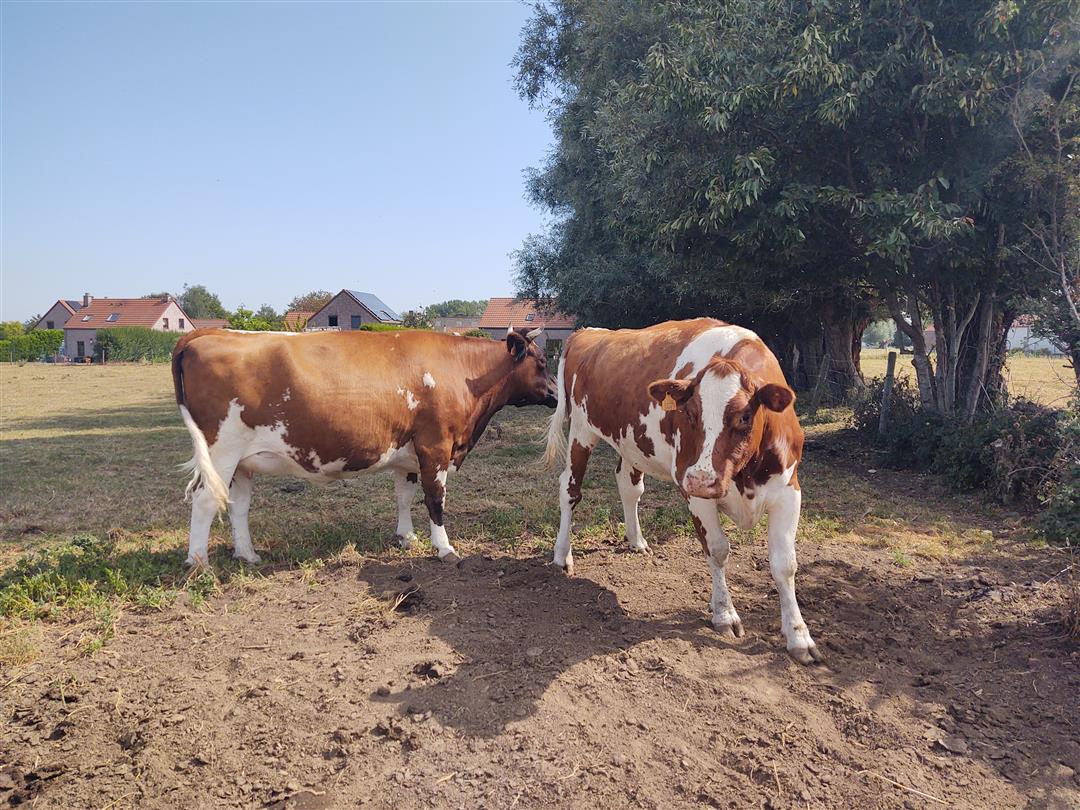
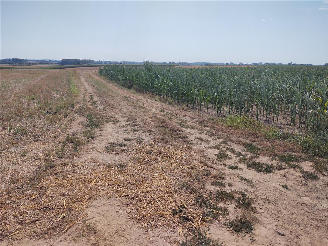
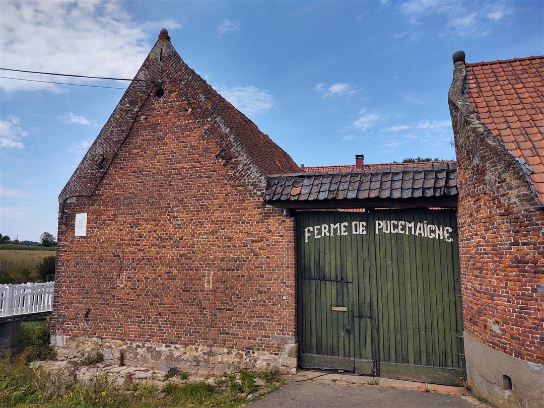
This route takes you in a loop through the rolling landscape of Le Pays des Collines. During your tour you will find the church tower of Elzele as a landmark. Along your route you will come across many typical agricultural scenes, grazing cows and horses, corn and wheat fields, the peace and quiet of new and old farms and all this under the watchful eye of a group of swallows or a buzzard on the hunt.Be sure to stop for a moment at the many chapels you will come across at almost every intersection. Just after the start there is a nice picnic area, hidden behind a grove in the middle of fields with a few trees providing shelter from the sun. And in the village of Elzele there is a typical Walloon friterie, to reward young and old alike with our Belgian potato pride after the hike.
automatic translation
 nodes to follow
0 km
0.6 km
1.4 km
2.1 km
4.6 km
5.1 km
5.9 km
6.3 km
6.5 km
7.8 km
Thursday, October 8, 2020 by Ronny Eckeron Sunday 03/10, a fallen tree blocked the hiking trail between nodes 10 and 66.
automatic translation
Monday, September 7, 2020 by evi van cauwenbergheThis hike starts at Plada 2, in Lahamaide, a borough of Ellezelles (near the Sainte-Marie-Madeleine church). We first stood at the church of Ellezelles itself, which is still 8 km further than the starting point of this hike. Tip: a cookie for the loose jack russell who bit my friend's shoes. :-)
automatic translation
Monday, September 7, 2020 by evi van cauwenbergheJunction 10 is located in a beautiful stretch of countryside. At the end of the country road, turn right. At the entrance to the meadow, follow the barbed wire keeping to your left. At the pollard willows, keep going straight ahead. You can cross the meadow 2x via a step (carefully). Actually, we thought this was the most beautiful part of the hike.
automatic translation
Saturday, September 5, 2020 by Danny Van parysYou can indeed get from node 65 to node 10, but then you have to keep left at that 'dead end' beside the field through tall weeds and then through a meadow where you have to crawl over the fence via a bench. Not really ideal though...
automatic translation
Monday, August 24, 2020 by Patrick BralWhen you turn at junction 65 toward junction 10 you end up on a dead-end path and you need to return to junction 65 to continue on to junction 66, junction 10 no longer exists
automatic translation


 Upgrade to Premium Plus
