 Hiking
 Login
Login
 More
More
 EN
EN
 Premium
Fantasiereycke hiking trail
automatic translation
6.2 km • Ghent
 official route
4.2879 2 4/5
 Addresse starting point (approximate)
Bisdomkaai, 9000 Gent
 signage
The route is not signposted. Use a GPS device or our app to follow the route.
 Description
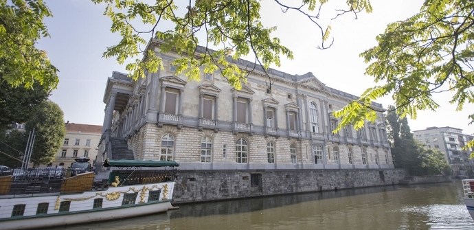
Imagine the following: Jan Van Eyck puts his turquoise capron on his head, slips patties under his shoes, pulls the door of his studio closed and steps out into the street. He has an appointment with the abbot of St. Bavo's Abbey. The latter wants to inquire about the price of a portrait. It is a beautiful spring day after too long a winter. So Jan decides to walk. He even takes a detour, past St. John's Church, the Braempoort, the Ketelvest, the port at the Veebrug, the Sint-Veerleplein.... Even a pitcher of beer along the way would do, Jan thinks. There must be an inn open. So begins Jan Van Eyck's Fantasiereycke Walking Tour, in 15th-century Ghent. With a little imagination, you can join the walk today, too. Not everythingJan sees that day is still there, but not everything has disappeared either. Let the city map be a guide and illustrator Lukas the guide. What has disappeared, he has brought back to life on the map.
TheFantasiereycke walking routeis brought to you byRouten, an initiative of Tourism East Flanders.
automatic translation
Sunday, May 19, 2024 by Greta Coolswe started following on the App and due to miss, switched to the map (went better).... In the walk you see culture, colors, history, art, different architecture, buildings you walk over and along the Leie, the Lieve, the Reep. Along the way lots of chances for hospitality (food, drinks, cafe, ... Did find this one a nice walk....
automatic translation
Sunday, April 28, 2024 by B.C.Pleasant walk through a less touristy and busy Ghent. Great surprising discovery of a lesser known yet authentic Ghent.
automatic translation


 Upgrade to Premium Plus
