 Hiking
 Login
Login
 More
More
 EN
EN
 Premium
Nature hiking trail
automatic translation
9.4 km • Zottegem
 official route
9.04718 13 4.3/5
 Addresse starting point (approximate)
Boembeke 18, 9630 Brakel
 signage
The route is fully signposted with nodes.
 Description
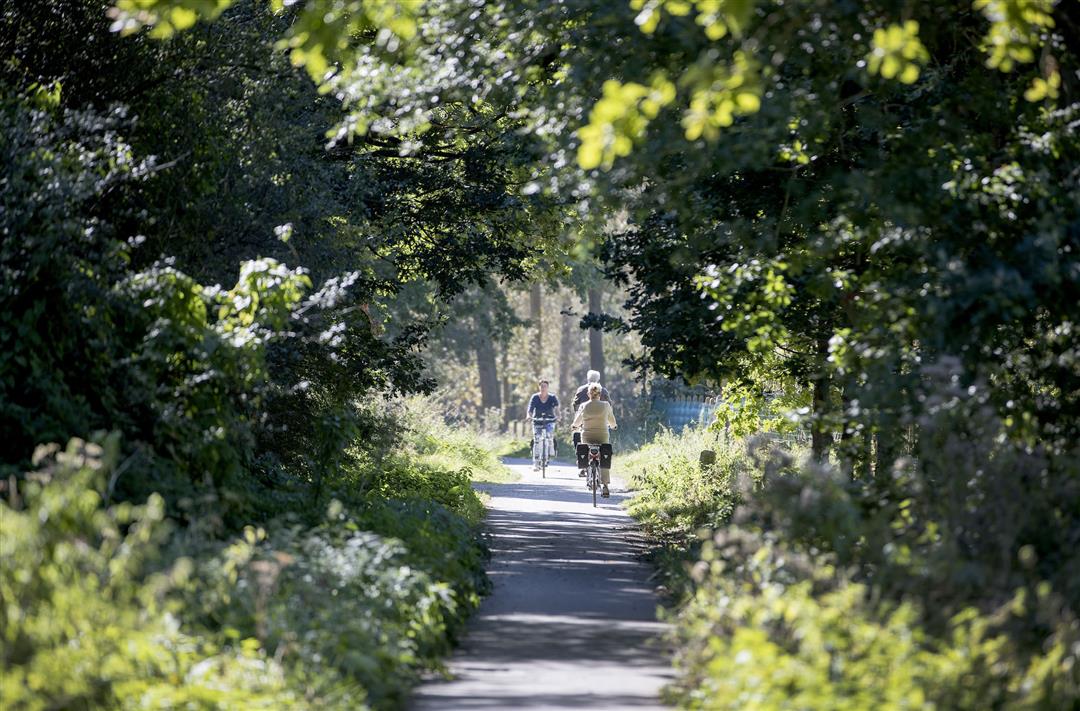
In the Zwalm Valley, nature and culture have gone hand in hand for centuries. The river provides fertile soil, but also the necessary energy to process the fruit of the fields. You walk past rows of trees, hedges and wooded borders in a landscape full of valuable biotopes and an area where various nature associations contribute to its preservation.
TheNature trailis offered byRouten, an initiative of Tourism East Flanders.
automatic translation
 nodes to follow
0 km
0.2 km
0.4 km
0.9 km
1 km
2 km
2 km
2.5 km
3.9 km
4.2 km
4.7 km
6 km
6.5 km
7 km
8.1 km
8.2 km
9.2 km
9.4 km
Sunday, November 21, 2021 by Christine LalmantBeautiful hike, with nice views. Nice and muddy here and there, so appropriate walking shoes are recommended. Can be combined with the walk "Op en rond de Berendries" (from node 36 to node 47).
automatic translation
Monday, August 16, 2021 by N.D.Nice walk for everyone, bit between houses interspersed with fields. The fields are passable only after some days of drought, not suitable for strollers. Still many nettles and thistles, resulting in pricking. Along the way you come across a few cafes, nice in summer in hot weather. Well marked
automatic translation
Wednesday, July 21, 2021 by johan van lanckerBeautiful walk, bit of everything in it. Tip maybe try to maintain the junction walks a bit better and check every now and then if all signs are still present or at least clearly visible.
automatic translation
Monday, June 7, 2021 by S.S.Not the most challenging but beautiful and especially varied walking route, you never step very long with the same view. Personally I missed some bits of forest during the hike and could there be some less urban sections. The route markings are also sometimes missing at crucial points, definitely keep something like a map or GPS handy!
automatic translation
Saturday, May 8, 2021 by L.D.Beautiful walk, wonderful views. At node 38 the picture disappeared. Fortunately we know the area but node 46, 47 and 49 not seen. Via Mijnwerkerspad back to start node 59. Too bad we missed a piece of nature!
automatic translation
Wednesday, April 28, 2021 by R.D.Superb hiking trail! Really great! Lots of little cute paths, beautiful nature, wonderful views, you will definitely unwind here, 10/10 for us!
automatic translation
Sunday, February 28, 2021 by B.C.28/02 walk from one nature island to another, (too) much residential subdivision, Better in spring or summer where urbanization is somewhat masked. Mostly unpaved, little through forest. Great vistas, or view of how even here the green of the region is gradually becoming sporadic and urbanization is advancing.
automatic translation
Friday, January 29, 2021 by Danielle GhyselsBeautiful hike with nice views but not recommended around this time of year. Very muddy and soggy. Ankle-deep in mud and fell a few times by slipping. Better to do during dry period.
automatic translation
Sunday, November 8, 2020 by A.V.Very nice hike, goes up and down, many trails are unpaved. Beautiful views!
automatic translation
Sunday, November 8, 2020 by Bart Briesenvery nice hike , distinguished by its views. Despite the walk in the " Flemish Ardennes " it is never too steep.
automatic translation
Monday, August 3, 2020 by A.V.wonderful hike, varied, few buildings, except for attractive old farms, pure nature ....
automatic translation
Monday, June 1, 2020 by H.D.A nice walk along rural roads. Largely unpaved
automatic translation
Sunday, May 10, 2020 by M.V.Wonderful route! Highly recommended
automatic translation


 Upgrade to Premium Plus
