 Hiking
 Login
Login
 More
More
 EN
EN
 Premium
Bearries hiking trail
automatic translation
12.7 km • Zottegem
 official route
7.85723 12 4.4/5
 Addresse starting point (approximate)
Sint-Hubertusplein, 9620 Zottegem
 signage
The route is fully signposted with nodes.
 Description
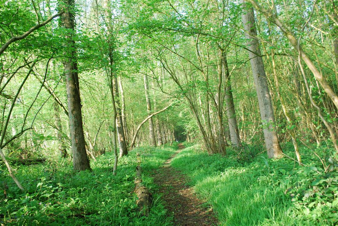
The Flemish Ardennes has invested heavily in its hiking infrastructure and now has more than 850 kilometers of interconnected hiking trails. This hike introduces you to Flanders' Most Beautiful Landscape via our hiking nodes. You can choose to walk the full route or explore one of the shorter loops. Have fun!
TheBerendries walking routeis offered to you byRouten, an initiative of Tourism East Flanders.
automatic translation
 nodes to follow
0 km
2.5 km
3 km
3.3 km
4.3 km
5 km
5.3 km
6 km
7.3 km
7.8 km
8.8 km
9 km
9.3 km
10.1 km
11.3 km
12.6 km
Friday, July 11, 2025 by M.D.A signpost to the starting point would be welcome in the village square and/or at the church. Between nodes 39 and 40 a fence has been placed (at the level of the cobblestone strip) blocking the passage.
automatic translation
Saturday, September 16, 2023 by Chrischa Van de VoordeBeautiful route, along hidden paths, quiet roads and through woods. We added nodes 36 - 35 - 53 - 51 - 50 - 34, bringing the route to 17.6 km. It was really worth it, another very beautiful stretch.
automatic translation
Sunday, November 21, 2021 by C.L.Beautiful and varied hike, very muddy sections here and there. Attention: at the starting node 36, the sign indicating the direction to node 34 is missing. Coming from the church, take the path behind the church. A little further on take the first sign to junction 34.
automatic translation
Monday, April 12, 2021 by Myriam De WinterVery varied walk: many vistas, small forest paths, narrow field paths, a plank path, still some ascent & descent. Starting point 36 is behind the church. In the beginning be alert not to miss NR. In wet weather some paths are muddy so good walking shoes are necessary! Beautiful nature and what a silence and tranquility! BLESSING!
automatic translation
Monday, March 15, 2021 by Peter Van der HaegenVery nice varied hiking trail! Free parking can be found at the Berendries.
automatic translation
Monday, January 11, 2021 by Willy De Regge-HeyseVery nice hiking trail with some calves biters in between. But in wet conditions very much mud and sometimes difficult passages. (.like yesterday). Will certainly do this route again when the surface is drier. The sign 36(start) is behind the church. 300m from the st-hubertus square.
automatic translation
Wednesday, December 2, 2020 by Lena FaictVery nice hike, definitely take the extra loop (see review below) There are many animals to spot, wallabies, alpacas, sheep, goats, ... You also pass charming houses :-) supplies in the Delhaize or bakery of Sint-Maria-Oudenhove. You can also find a super nice cafe on the village square.
automatic translation
Wednesday, November 4, 2020 by P.V.Nice hike especially the second part of the trail. In the first part you go rather past houses and over the regular roadway. The second part is very beautiful in the wide nature on the flank of the Berendries.
automatic translation
Friday, July 10, 2020 by Christian LamontNice hike, only when going from 48 to number 49 they apparently rerouted the original route because part of it has become private property. This area is not easily walkable, and this area has not yet been adjusted on the map or gpx file! can this be adapted please
automatic translation
Friday, June 19, 2020 by S.V.Very nice hike. Beautiful nature with the necessary flora and fauna...peacocks, squirrels....
automatic translation
Sunday, May 17, 2020 by M.C.Wonderful hike.Caution:on the bearries pole 46 is on the right.
automatic translation
Tuesday, April 7, 2020 by H.V.Very beautiful nature hike
automatic translation


 Upgrade to Premium Plus
