 Hiking
 Login
Login
 More
More
 EN
EN
 Premium
Gnome hiking trail
automatic translation
14.2 km • Flobecq
 official route
7.1108 4 3.8/5
 Addresse starting point (approximate)
La Houppe 2, 7880 Flobecq
 signage
The route is fully signposted with nodes.
 Description
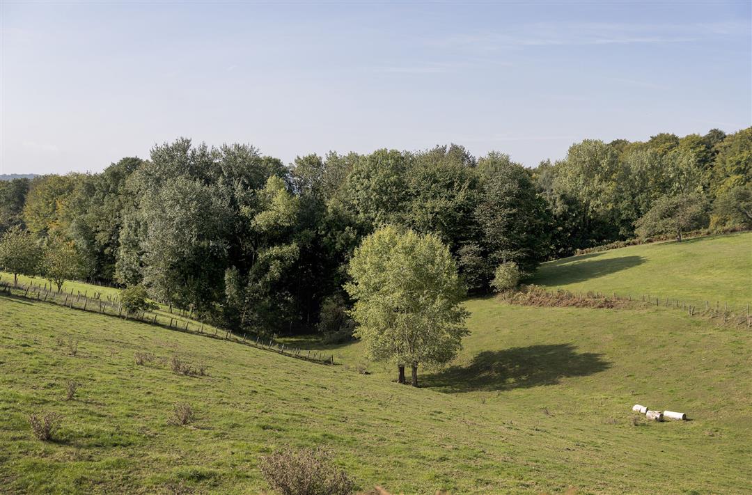
In quite a few places, the language border runs parallel to natural "barricades," including hills and waterways. A good example is the Pottelberg, not without reason the highest hill in the Pays des Collines. The slope appeals especially to cycling enthusiasts, but sturdy calves come in handy on foot as well!
The Gnome hiking trailis offered to you byRoutenan initiative of Tourism East Flanders.
automatic translation
 nodes to follow
0 km
2.3 km
3.5 km
6.5 km
7.1 km
10.9 km
11.9 km
14.2 km
Thursday, July 24, 2025 by Kimberley Versmessevery nice, rather a little longer than the indicated 14km. we arrived at 16km. the car was at chalet Gerard. pity about the paved roads that were too built up for us then... not buggyproof... small tip 😀 well done but not easy!
automatic translation
Sunday, May 16, 2021 by R.D.Very nice hike definitely worthwhile, but there is something wrong in the node numbers, if you want to start at La Houppe you start with 6 and continue with 9,7,93,39,40,52, and end back with 6.
automatic translation
Sunday, April 25, 2021 by T.V.Walk with very nice pieces of forest, also a bit too many paved paths. Final distance on gps 13.8km.
automatic translation
Thursday, April 22, 2021 by K.P.Very nice hike, though 14.3km on the app
automatic translation


 Upgrade to Premium Plus
