Hiking
 Login
 More
 EN
 Premium
Blue Rhombus Molenheide
automatic translation
3 km • Houthalen-Helchteren
2810 0 0/5

 Addresse starting point (approximate)
Molenheidestraat 7, 3530 Houthalen-Helchteren, BE
 signage
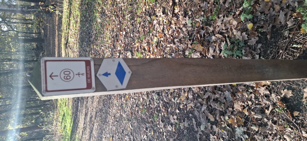
The route is fully signposted with thematic signs (no nodes).
 Description
Hiked on 16/11/2026
Parking: Spacious parking at Molenheidestraat in Houthalen-Helchteren.
Distance walked according to GPS: 3 km.
Signage: Blue diamond or junction points.
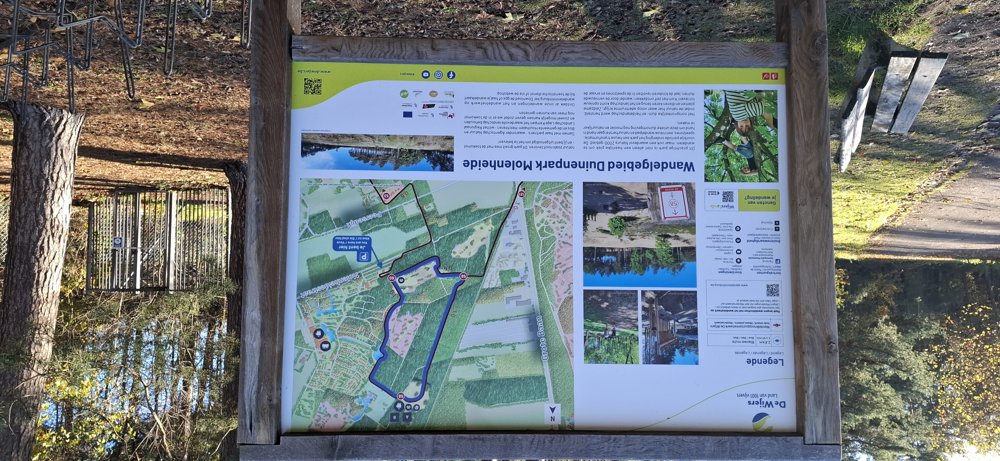
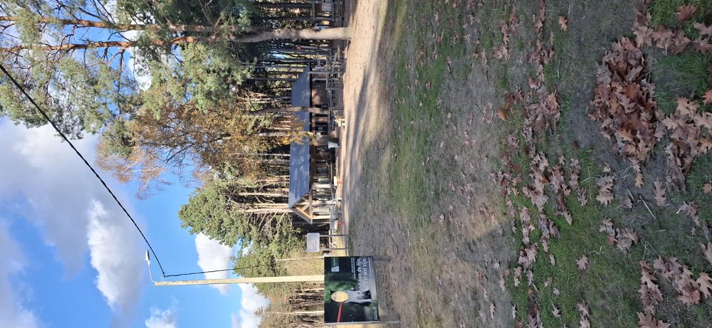
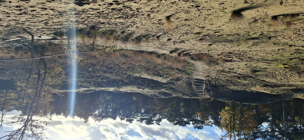
From the parking lot, walk to the iron gate and follow the blue trail. You pass a dune hill and a little further, you dive into the forest. After 1.8 km, you reach the forest canteen where you can also see wild boars, safely behind a fence. You do need to deviate slightly from the route. At the end, you walk over the dune ridge that you saw at the beginning of the hike. Short beautiful route over well-maintained paths.
Rest bench(es): 1.9 km at the forest canteen.
Attractions: Wild boars and for the kids, a small playground.
Catering: The forest canteen. The cafeteria is open on weekends and public holidays from 11:00 to 17:00. During Belgian school holidays, the canteen is also open on Tuesday, Wednesday, and Thursday from 11:00 to 17:00.
automatic translation
 nodes to follow
0 km
0.2 km
0.7 km
1.8 km
2.8 km

3 km

 Upgrade to Premium Plus