Loading...

Mini trip Lozerheide

automatic translation

3 km • Bocholt

6990 0 0/5

3 km 0.0 km 0.0 km

route offered by

Jan Theunis

Icon starting point Addresse starting point (approximate)

Poederstraat 1, 3950 Bocholt, BE

Icon type signage of route signage

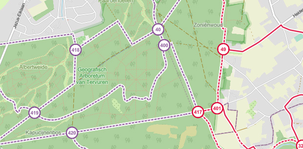
The route is not signposted. Use a GPS device or our app to follow the route through the virtual nodes.
5m 5m 5m 5m
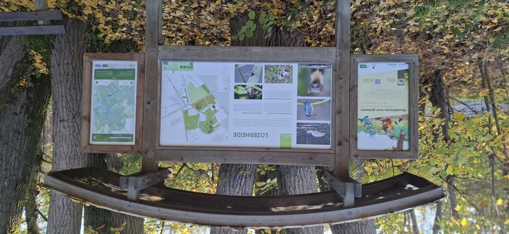
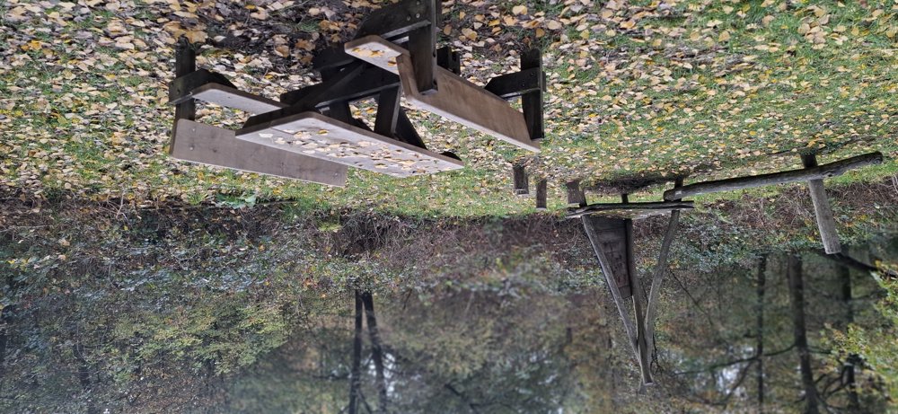
Atmosphere image 1 of route Mini trip Lozerheide Atmosphere image 2 of route Mini trip Lozerheide Atmosphere image 3 of route Mini trip Lozerheide
© Jan Theunis

Icon description route Description

Walked on 11/8/2026

Parking: Parking Fabriekstraat Bocholt (Lozen).

Distance walked according to GPS: 3.09 km.

Signage: GPS/Hiking App.

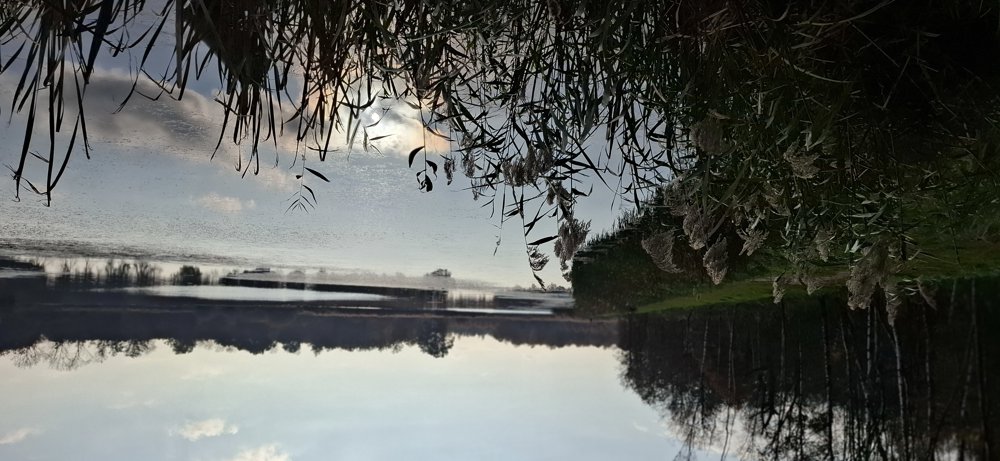
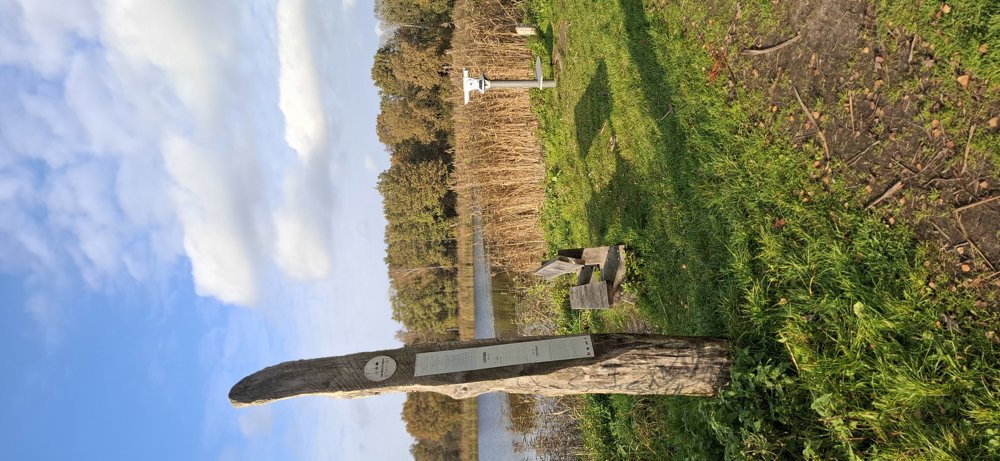
This short walk goes via virtual junctions, so use your hiking app or GPS. A nice peaceful walk on well-traveled paths through the forests of Lozerheide. You also pass a beautiful pond with a bench.

If you take your barking four-legged friend with you, you can walk the last part via the off-leash dog area to the parking lot instead of continuing this walk.

Bench(es): 0.9 / 2 and 2.2 km.

automatic translation

Icon nodes to follow nodes to follow

Image node 24
0 km
Image node 25
0.3 km
Image node 26
1.3 km
Image node 27
2.2 km
Image node 28
2.3 km
Icon deviation route
2.6 km
Image node 24
3 km
This route does not have any reviews yet. Be the first!
Rate route!

Which POI do you want to show on the map?

Experimental hiking network
Unsigned icon

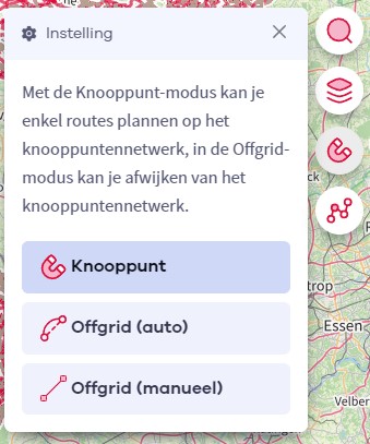
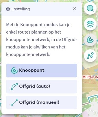
The route you have chosen runs (partly) along an experimental virtual hiking node network (the blue-coloured nodes and sections on the map).

You must be logged in to plan routes here.

Experimental hiking network
Unsigned icon

The route you have chosen runs (partly) along an experimental virtual hiking node network (the blue-coloured nodes and sections on the map).

These routes are not controlled in the field. Before you start hiking here, take a minute to read what an experimental hiking node network is and what rules you should follow when hiking here.