
 Hiking
 Login
Login
 More
More
 EN
EN
 Premium
The mining past on a handkerchief.
automatic translation
5 km • Beringen
990 0 0/5

 Addresse starting point (approximate)
be-MINE 19, 3582 Beringen, BE
 signage
The route is fully signposted with thematic signs (no nodes).
 Description
Walked on 14/9/2026
Parking: Parking B-Mine, Beringen.
Distance walked according to GPS: 4.9 km.
Signage: Blue diamond (near SportOase).
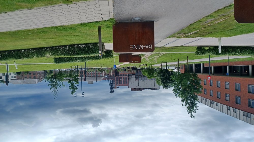
This short walk takes you past the highlights of the mining history of Beringen-Mijn.
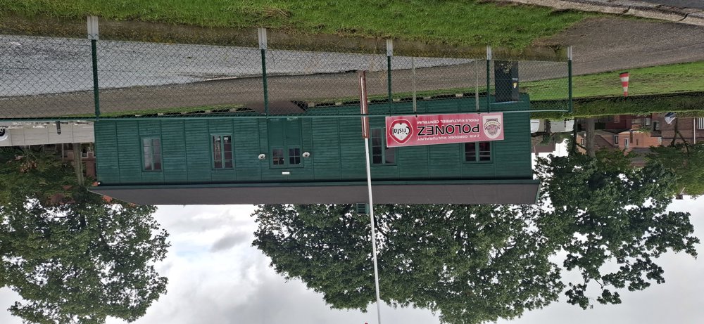
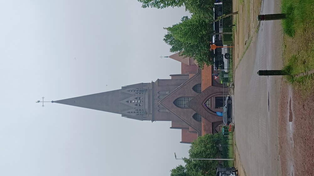
You walk through the cité with, among other things, the Polish barrack and the green barrack 15, an original barrack where foreign miners were housed. A little further on is the milk house, where the miners could drink milk after their shift, Regina Mundi (the former school), and the impressive Saint-Theodardus Church.
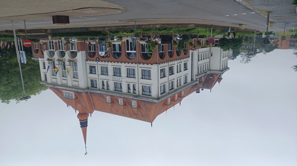
You also go behind the football stadium of Beringen FC, once a club in the highest football league. The casino, the kiosk surrounded by the engineer's houses, and through the director's park. Back at the mine buildings, you can visit the tourist office of Beringen.
Resting bench(es): 0.7/2.8/3.3 and 4.1 km
Sights: among other things, various buildings of the mine.
Catering: Mia Mensa / Bicycle café Mijnmuseum.
automatic translation



 Upgrade to Premium Plus


