
 Hiking
 Login
Login
 More
More
 EN
EN
 Premium
Hidden Ponds in the Lozerheide
automatic translation
6.4 km • Bocholt
7.9022 0 0/5

 Addresse starting point (approximate)
Poederstraat 1, 3950 Bocholt, BE
 signage
The route is not signposted. Use a GPS device or our app to follow the route.
 Description
Lozerheide is a surprising piece of nature where water, forest, and grasslands alternate.
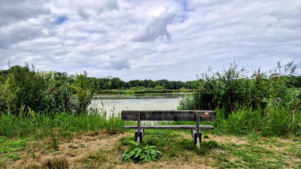
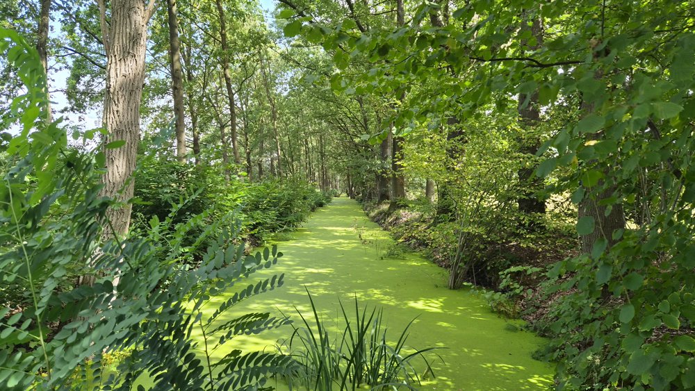
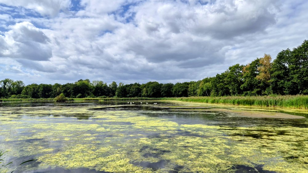
Wide, well-maintained walking paths lead you through the deciduous forest, along unique watercourses and open grasslands, with the picturesque pond as the highlight. By the water, it's delightful to watch the many waterbirds that have made their home here.
The name Lozerheide suggests that you will find heathland here, but nothing could be further from the truth. Since the 19th century, the original heathland has been irrigated with canal water to grow hay. This hay was essential for the horses of the Leopoldsburg barracks and was also used to fill the soldiers' mattresses. Later, the hayfields were planted with poplars, whose wood was used for matches.
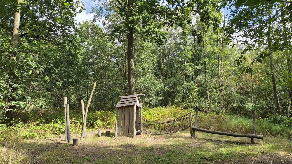
Today, the Flemish government manages the area as a valuable nature and forest area. Boots may be useful in winter. Dogs are also welcome in the special off-leash zone.
automatic translation
 nodes to follow
0 km

1 km
1.6 km
2.2 km
2.5 km
2.7 km
3.2 km
3.3 km
3.8 km
4.5 km
5 km
5.5 km
5.9 km
6.4 km



 Upgrade to Premium Plus


