
 Hiking
 Login
Login
 More
More
 EN
EN
 Premium
Frasnes hill country
automatic translation
14.6 km • Frasnes-lez-Anvaing
3.6031 0 0/5

 Addresse starting point (approximate)
Grand'Place 9A, 7911 Frasnes-lez-Anvaing, BE
 signage
The route is not signposted. Use a GPS device or our app to follow the route.
 Description
Departure: Sint-Martinus Church - Grand Place - Frasnes
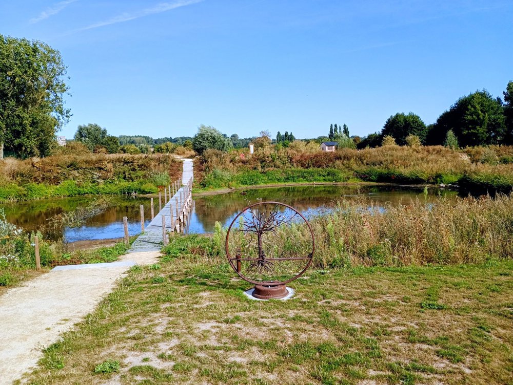
This church is part of the Open Churches network and can be visited every day. Once out of the village, we reach a small but beautiful natural area. The paths have been refurbished (and differ slightly from the map, but getting lost is impossible). There is a lookout tower, two hides, and a boardwalk over a body of water - all beautifully maintained.
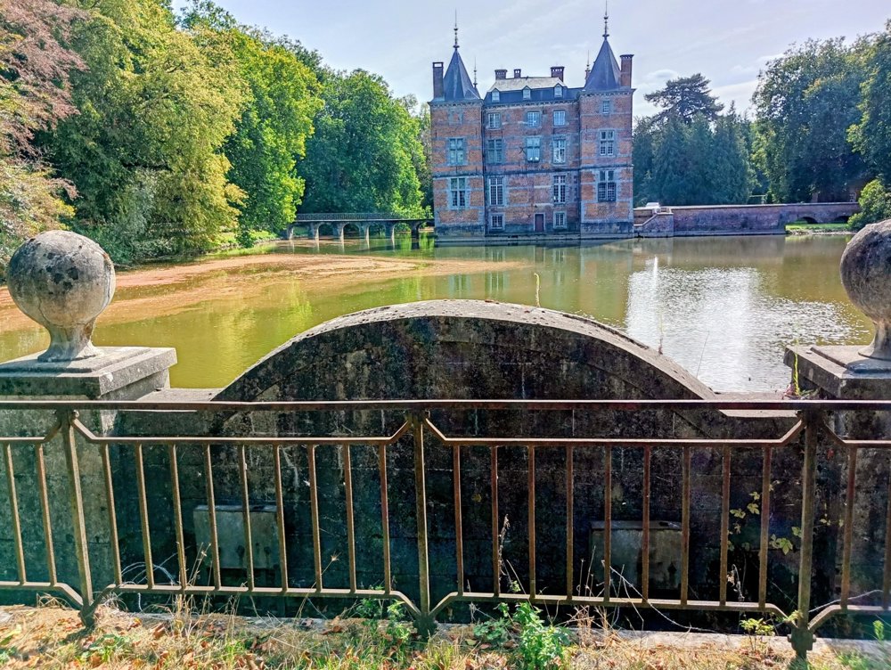
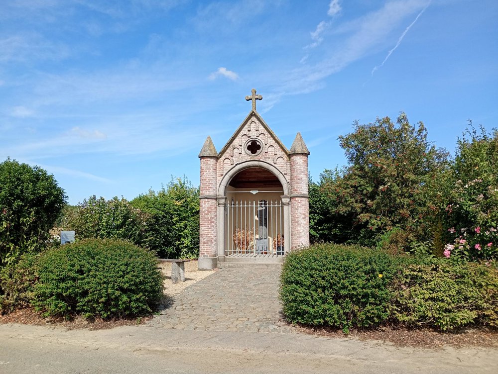
Through the fields, we pass a chapel from 2010, erected in honor of Father Damien of Molokai. Unfortunately, all other chapels on our route are in a deplorable state. Once past this chapel, a rather wooded area begins. Through stately avenues, we reach the beautiful castle of Anvaing. It was here on May 28, 1940, that the Belgian surrender was signed.
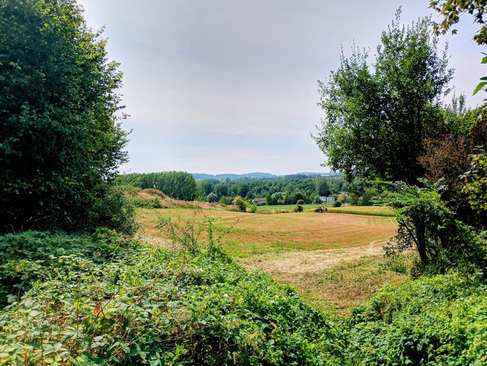
We are only 20 km from the Wall of Geraardsbergen, so the second part of the walk is hilly.
There are sufficient rest points along the way, no catering services. The paths can become muddy.
automatic translation



 Upgrade to Premium Plus


