
 Hiking
 Login
Login
 More
More
 EN
EN
 Premium
Godarville - varied loop walk
automatic translation
14.9 km • Chapelle-lez-Herlaimont
5.3333 0 0/5

 Addresse starting point (approximate)
Place De Gaulle 9A, 7160 Godarville, BE
 signage
The route is not signposted. Use a GPS device or our app to follow the route.
 Description
Departure: NMBS station parking lot - Place de Gaulle - Godarville
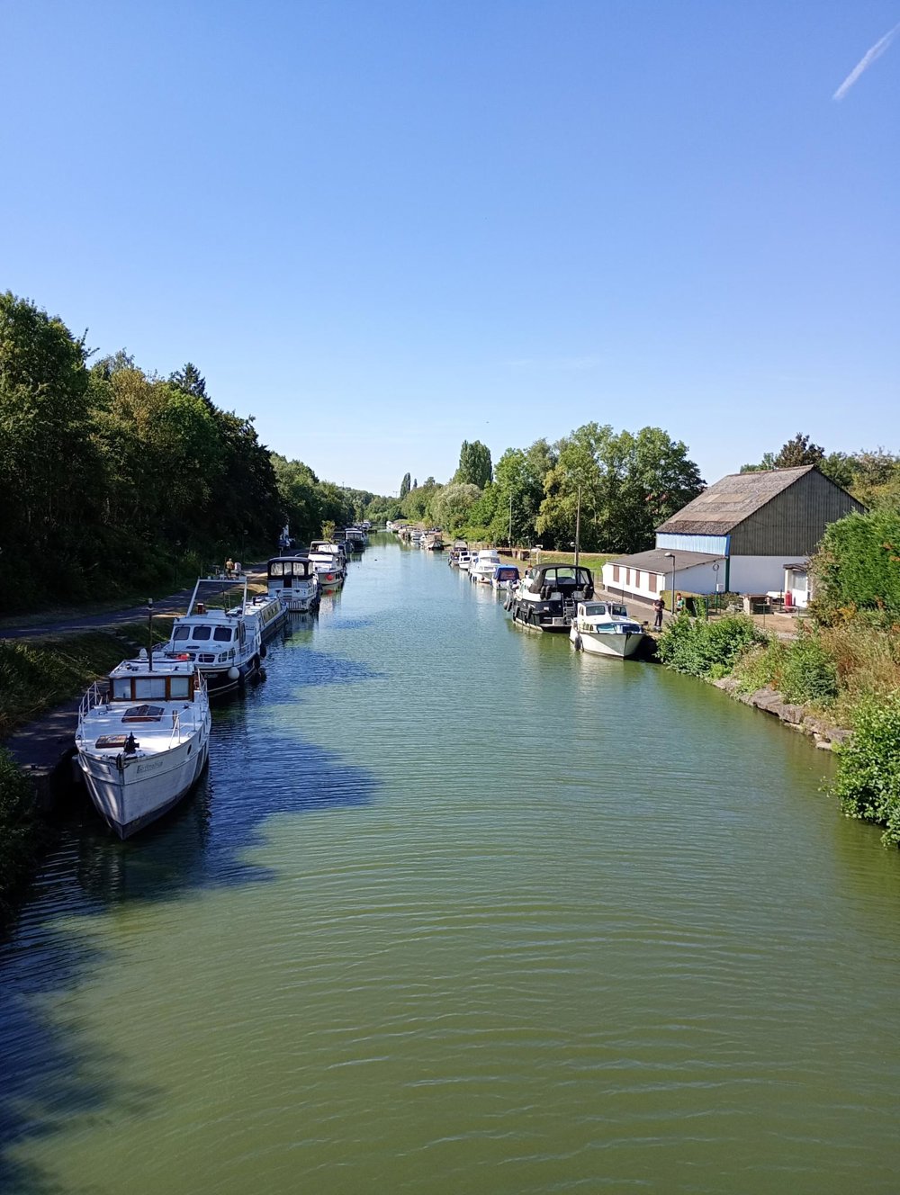
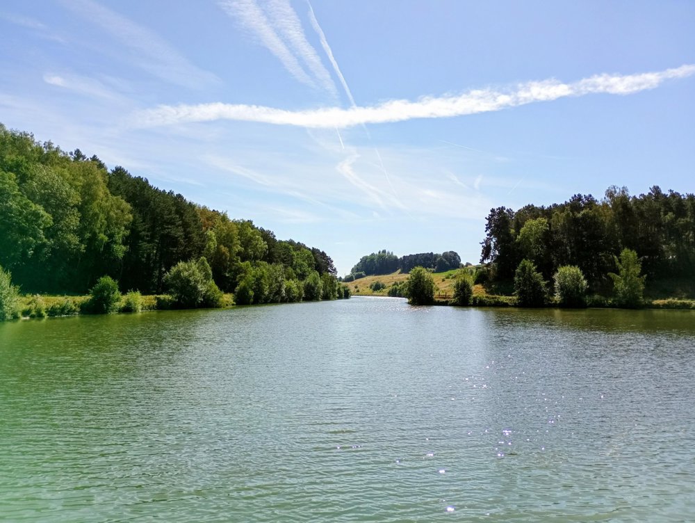
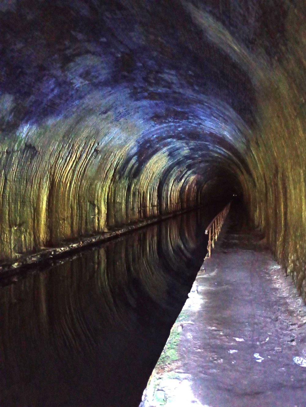
Via narrow footpaths and then through the fields to the Seneffe marina where we follow the canal. A few kilometers further, at the end of a narrow road next to the Bomeree Forest, we arrive at the Godarville tunnel. This tunnel, about 1 km long, has been out of use since 1958 and is now a habitat for bats. Take a look, it is worthwhile.
Over the years, the tunnel has taken on the appearance of a natural cave. Water seepage has created stalactites on the vaults. A towpath also runs through the tunnel, along which horses once walked, towing boats over the canal.
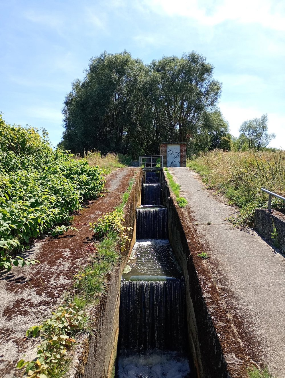
Then we walk back towards the starting point through the fields and the RAVeL bike path along the canal to end on a country road next to the tracks that brings us back to Godarville.
Few rest points and no catering along the way.
automatic translation



 Upgrade to Premium Plus


