
 Hiking
 Login
Login
 More
More
 EN
EN
 Premium
Stambruges 'Mer de Sable' and 'Fontaine Bouillante'
automatic translation
11.8 km • Belœil
2380 0 0/5

 Addresse starting point (approximate)
Rue Eugène Lebailly 1, 7973 Stambruges, BE
 signage
The route is not signposted. Use a GPS device or our app to follow the route.
 Description
Departure: Parking lot cemetery - rue Bernard Hecquet 35 - Stambruges
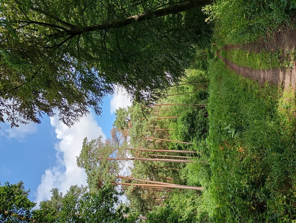
We walk out of the village, cross the canal, and enter the forest of Stambruges, heading towards La Mer de Sable. This former inland sea has been dry for over a century and is now a protected nature reserve.
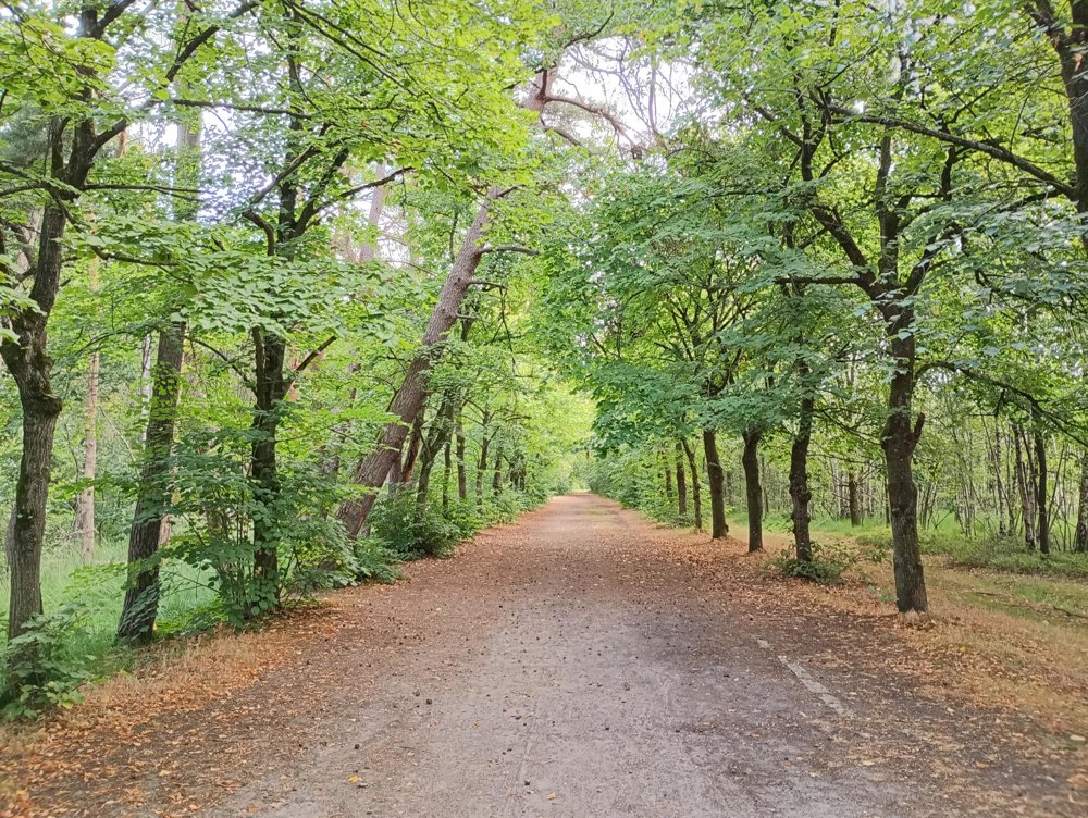
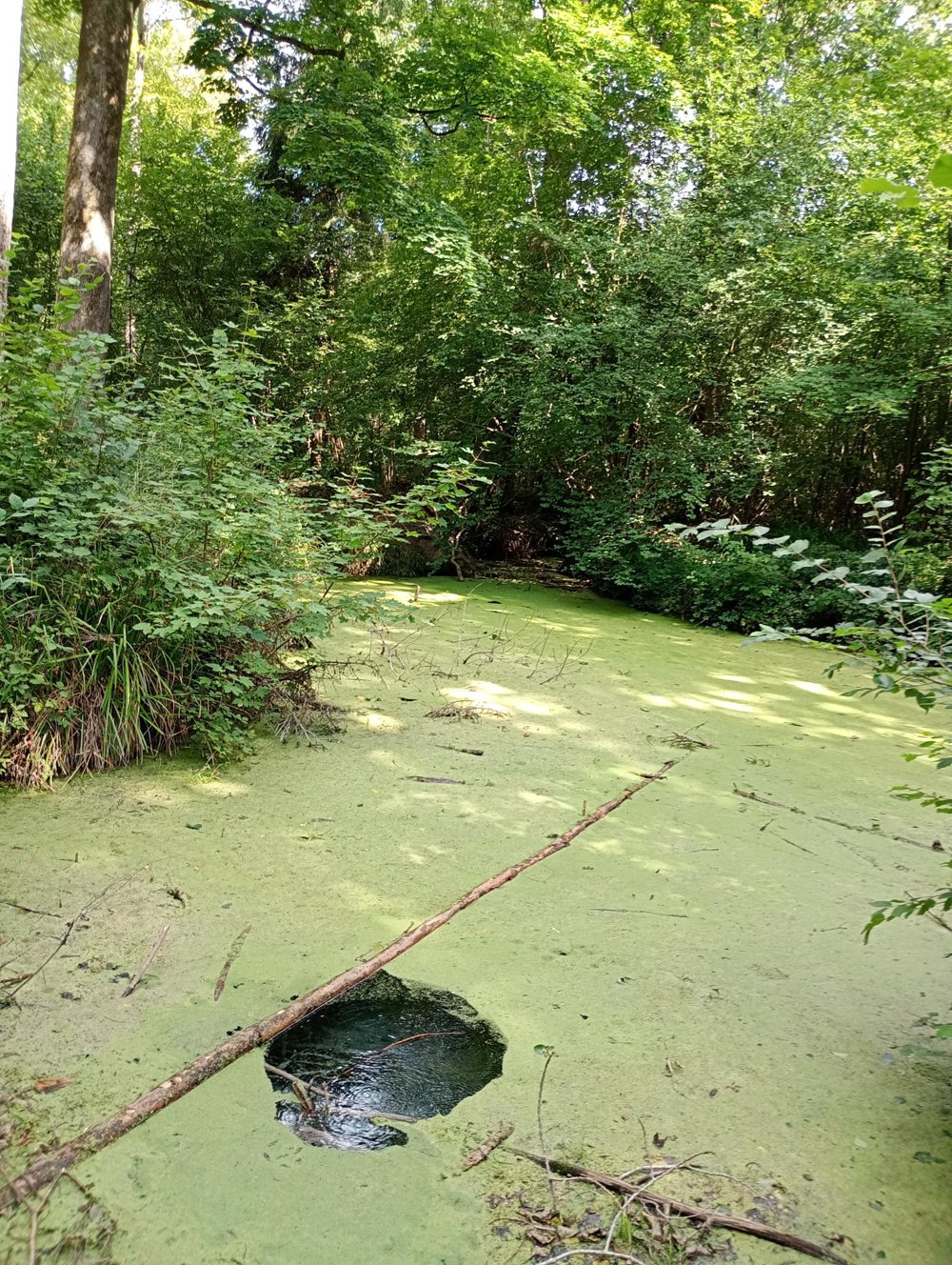
The forest paths are very varied: we alternate between walking on stately avenues, narrow forest paths, and bridle paths. After about five kilometers, we reach La Fontaine Bouillante. This spring bubbles continuously, making it look like the water is boiling. In reality, the water bubbles up from a crack in the earth's crust.
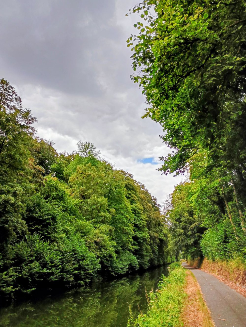
The last three kilometers, we walk along the bike path by the canal back to the starting point.
Along the way, there are plenty of rest areas and numerous picnic tables. There are no catering facilities on the way. GPS recommended.
automatic translation



 Upgrade to Premium Plus


