
 Hiking
 Login
Login
 More
More
 EN
EN
 Premium
Braine-le-Comte
automatic translation
12.8 km • Braine-le-Comte
3.0561 0 0/5

 Addresse starting point (approximate)
Rue de Mons 80, 7090 Braine-le-Comte, BE
 signage
The route is not signposted. Use a GPS device or our app to follow the route.
 Description
Departure: Braine-le-Comte station, parking outside the blue zone, Rue de Mons.
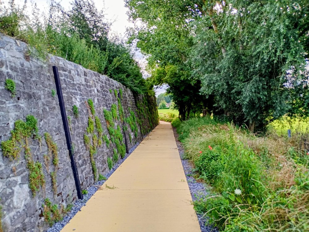
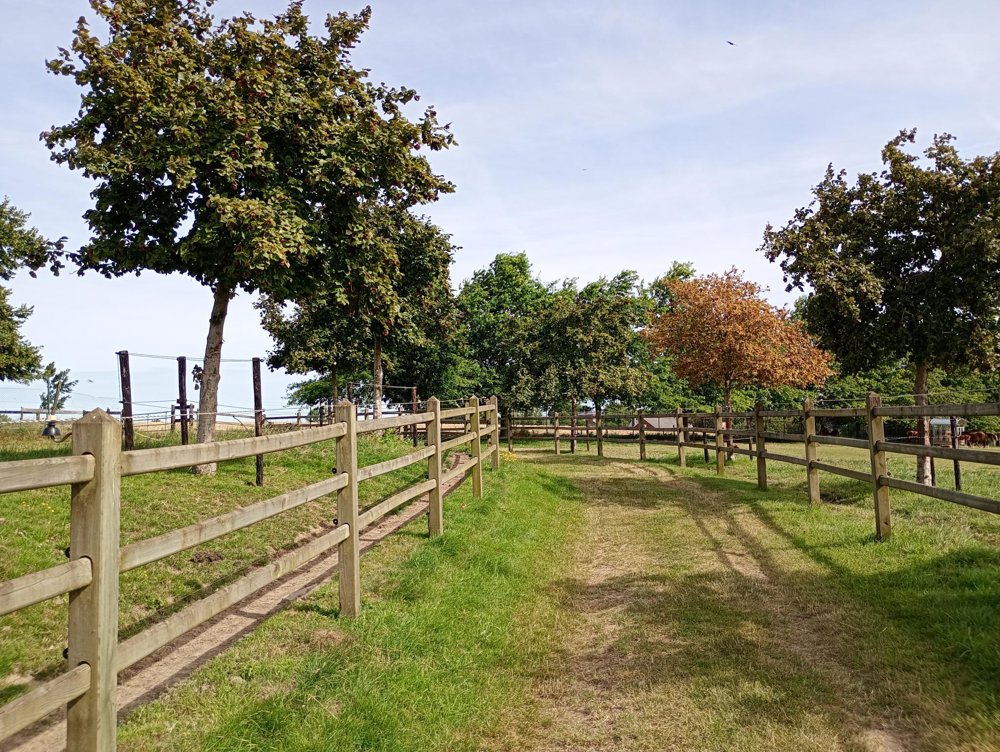
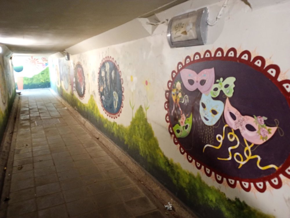
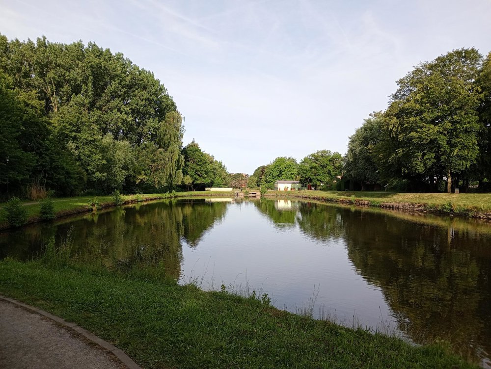
We walk out of the town via the park and the ponds of Joseph Martel. Then through the pedestrian tunnel with beautiful murals over the old railway line no. 123, which is now a paved cycle path. Next, via a large loop through the fields and the hamlet 'Hameau des Carmes' back to the starting point.
Most of the walk is on paved roads, so this walk can also be done in rainy periods. There are no catering facilities along the way and there are a limited number of rest points.
automatic translation



 Upgrade to Premium Plus


