 Hiking
 Login
Login
 More
More
 EN
EN
 Premium
Provincial Domain Bulskampveld
automatic translation
19.3 km • Beernem
2680 0 0/5

 Addresse starting point (approximate)
Reigerlostraat 69, 8730 Beernem, BE
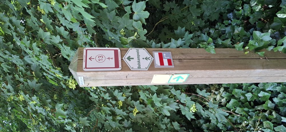
 signage
The route is fully signposted with nodes.
 Description
Walked on 6/18/2026
Parking: Aanwijs Reigerlostraat Parking, Beernem.
Walked distance according to GPS: 19.1 km.
Signage: Junctions/GPS/Hiking App.
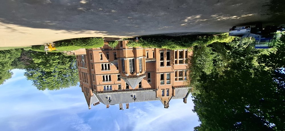
Since this walk is shady, it is great for walking in the high temperatures of this week. The first km you walk on the streets of the psychiatric center. After that, it mainly goes over unpaved paths through Provinciedomein Bulskampveld to Bulskamp Castle and "De Kruiderie" (a few picnic tables are available here).
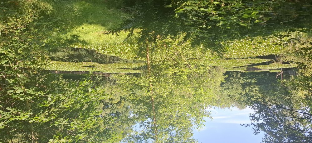
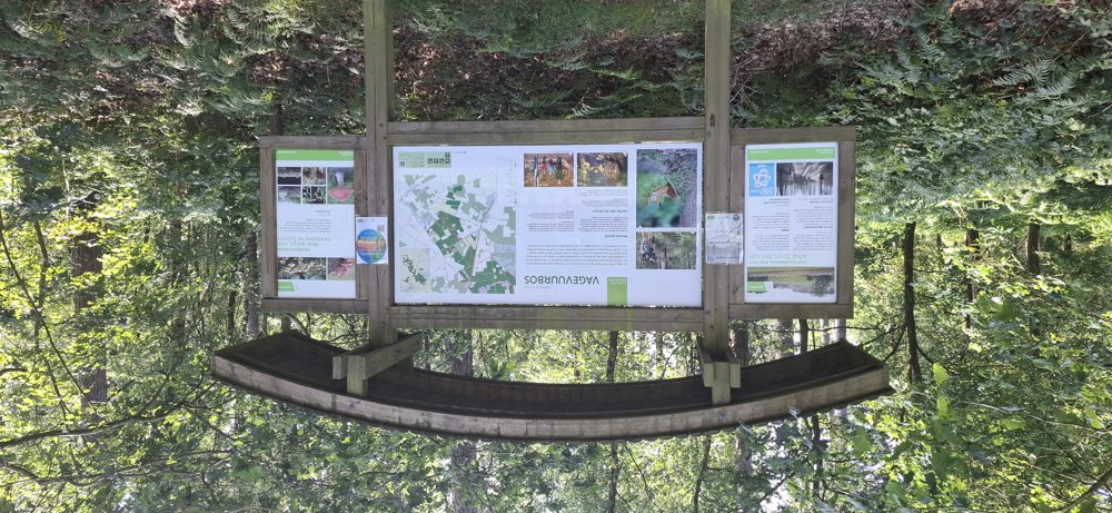
After 15 km, you reach the "Scheepsput" where the water lilies slowly start to bloom. Up to the starting point, it continues on forest paths of the Vagevuurbossen, a nice quiet walk.
Rest bench(es): 2.3/3.3/4.5/5.5/7/13.6 and 15 km.
Attractions: Bulskamp Castle, among others.
automatic translation
 nodes to follow
0 km
0 km
0.1 km
0.9 km
1.3 km
3.1 km
3.4 km
3.8 km
4.5 km
5 km
5.2 km
5.3 km
5.7 km
6 km

6.4 km
6.7 km
7 km
7.2 km
8.5 km
8.7 km
8.9 km
10 km
10.3 km
10.3 km
11.1 km
12.1 km
13.1 km
13.5 km
14.4 km
15.1 km
15.8 km
16.8 km
17 km
17.3 km
18.2 km
18.4 km
18.5 km
19.3 km

19.3 km


 Upgrade to Premium Plus
