 Hiking
 Login
Login
 More
More
 EN
EN
 Premium
Meuse Valley Walk
automatic translation
19.5 km • Maasgouw
1.5542 0 0/5

 Addresse starting point (approximate)
In 't Broek 5-7, 6107 BG Eiland-Brandt, NL
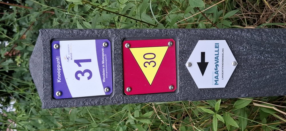
 signage
The route is partially signposted with nodes. Use a GPS device or our app to follow the route.
 Description
Walked on 15/6/2026
Parking: Spacious parking at Sportlaan in Stevensweert (NL)
Distance walked according to GPS: 19.3 km
Signposting: Junctions/GPS/Walking app.
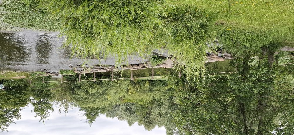
Beautiful walk through the Maas Valley. We have done several walks along the Maas before, but this one is by far the most beautiful. Very peaceful environment. Sometimes you have to go along a low-traffic street, but most of it is along the Maas and Maas lakes with their marinas. There's also a crossing over stepping stones in the water, very nicely made.
After 16.6 km we deviated from the junction network because of the massive cattle blocking our path. You can go left through the pasture and you'll naturally come onto the asphalt path and can continue to junction 71. Between junction 50 and 65 there were also cattle, but these were easy to pass.
Rest benches: 0.8/1.7/4.1/8.3/10.5/12.7/14.7 and 18.3 km.
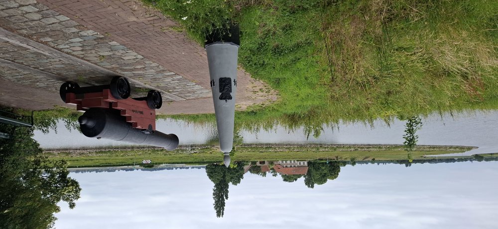
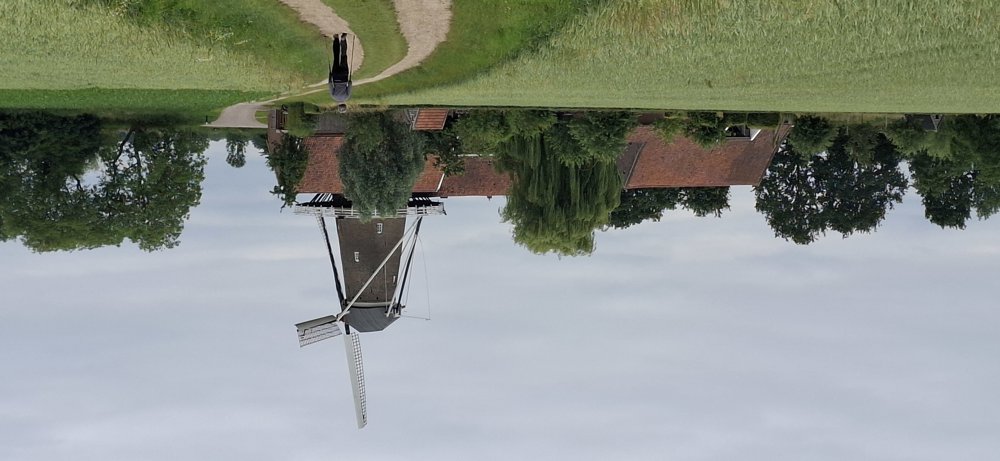
Attractions: including Cannon 'Dikke Werta', De Hompesche Mill, Marinas.
automatic translation
 nodes to follow
0 km
0.3 km
2.4 km
3 km
4 km
4.2 km
4.5 km
6.8 km

6.8 km
7.1 km
7.3 km
7.3 km
7.6 km
8 km
8.1 km
8.6 km
9.1 km
10 km
11 km
12.4 km
13.2 km
14.3 km
14.4 km
14.5 km
15.7 km
16.6 km
16.7 km
16.9 km
17.4 km
18 km
19.1 km

19.5 km


 Upgrade to Premium Plus
