 Hiking
 Login
Login
 More
More
 EN
EN
 Premium
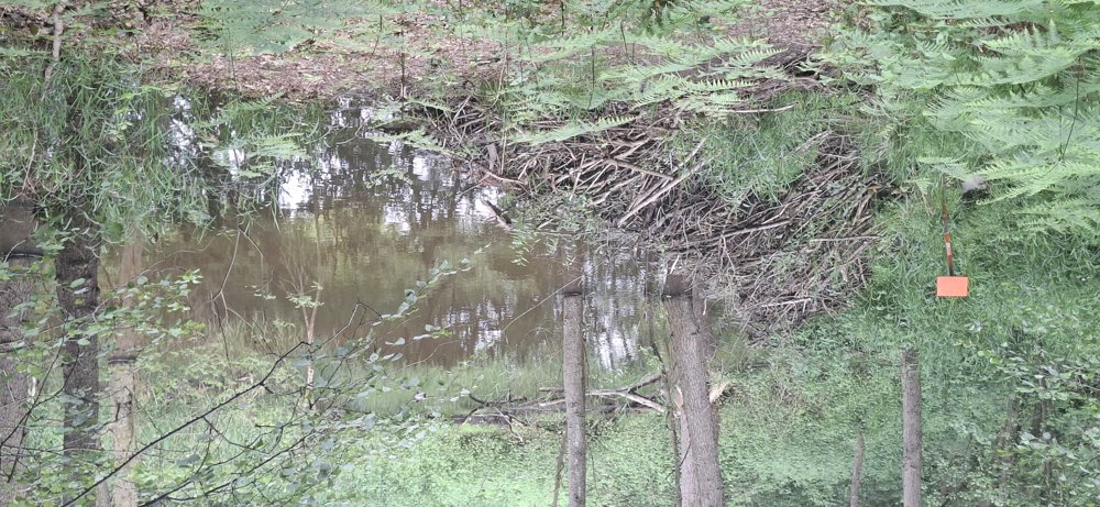
Beavers in action.
automatic translation
8.2 km • Zutendaal
2.9861 1 4/5

 Addresse starting point (approximate)
Blookbergstraat, 3690 Zutendaal, BE
 signage
The route is partially signposted with nodes. Use a GPS device or our app to follow the route.
 Description
Walked on 1/6/2026
Parking: Lieteberg Parking, Stalkerweg Zutendaal.
Distance walked according to GPS: 8 km
Signage: Junction points/GPS/Hiking App.
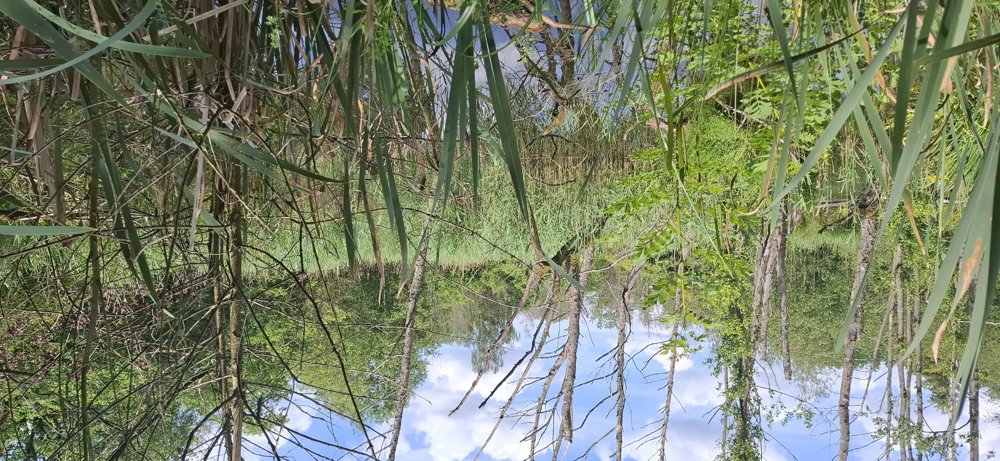
Forest walk through Hoge Kempen National Park. You walk through the Klauterbos, Bezoensberg, Stelebos, and Hesselsberg. After 4.9 km, you see a beaver's work near the Broekerbeek and between km 5.5 and 5.7 you see a beaver lodge on the left. Easily passable paths but not a flat walk.
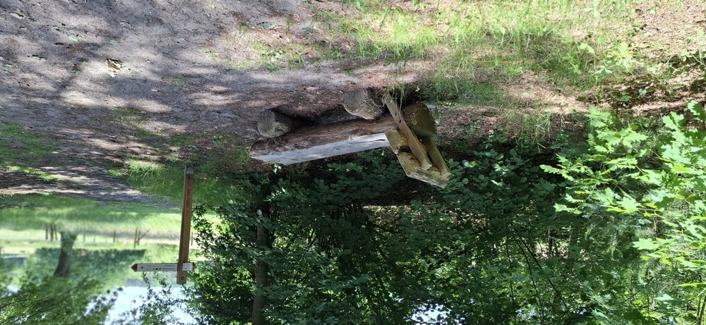
Benches: 0.5/5.7 and 7.9 km.
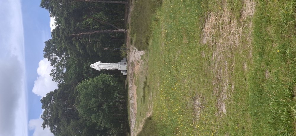
Sights: Beaver lodge / Mary statue (Hesselsberg)
automatic translation
 nodes to follow
0 km

0.2 km
0.3 km
0.8 km
1.3 km
1.9 km
2.5 km
3.2 km
3.5 km
3.8 km
4.2 km
4.7 km
5.5 km
5.8 km
6.1 km
6.6 km
6.8 km
7.3 km
7.8 km
7.9 km
7.9 km
8.1 km

8.2 km


 Upgrade to Premium Plus
