
 Hiking
 Login
Login
 More
More
 EN
EN
 Premium
Boussu-de Borinage - mines, coal and slag heaps
automatic translation
13.1 km • Boussu
3.6142 0 0/5

 Addresse starting point (approximate)
Rue Rogier 26, 7300 Mons, BE
 signage
The route is not signposted. Use a GPS device or our app to follow the route.
 Description
Departure: NMBS station Boussu - rue du Chemin de Fer 11 - Boussu (free parking)
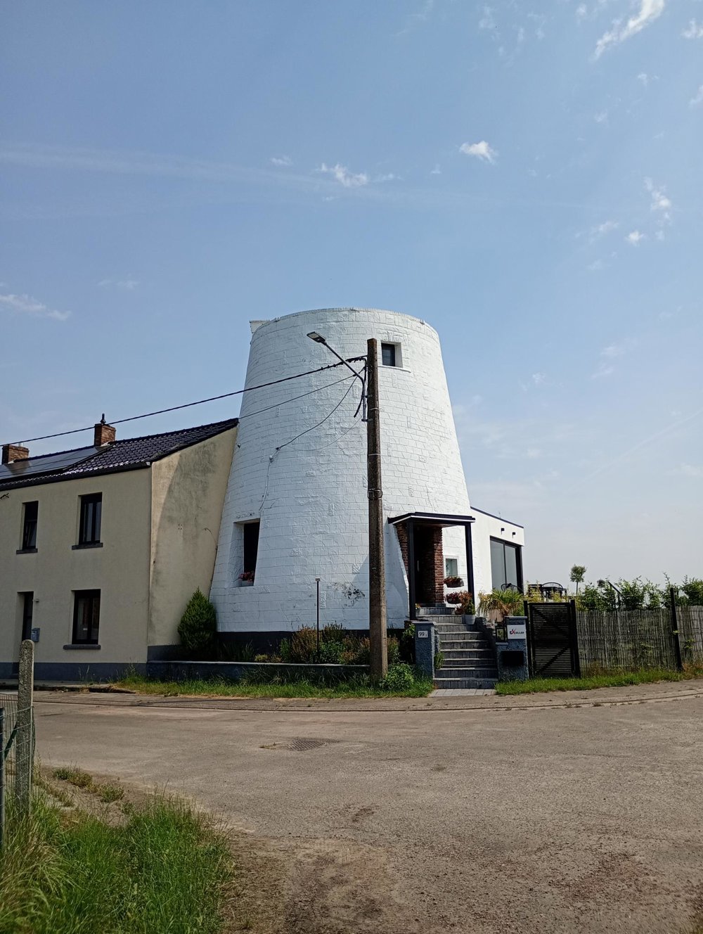
We leave the village via narrow alleys between the houses of former miners who worked in the numerous coal mines of the region in the 19th and the first half of the 20th century.
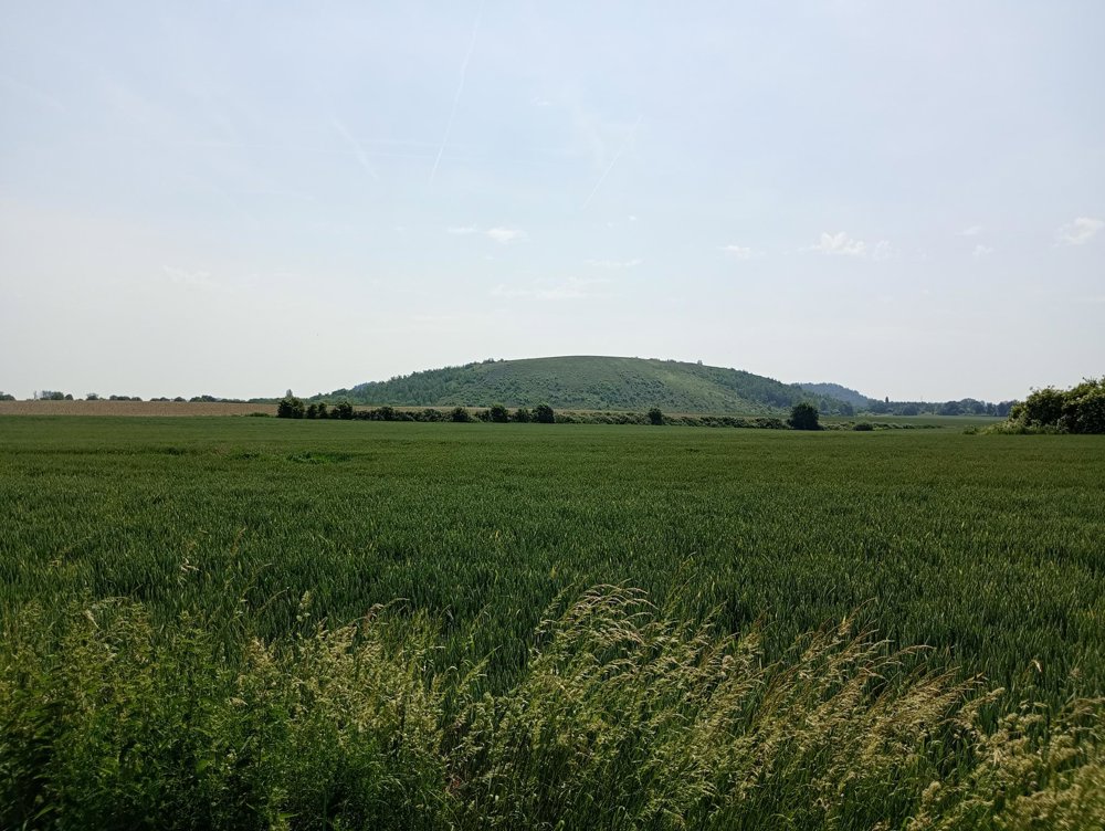
Next, we ascend to Terril du Sept, which offers a beautiful view of the surroundings. This terril is also used by a club of paragliders as a starting point for their flights.
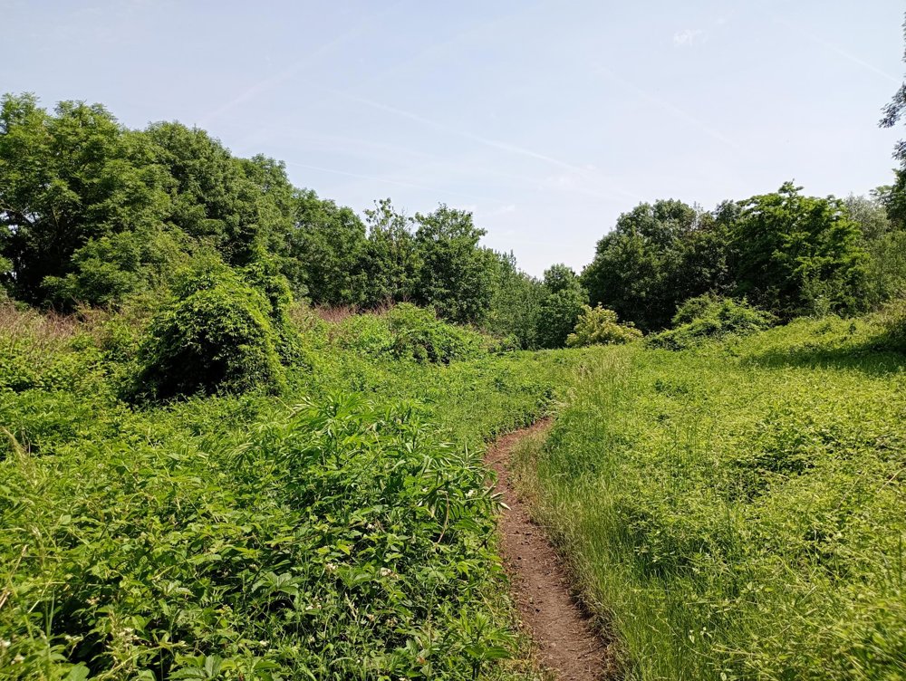
We then head to the terril of St-Antoine, along a stretch of nature unfortunately located just a few meters from a busy road. On this terril, many paths are completely overgrown, and the area is intersected by a deep trench that divides the terrain in two, making passage impossible.
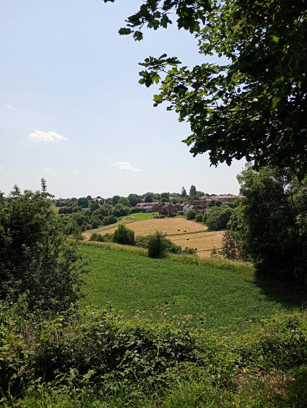
Afterwards, we return through the fields to the starting point. Walking sticks and long trousers recommended. No catering on the way, but there are 2 supermarkets.
automatic translation
 nodes to follow
0 km

0.1 km
0.4 km
0.8 km
1.4 km
2.4 km
3.7 km
4.6 km
6.2 km
7.4 km
8 km
8.7 km
9 km
9.2 km
10.1 km
10.8 km

13.1 km



 Upgrade to Premium Plus


