
 Hiking
 Login
Login
 More
More
 EN
EN
 Premium
Through the Belgian Forests
automatic translation
8.5 km • Geel
3.5932 0 0/5
8.5 km
0.0 km
0.0 km

 Addresse starting point (approximate)
Bel 18, 2440 Geel, BE
 signage
The route is not signposted. Use a GPS device or our app to follow the route.
© Jan Theunis
 Description
Hiked on 5/27/2026
Parking: Parking Bowling Den Bruul, Bel (Geel)
Distance hiked according to GPS: 8.4 km
Signposting: GPS/Hiking app.
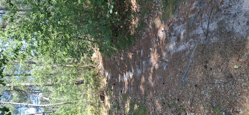
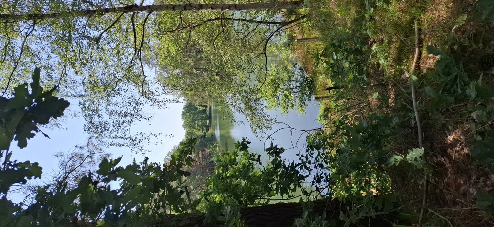
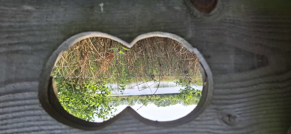
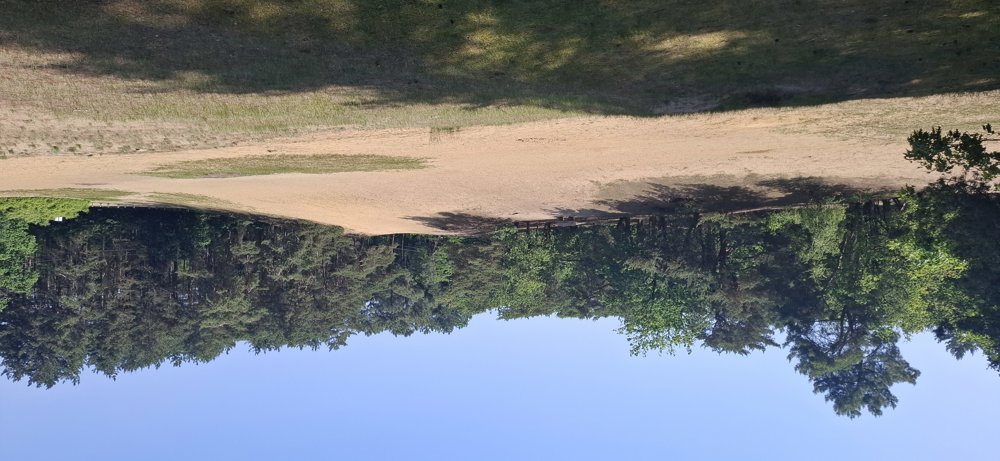
Hiking through the forests of Bel never disappoints. All paths are easily passable except for the first path just after Den Bruul; this path is somewhat overgrown, but with some effort, you can get through. You pass by the Torfven and the sand plain of the Kapucienenberg. Great hike.
Bench(es): 5.1/7 and 7.7 km.
automatic translation



 Upgrade to Premium Plus


