
 Hiking
 Login
Login
 More
More
 EN
EN
 Premium
Elzetter Forest and Vijlener Forest
automatic translation
14.9 km • Vaals
4.1847 2 4/5

 Addresse starting point (approximate)
Camerig 11b, 6294 NB Verspreide huizen Cottessen-Camerig, NL
 signage
The route is not signposted. Use a GPS device or our app to follow the route through the virtual nodes.
 Description
Walked on 28/5/2026
Parking: Parking at restaurant Buitenlust, Camerig in Vijlen (NL)
Distance walked according to GPS: 14.7 km
Signage: GPS/Hiking app.
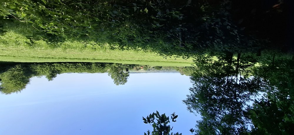
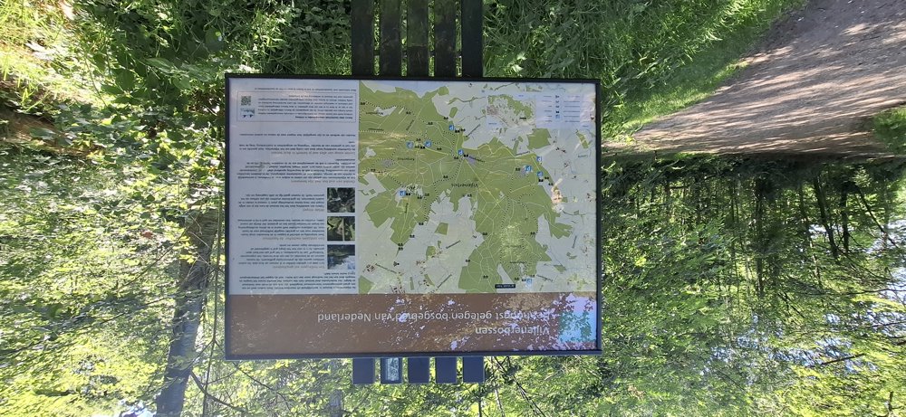
Lovers of forest walks will certainly find their thing here. First, you walk through the Elzetterbosch and after crossing the Groenenweg, you enter the Vijlenerbos. Both beautiful forests are primarily deciduous, offering a lot of shade.
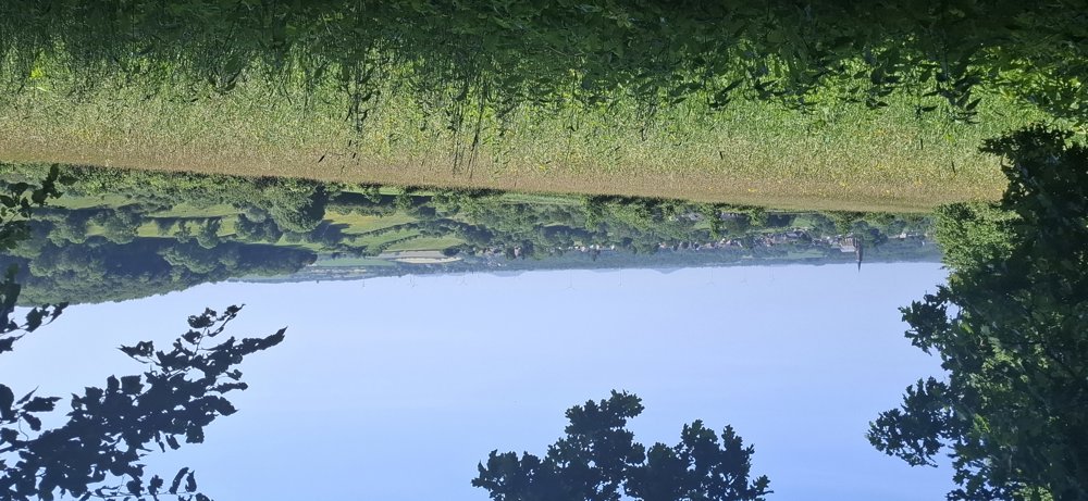
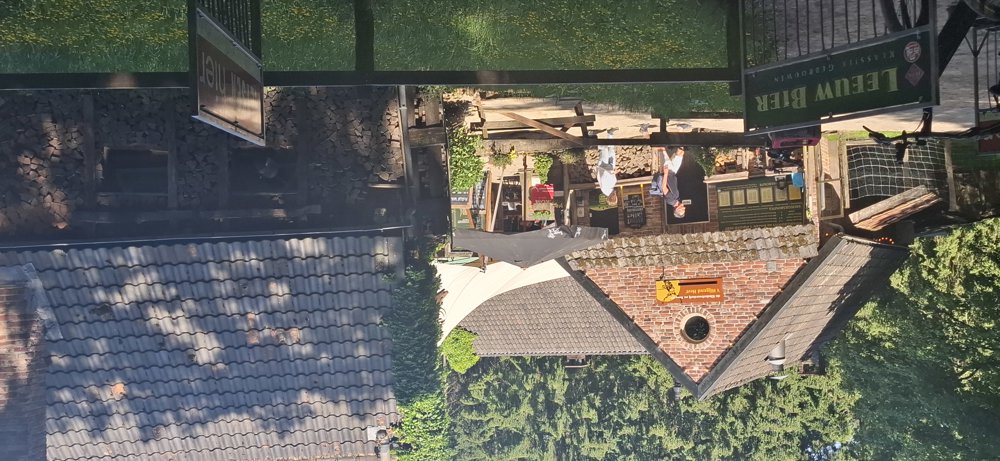
In the first part, you do 160 meters of elevation in this highest forest area in the Netherlands, but after "boscafé 't Hijgend Hert," the trail becomes flatter. Very beautiful walk, but do take into account the 270 meters of elevation.
Rest benches: 2.5/4/5.5/7.4/9.5/11.7/12.8 and 14.8 km.
Catering: 't Hijgend Hert (about halfway through the walk) / Buitenlust (departure/arrival)
automatic translation



 Upgrade to Premium Plus


