
 Hiking
 Login
Login
 More
More
 EN
EN
 Premium
Shady walk.
automatic translation
8.4 km • Halen
5.1904 2 5/5

 Addresse starting point (approximate)
Bakelstraat 18, 3545 Halen, BE
 signage
The route is not signposted. Use a GPS device or our app to follow the route.
 Description
Walked on 5/22/2026
Parking: At the end of Broekstraat, Zelem. (Parking Valley of the Zwarte Beek)
Walked distance according to GPS: 8.2 km
Signage: GPS/Walking App.
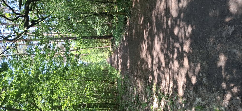
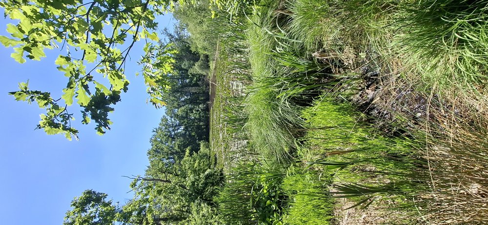
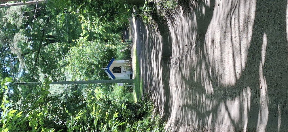
With the forecast of summery temperatures for the coming days, this is the ideal walk. Lots of shade on this walk through the woods of the Galgenberg. It is not a flat walk; the first uphill is the toughest at 24 m up. Subsequently, wavy and flat sections alternate with a marshy part where the frogs noisily croak in the beautiful natural pond. Definitely worth taking this walk.
Bench(es): including at 1.5, 3.1, and 4.5 km.
automatic translation
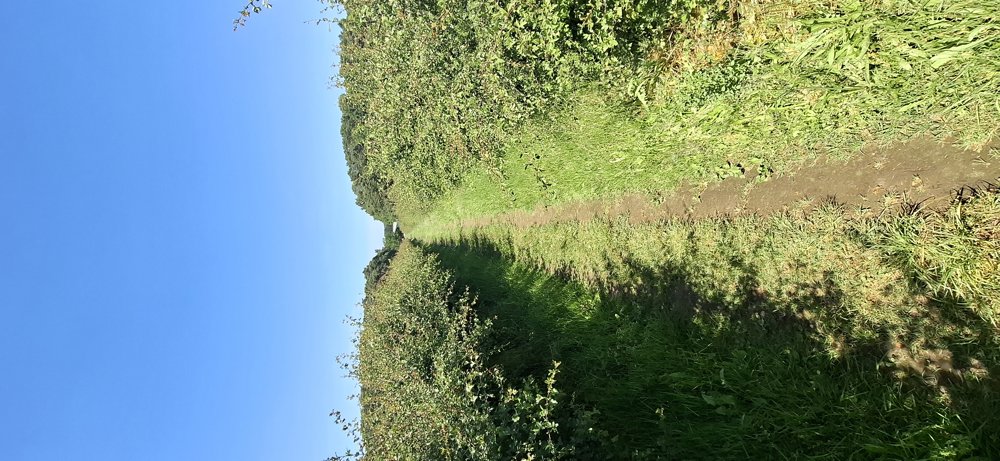
Sunday, May 31, 2026 by Kris DehamersA pleasant walk through Natuurpunt’s largest nature reserve. Shady forest trails, hedge paths, forest edges, and ponds. Mostly unpaved. A varied and enjoyable walk. Small parking lot at the start.
automatic translation
Monday, May 25, 2026 by J.N.Hi, I didn't realize it was a different ozoeoeozozozoz
automatic translation
Tuesday, May 26, 2026 by Jan Theunis?????? gibberish :-)
automatic translation



 Upgrade to Premium Plus


