
 Hiking
 Login
Login
 More
More
 EN
EN
 Premium
Nature Reserve 'The High Ponds'
automatic translation
18.4 km • Arendonk
1.8282 0 0/5

 Addresse starting point (approximate)
Mierdseweg 12, 2370 Arendonk, BE
 signage
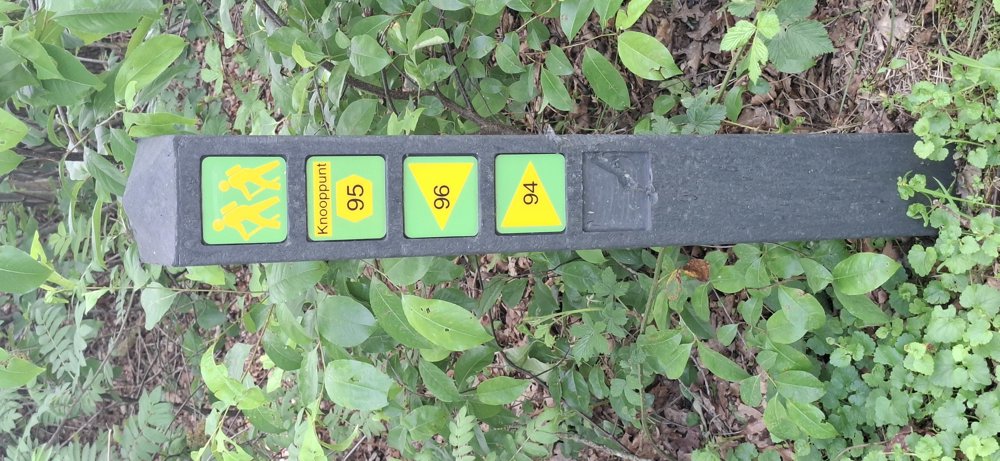
The route is fully signposted with nodes.
 Description
Walked on 21/5/2026
Parking: Mierdseweg Arendonk, Parking Hoge Vijvers.
Distance walked according to GPS: 18.2 km
Signposting: Junction points/GPS/Walking App.
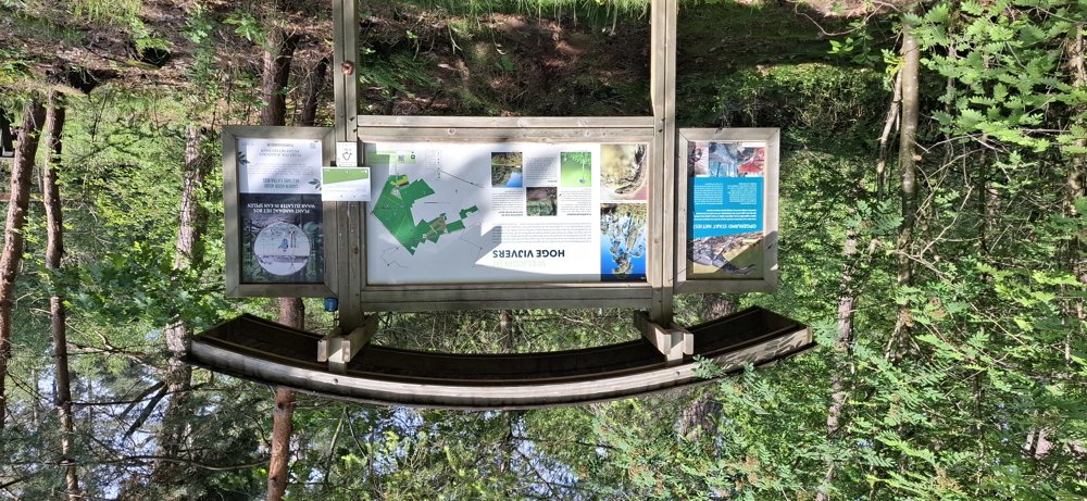
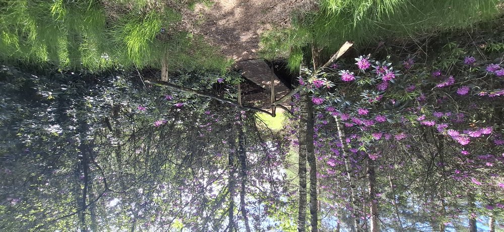
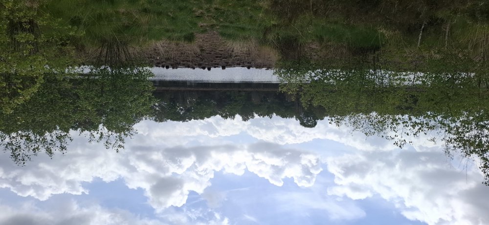
The common thread through this walk is the silence; you only hear your own footsteps and the birds chirping. Very beautiful walk through the forests of the 'Hoge Vijvers' nature area and along the 'Zwartven'. Definitely recommended.
The entire walk can be followed via junction points, with the exception of the 200 m section where we go directly from knp94 to knp97 to avoid doing the section between knp93 and 90 twice.
Part of the route goes through the Netherlands; follow the yellow triangle on a green background.
Rest bench(es): among others at 2/ 6.1/8.6 /10.4 and 11.2 km.
Catering: De Wouwershoeve (6.5 km)
automatic translation
 nodes to follow
0 km
0.1 km
1.9 km
2.5 km
4.6 km
4.9 km
7.7 km
9.9 km
10.4 km
10.4 km
10.8 km
12.2 km
13.1 km
13.4 km

14.8 km
15.1 km
16.6 km
17.1 km
18.4 km



 Upgrade to Premium Plus


