Loading...

Culture and Nature Walk

automatic translation

11.8 km • Diest

1.1750 0 0/5

11.8 km 0.0 km 0.0 km

route offered by

Jan Theunis

Icon starting point Addresse starting point (approximate)

Pesthuizenstraat 2, 3290 Diest, BE

Icon type signage of route signage

The route is partially signposted with nodes. Use a GPS device or our app to follow the route.
5m 5m 5m 5m
Atmosphere image 1 of route Culture and Nature Walk Atmosphere image 2 of route Culture and Nature Walk Atmosphere image 3 of route Culture and Nature Walk
© Jan Theunis

Icon description route Description

Hiked on 16/5/2026

Parking: Parking Halve Maan Diest, Omer Vanaudenhovelaan.

Distance hiked according to GPS: 11.9 km

Signage: GPS/Hiking App.

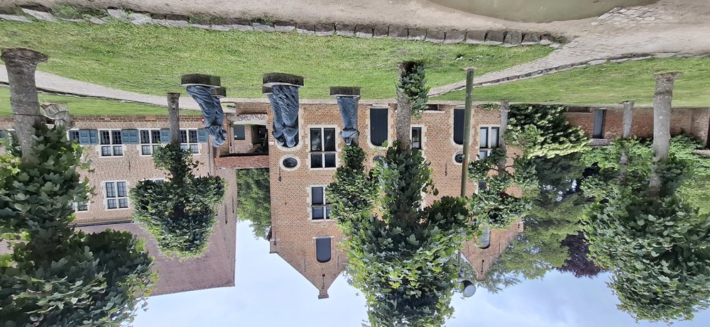
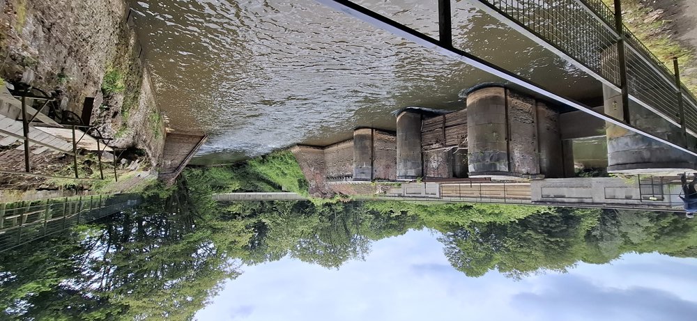
Up to km 4, you go through Diest. You cross the new Saspoortbrug to the beautiful Beguinage with the St. Catherine's Church, the city park ‘De Warande’, the center with the impressive St. Sulpitius and Dionysius Church, and Park Cerckel across the Demer to the station, where you can safely cross the tracks via the railway bridge.

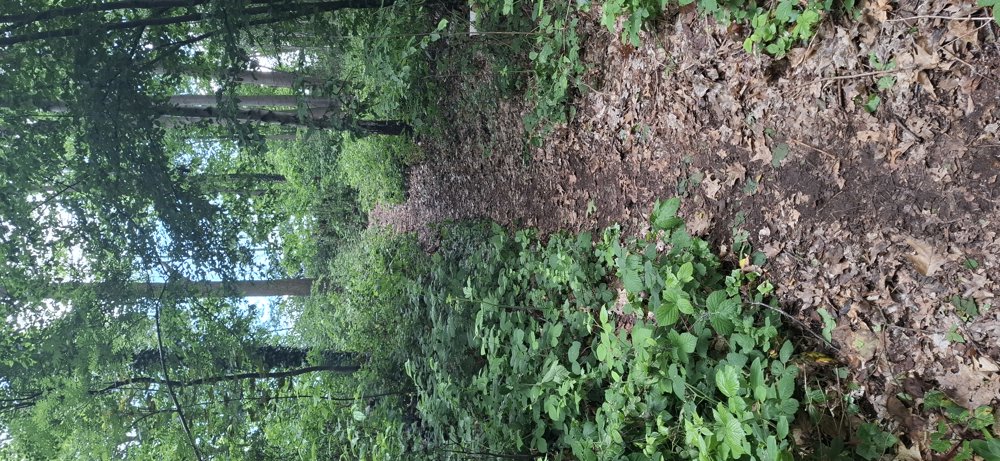
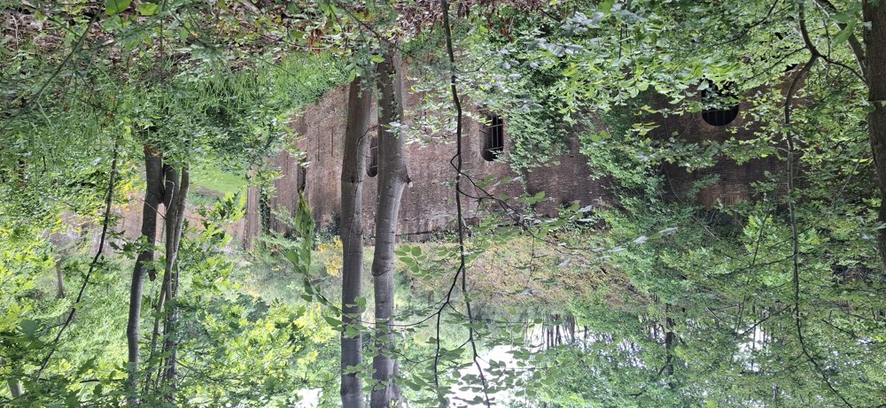
Once over the R26, you travel along quiet roads and forest paths towards Schaffen airfield. You pass the well-hidden Fort Leopold. A bit later, you need to cross the R26 for the third time and head via Jan Heylen park to the Webbekomsbroek visitor center, where a stork has currently made its nest.

This walk offers both culture and nature, definitely worth hiking.

Rest bench(es): among others at 1.4/2.4/3.5/10.1 and 11.5 km.

Attractions: Beguinage / Fort Leopold.

Catering: Diest Center.

automatic translation

Icon nodes to follow nodes to follow

Icon start route
0 km
Icon deviation route
0.2 km
Icon deviation route
0.4 km
Icon deviation route
0.6 km
Icon deviation route
0.7 km
Icon deviation route
0.8 km
Icon deviation route
0.8 km
Icon deviation route
0.9 km
Icon deviation route
1 km
Icon deviation route
1.1 km
Icon deviation route
1.2 km
Icon deviation route
1.4 km
Icon deviation route
1.4 km
Icon deviation route
1.5 km
Icon deviation route
1.7 km
Icon deviation route
1.8 km
Icon deviation route
1.9 km
Icon deviation route
2.1 km
Icon deviation route
2.3 km
Icon deviation route
2.4 km
Icon deviation route
2.5 km
Image node TP
2.9 km
Icon deviation route
3.2 km
Icon deviation route
3.3 km
Icon deviation route
3.4 km
Icon deviation route
3.5 km
Icon deviation route
3.8 km
Icon deviation route
3.9 km
Icon deviation route
3.9 km
Image node 373
4 km
Image node 284
4.3 km
Image node 282
5.4 km
Image node TP
6.1 km
Icon deviation route
6.2 km
Icon deviation route
6.4 km
Icon deviation route
6.7 km
Icon deviation route
6.9 km
Icon deviation route
7.4 km
Icon deviation route
8 km
Icon deviation route
8.5 km
Icon deviation route
8.9 km
Icon deviation route
9.1 km
Icon deviation route
9.4 km
Icon deviation route
9.6 km
Icon deviation route
9.8 km
Icon deviation route
10 km
Icon deviation route
10.1 km
Icon deviation route
10.4 km
Icon deviation route
10.6 km
Icon deviation route
11 km
Icon deviation route
11.2 km
Icon deviation route
11.4 km
Icon deviation route
11.4 km
Icon deviation route
11.6 km
Icon deviation route
11.7 km
Icon stop route
11.8 km
This route does not have any reviews yet. Be the first!
Rate route!

Which POI do you want to show on the map?

Experimental hiking network
Unsigned icon

The route you have chosen runs (partly) along an experimental virtual hiking node network (the blue-coloured nodes and sections on the map).

You must be logged in to plan routes here.

Experimental hiking network
Unsigned icon

The route you have chosen runs (partly) along an experimental virtual hiking node network (the blue-coloured nodes and sections on the map).

These routes are not controlled in the field. Before you start hiking here, take a minute to read what an experimental hiking node network is and what rules you should follow when hiking here.