
 Hiking
 Login
Login
 More
More
 EN
EN
 Premium
Provincial Green Domain Hertberg
automatic translation
9 km • Herselt
3.3650 0 0/5

 Addresse starting point (approximate)
Hertbergweg 26, 2230 Herselt, BE
 signage
The route is partially signposted with nodes. Use a GPS device or our app to follow the route.
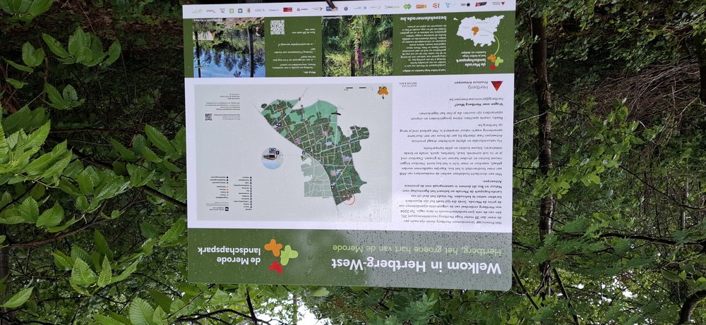
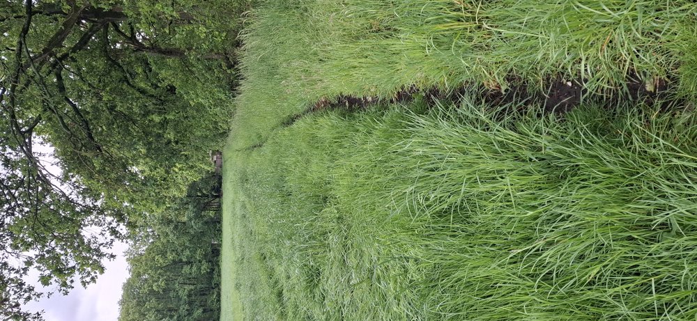
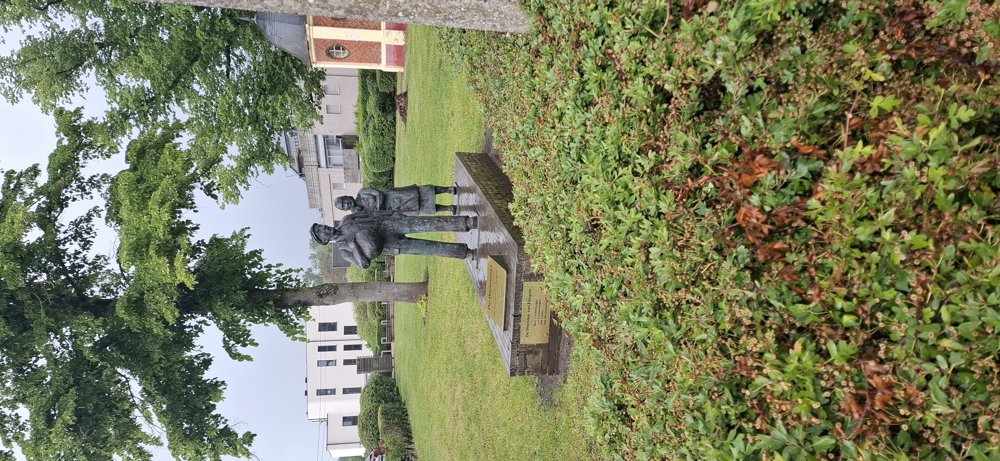
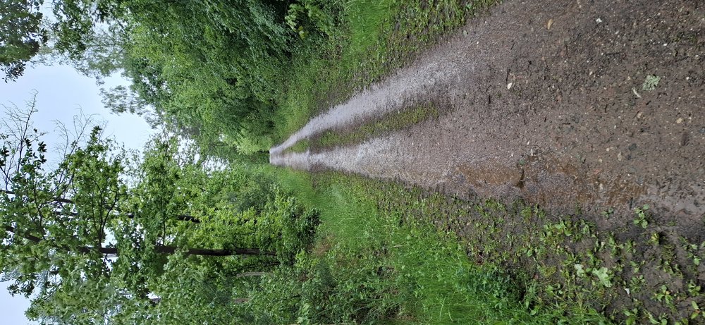
 Description
Walked on 14/5/2026
Parking: North Parking at Diestsebaan Herselt (coordinates 51.068462, 4.920152)
Distance walked according to GPS: 9 km
Signposting: Junction points/GPS/Walking app.
From the parking lot, you go through the forests of Provincial Domain Hertberg to Bergom. Only the section from junction 106 to the chapel is not marked with nodes, the rest of the route can be followed via the junction points. A beautiful walk through quiet nature with lots of forests. After passing through Bergom, you head back into the forest until you reach the parking lot.
Rest benches: e.g., at 5.2 km/7 km and 8.4 km.
Attractions: Little Chapel of the Marshal.
automatic translation
 nodes to follow
0 km
0.3 km
0.6 km
0.7 km
1.7 km
2.1 km
2.9 km
3.6 km
5.1 km
5.2 km

5.9 km
6 km
6.4 km
7 km
7.8 km
7.9 km
8.5 km
8.8 km

8.9 km



 Upgrade to Premium Plus


