 Hiking
 Login
Login
 More
More
 EN
EN
 Premium
Through the forests of Koersels Kapelleke.
automatic translation
7.4 km • Beringen
2.6322 0 0/5
7.4 km
0.0 km
0.0 km

 Addresse starting point (approximate)
Leemstraat 47, 3582 Beringen, BE
 signage
The route is not signposted. Use a GPS device or our app to follow the route.
© Jan Theunis
 Description
Walked on 5/11/2026
Parking: Parking at the dog off-leash area Leemstraat Koersel (near the small chapel).
Distance walked according to GPS: 7.42 km
Signage: GPS/Hiking App.
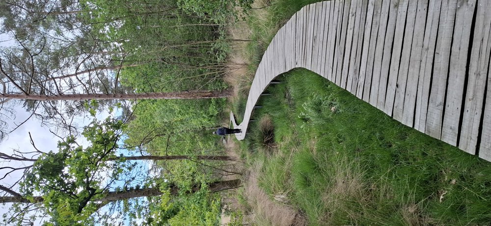
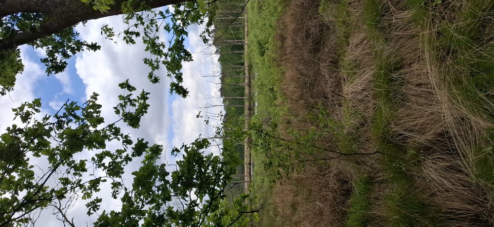
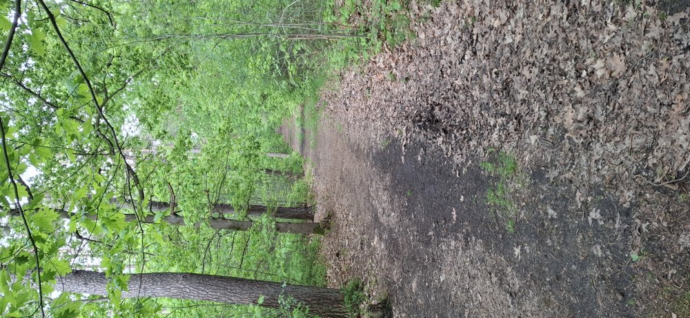
Beautiful forest walk where you walk on both narrow and wide paths. All forest paths are very passable and there is a lot of shade during this walk (80%), so it's excellent on a hot day.
Rest bench(es): e.g., at 6.4 km.
automatic translation


 Upgrade to Premium Plus
