 Hiking
 Login
Login
 More
More
 EN
EN
 Premium
View of the Alden Biesen Commandery
automatic translation
9.1 km • Bilzen-Hoeselt
1.9390 0 0/5

 Addresse starting point (approximate)
Souwveld 11, 3740 Hoeselt, BE
 signage
The route is not signposted. Use a GPS device or our app to follow the route through the virtual nodes.
 Description
Walked on 5/10/2026
Parking: PC Rijkhoven Souwveld in Rijkhoven (Bilzen).
Walked distance according to GPS: 9.2 km
Signposting: GPS/Walking App.
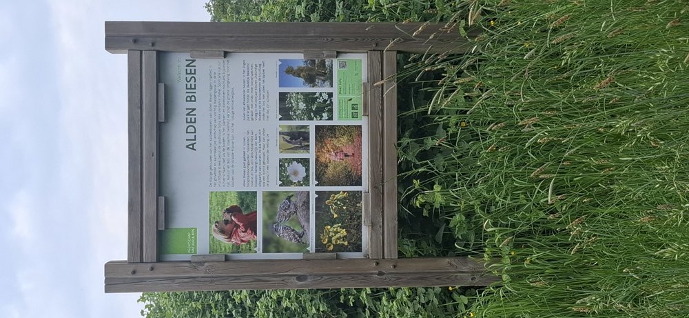
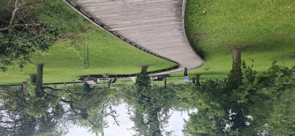
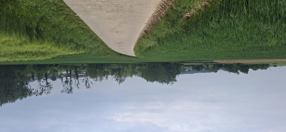
The junctions on the map are virtual and therefore not visible. This walk mainly goes through open areas, giving you beautiful views. Only in the beautiful nature reserve “De Molenbeemd” do you walk through a green strip with trees, and after a rain shower, it can get quite muddy here. For enthusiasts, with a small detour, you can admire the “Landcommanderij Alden Biesen”. Very quiet walk with alternating unpaved and paved sections. The walk is undulating, so there's some light climbing here and there.
Rest bench(es): among others at 1.1/1.9/5.5 and 8.1 km.
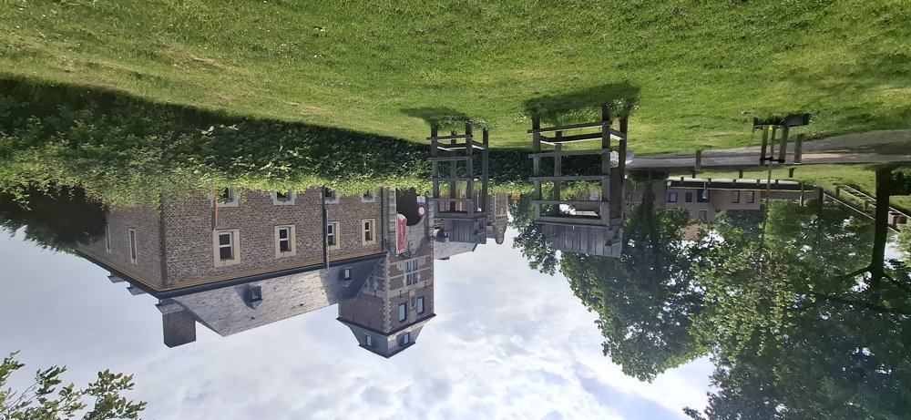
Attractions: Landcommanderij Alden Biesen, Apostle House (node142)
automatic translation
 nodes to follow
0 km

0.1 km
0.2 km
0.6 km
0.8 km
1 km
1.1 km
1.3 km
1.5 km
2.2 km
2.4 km
2.8 km
3 km
3.9 km
4.7 km
7.1 km
7.2 km
8.3 km
8.6 km

9.1 km


 Upgrade to Premium Plus
