 Hiking
 Login
Login
 More
More
 EN
EN
 Premium
Forest Walk in Hoge Kempen National Park
automatic translation
8.6 km • Lanaken
2.1991 0 0/5
8.6 km
0.0 km
0.0 km

 Addresse starting point (approximate)
Pannestraat 285, 3620 Lanaken, BE
 signage
The route is not signposted. Use a GPS device or our app to follow the route through the virtual nodes.
© Jan Theunis
 Description
Walked on 5/9/2026
Parking: At the end of Pannestraat in Lanaken.
Walked distance according to GPS: 8.6 km
Signage: GPS/Walking app.
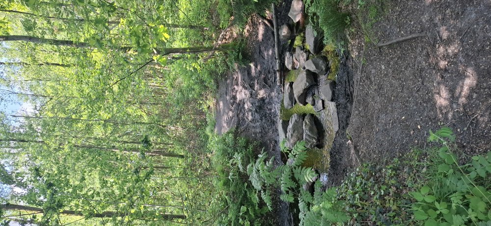
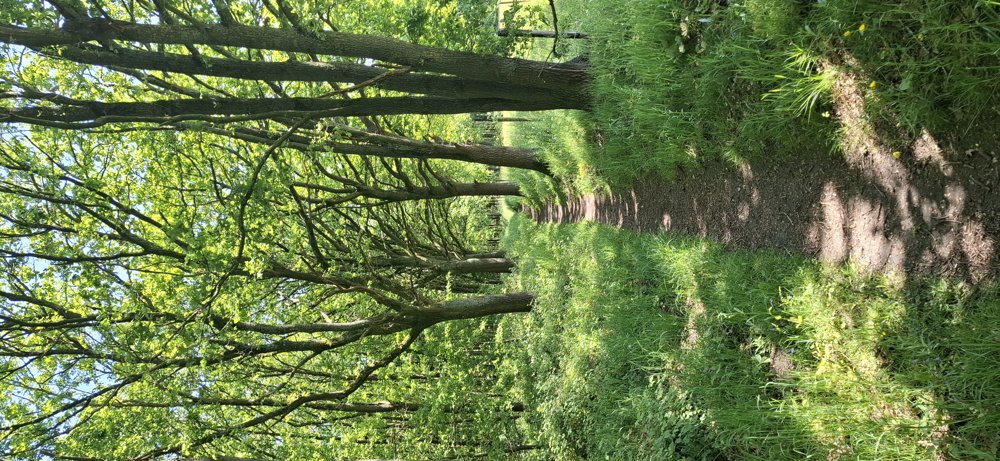
Virtual points not marked with signs. Nice forest walk in the Hoge Kempen National Park. If you're looking to cool down on a sunny day, this is a good walk.
Bench(es): at, among others, 2.3/5.4 and 7.2 km.
Catering: Café Touché (near Sparrendal sports hall).
automatic translation
 nodes to follow
0 km

0.1 km
1.1 km
1.7 km
2.6 km
5 km
5.8 km
6.4 km
7.3 km
8.2 km

8.6 km


 Upgrade to Premium Plus
