 Hiking
 Login
Login
 More
More
 EN
EN
 Premium
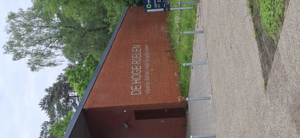
The Hoge Rielen and Valley of the Little Kaliebeek.
automatic translation
15 km • Kasterlee
2.7790 0 0/5

 Addresse starting point (approximate)
Molenstraat 62B, 2460 Kasterlee, BE
 signage
The route is partially signposted with nodes. Use a GPS device or our app to follow the route.
 Description
Walked on 8/5/2026
Parking: Parking 'De Hoge Rielen' at the corner of Kaliebaan/Hoge Rielen in Kasterlee.
Distance walked according to GPS: 15 km Signage: Route points/GPS/Walking App.
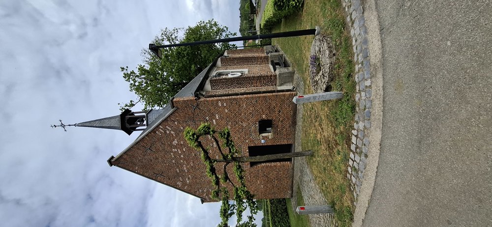
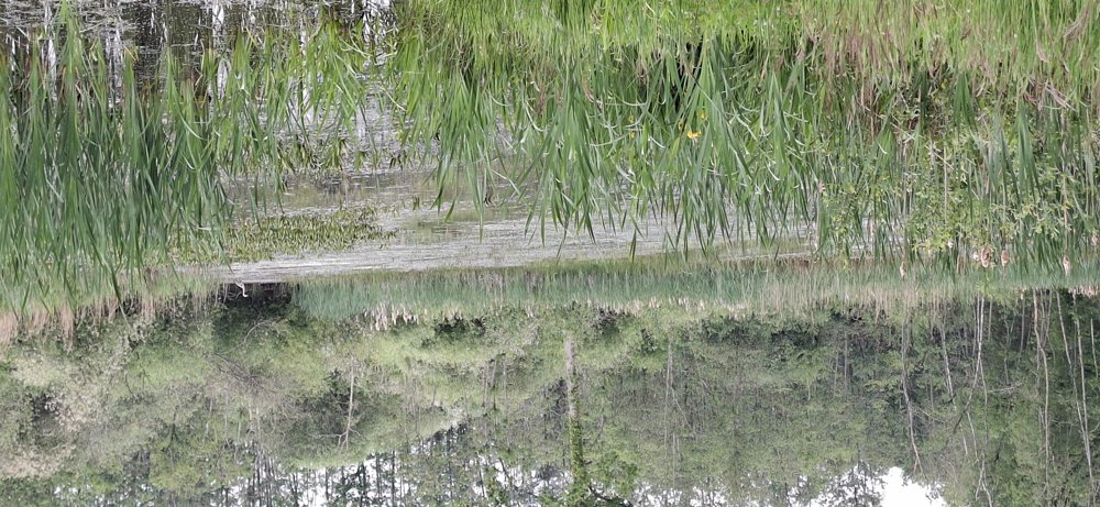
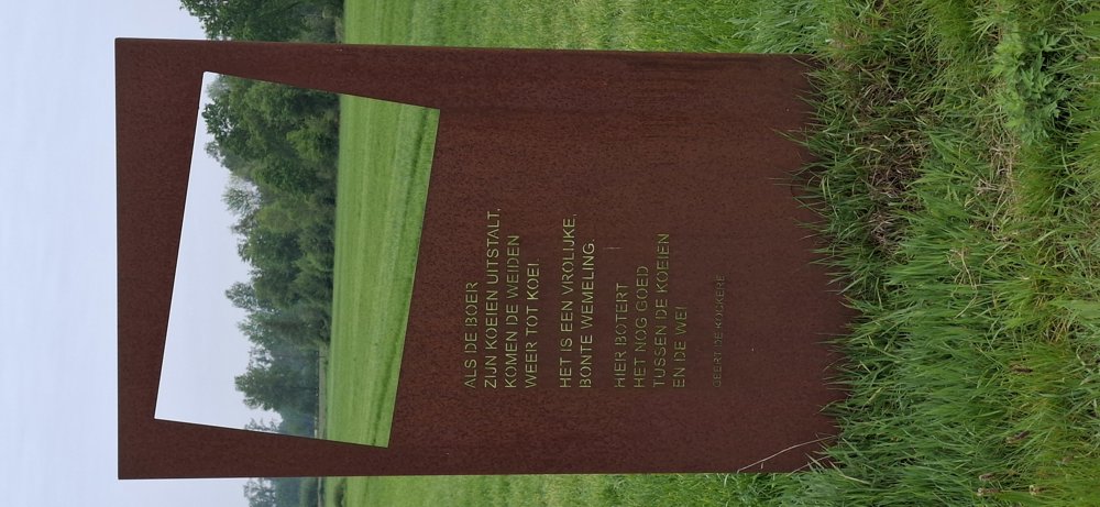
In the first part of the walk, it alternates between paved and unpaved paths, and you walk through the village center of Tielen. Up to node 46 you can follow the route points. At the football fields, we go through a nice little forest, because if you continue to follow the route points, it is always on roads. After the little forest, you have to walk 1.1 km more on a quiet concrete road. From node 8 follows a very beautiful 7 km stretch through nature (valley of the little Kaliebeek), along ponds, through the woods, and alongside fields and meadows. From node 8 you can follow the route points back to the parking lot.
Rest bench(es): including at 2.3/3.4/4.7/6.3 (dog club)/8.4/10.1 and 14.7 km.
Catering: Tielen Center
automatic translation
 nodes to follow
0 km
0.5 km
1.2 km
1.9 km
2 km
2.5 km
2.9 km
3.5 km
4.6 km

4.7 km
5 km
5.6 km
5.8 km
6.1 km
6.4 km
7.7 km
8.3 km
8.9 km
9.2 km
10.6 km
11.3 km
12 km
12.4 km
14 km
14.4 km
14.6 km
14.8 km
15 km


 Upgrade to Premium Plus
