 Hiking
 Login
Login
 More
More
 EN
EN
 Premium
Herentals-Poederlee-Herentals
automatic translation
18.7 km • Herentals
3.4945 0 0/5
18.7 km
0.0 km
0.0 km

 Addresse starting point (approximate)
Vorselaarsebaan 58A, 2200 Herentals, BE
 signage
The route is not signposted. Use a GPS device or our app to follow the route.
© Jan Theunis
 Description
Walked on 5/1/2026
Parking: Vorselaarsebaan Herentals.
Walked distance according to GPS: 18.7 km
Signage: GPS/Walking App.
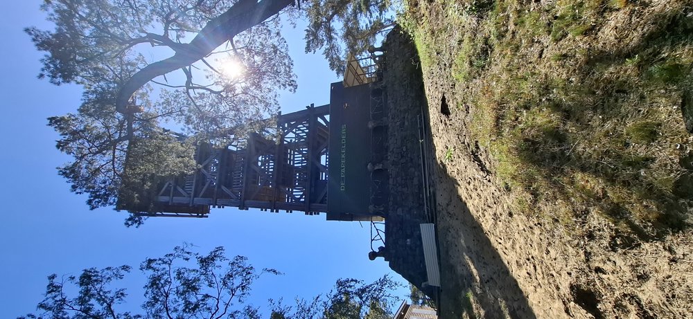
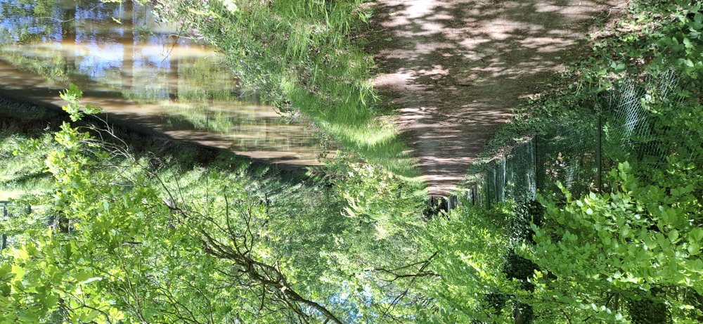
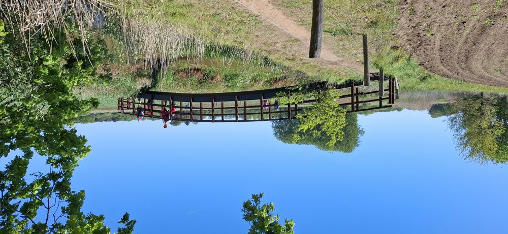
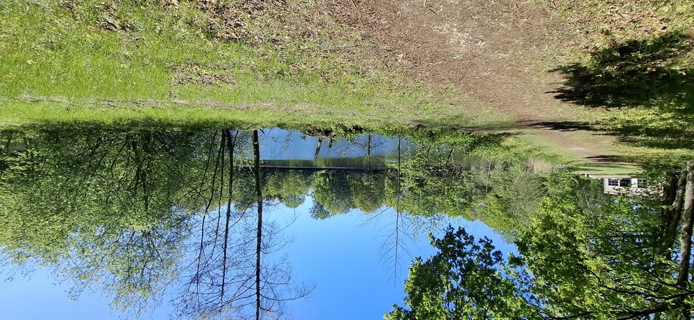
Beautiful walk with 75% unpaved paths. You start through the forest towards the Tourist Tower, the highest point of Herentals. It is a varied walk along fields, meadows and through many forests and a segment along the Nete.
Benches: including at 1.3 / 2.9 / 5.2 / 6.5 / 14.4 and 17.9 km.
Catering: Center Poederlee
Attractions: The Tourist Tower / Hegge Chapel.
automatic translation


 Upgrade to Premium Plus
