 Hiking
 Login
Login
 More
More
 EN
EN
 Premium
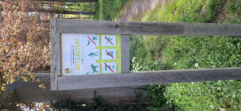
Laambroeken and Valley of the Mangelbeek
automatic translation
7.6 km • Heusden-Zolder
1.1402 0 0/5

 Addresse starting point (approximate)
Meylandtlaan 20, 3550 Zolder, BE
 signage
The route is not signposted. Use a GPS device or our app to follow the route.
 Description
Walked on 4/27/2026
Parking: Meylandt Castle, Meylandtlaan 20 Heusden-Zolder.
Distance walked according to GPS: 7.68 km
Signage: GPS/walking app.
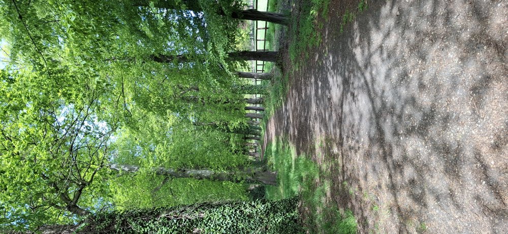
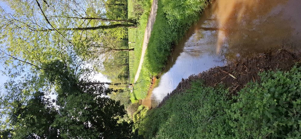
The walk goes from the castle to the nature areas of Laambroeken and the Mangelbeek Valley. In the nature areas, there are beautiful paths, but the connections between them go along streets with little traffic. Only the section along Biesstraat is somewhat busier, but you can walk safely on the cycle path.
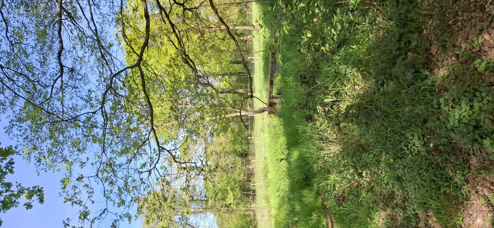
Bench(es): for example at 3.9/5.4/7.6 km.
Food and drink: De Blokhut (at the fishing pond of Meylandt Castle).
Sightseeing: Meylandt Castle.
automatic translation
 nodes to follow
0 km

0.8 km
1.4 km
2.1 km
2.9 km
3.3 km
4.5 km
5.1 km
6.4 km
6.7 km
7.2 km
7.6 km


 Upgrade to Premium Plus
