 Hiking
 Login
Login
 More
More
 EN
EN
 Premium
Trappist Walking Route Achel (+)
automatic translation
14.8 km • Heeze-Leende
2.6103 1 4/5

 Addresse starting point (approximate)
Petrus van Eijnattenlaan, 5556 VE Verspreide huizen Groote Heide, NL
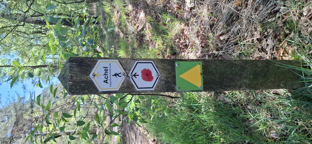
 signage
The route is partially signposted with thematic signs (no nodes). Use a GPS device or our app to follow the route.

 Description
Walked on 23/4/2026
Parking: Parking "Natuurpoort Leenderbos" Petrus Van Eijnattenlaan (Achelse Kluis).
Walked distance according to GPS: 14.6 km
Signage: GPS/Walking App.
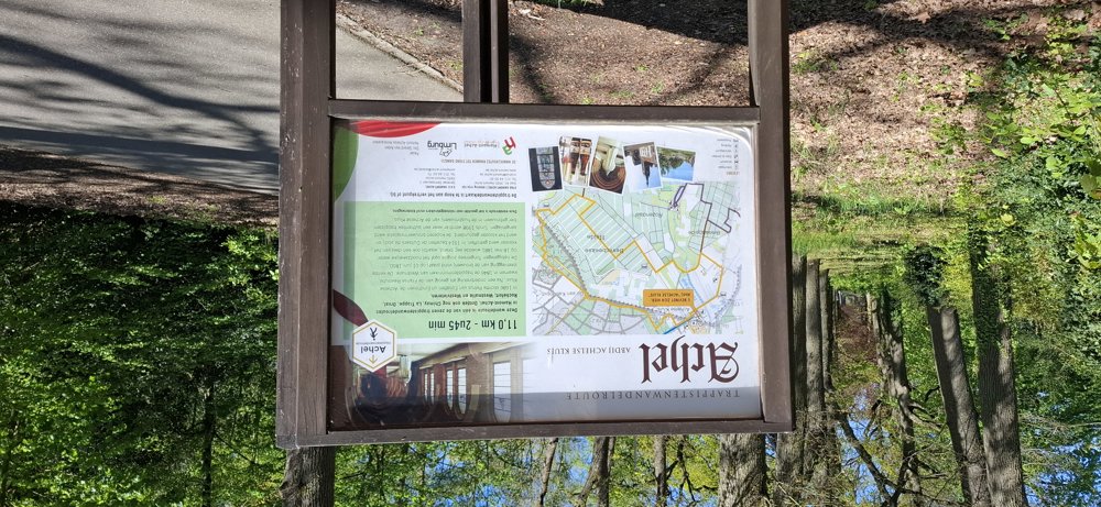
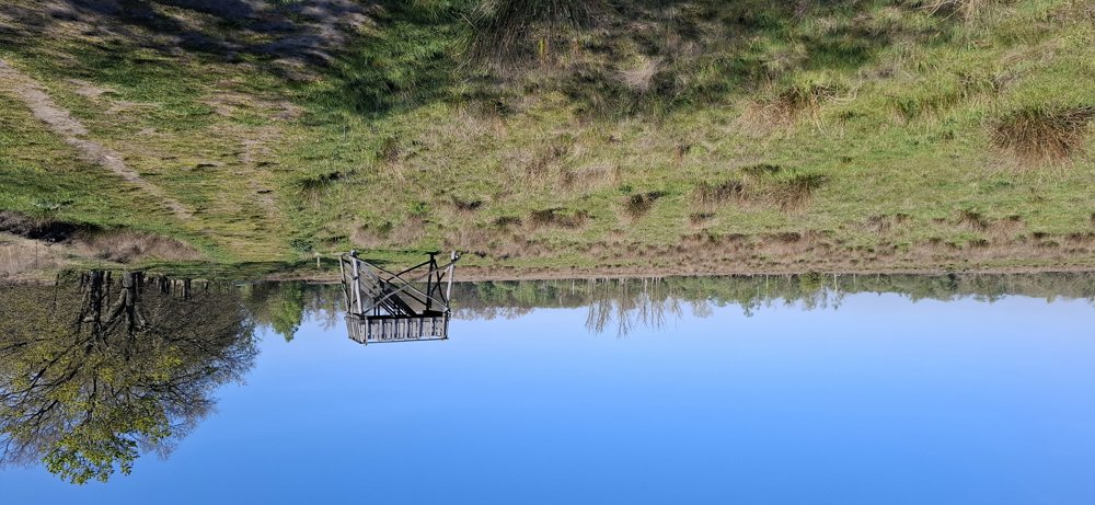
Initially, we wanted to walk the 'Trappistenwandelroute Achel', but due to the nice weather, we added a few kilometers. If you just want to walk the 'Trappistenwandelroute Achel', follow the hexagonal signs (11 km). The signage is excellent. If you follow our extended route, you will walk through a meadow where cattle (sometimes) graze, 1 km long, and through heath and fen areas.
After 6 km, you connect to the Trappist route and can follow the signs. You also pass by “De Doodendraad”, a piece of war history. The last 1.5 km goes over asphalt and you pass by the Achelse Kluis. Beautiful walk: first part open with meadow and heath, second part lots of forest.
Bench(es): among others at 1.6/3.9/8.1/9.9/11.7 and 13.9 km.
Sights: Doodendraad/Achelse Kluis.
Hospitality: Achelse Kluis.
automatic translation


 Upgrade to Premium Plus
