 Hiking
 Login
Login
 More
More
 EN
EN
 Premium
Moorkensberg Hoge Kempen National Park
automatic translation
8.4 km • Oudsbergen
1.8051 0 0/5

 Addresse starting point (approximate)
Weg Naar Zwartberg 469, 3660 Opglabbeek, BE
 signage
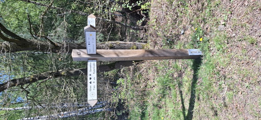
The route is not signposted. Use a GPS device or our app to follow the route through the virtual nodes.
 Description
Walked on 22/4/2026
Parking: Moorkensberg Parking, along the Road to Zwartberg, Genk.
Walked distance according to GPS: 8.4 km.
Signage: GPS/Walking App.
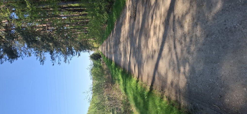
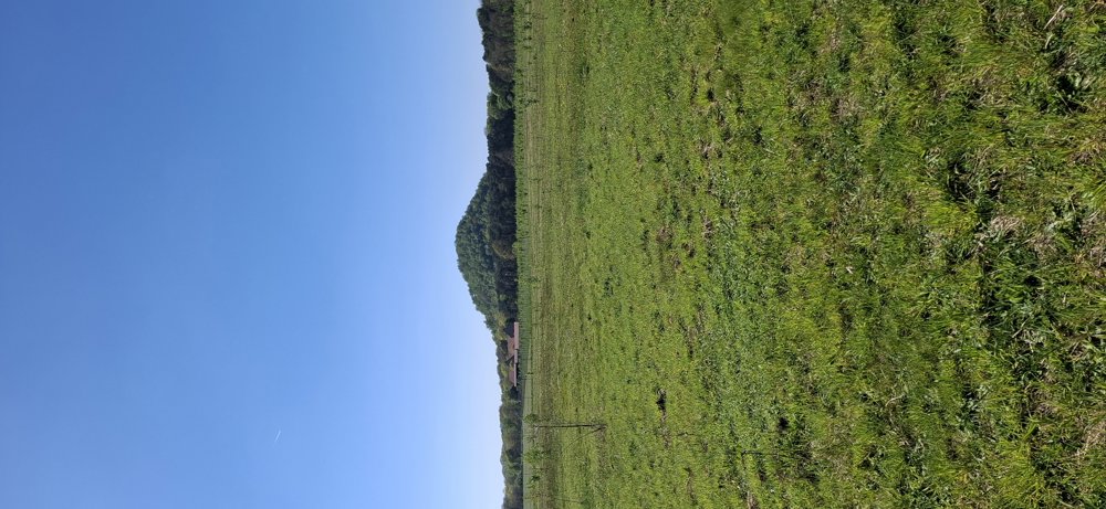
Virtual junctions, so no signs. You start towards the bike path, but once you leave it, you go through the forests of Klaverberg Nature Reserve and Hoge Kempen National Park. Nice walk that at the end still goes over the Moorsberg. Do not be put off by this mountain, it is just a molehill high.
Benches: among others at 3.7 and 6.3 km.
automatic translation
 nodes to follow
0 km

0.7 km
1.5 km
2.1 km
2.5 km
3.5 km
4.5 km
6.3 km
6.7 km
7.2 km
7.7 km
7.9 km
8.1 km

8.4 km


 Upgrade to Premium Plus
