 Hiking
 Login
Login
 More
More
 EN
EN
 Premium
Red triangle "Valley of the Black Creek".
automatic translation
6.9 km • Beringen
5.1994 0 0/5

 Addresse starting point (approximate)
Grauwe Steenstraat 7, 3582 Beringen, BE
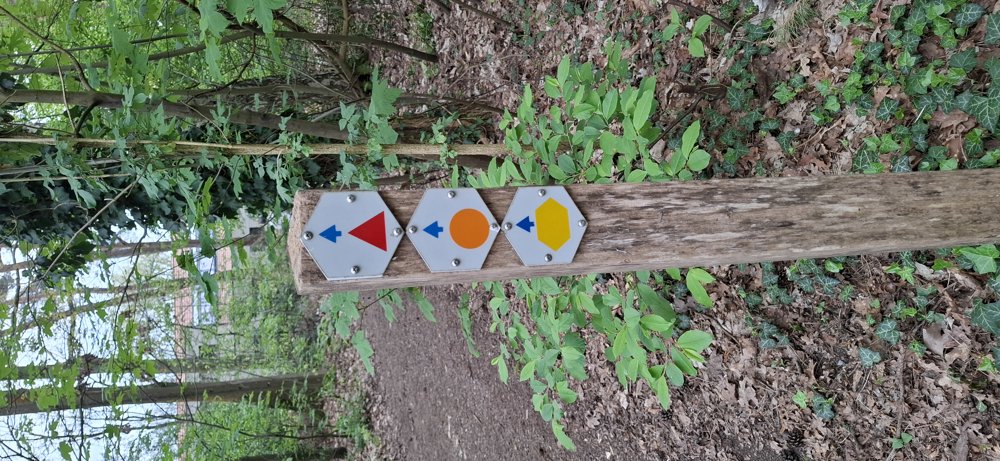
 signage
The route is fully signposted with thematic signs (no nodes).
 Description
Hiked on 18/4/2026
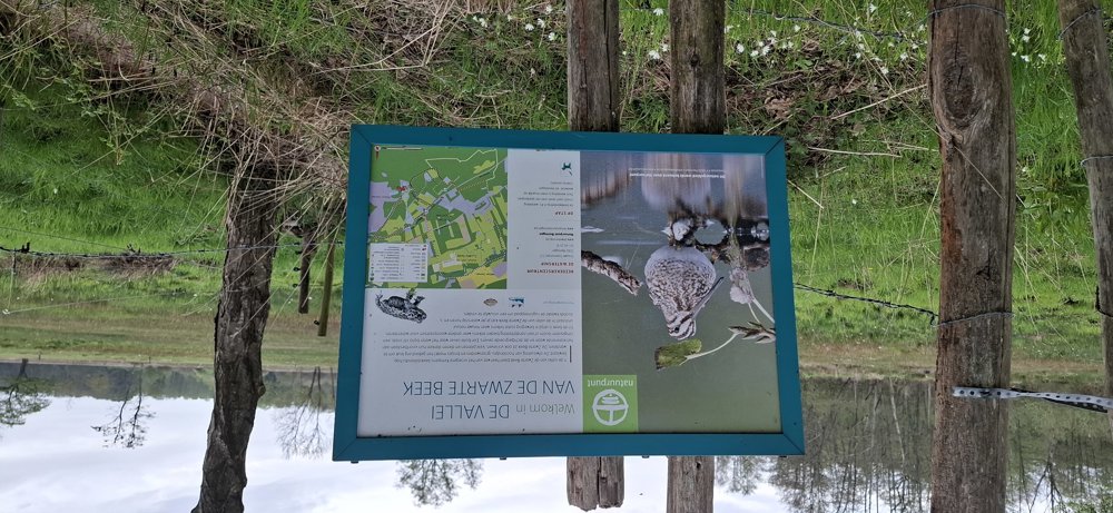
Parking: Visitor Center De Watersnip, Grauwe Steenstraat Koersel.
Hiked distance according to GPS: 6.72 km
Signposting: Red triangle.
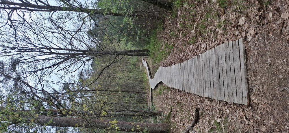
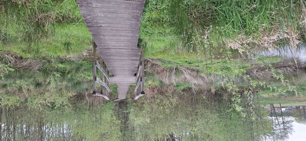
This walk can only be done on weekends and public holidays because part of it goes through military terrain. Here, you can choose from five signposted walks, but our preference is for this walk because of its diversity. You walk mainly through the forests of Koersels Kapelleke with a section through the "Valley of the Zwarte Beek". You walk several times over well-maintained boardwalks.
Personally, I would choose to do this hike counterclockwise; therefore, start behind the visitor center along the Prikkelpad, as you first walk all asphalt sections. Do not use the hiking app but simply follow the red triangle. (The app does not provide a correct representation if you choose left/right instructions)
Rest benches: e.g., at 1.2 km.
Attractions: Visitor Center De Watersnip.
automatic translation


 Upgrade to Premium Plus
