 Hiking
 Login
Login
 More
More
 EN
EN
 Premium
Wellen-Kerniel-Wellen
automatic translation
8.7 km • Wellen
3.9503 2 4.5/5

 Addresse starting point (approximate)
Molenstraat 4, 3830 Wellen, BE
 signage
The route is not signposted. Use a GPS device or our app to follow the route.
 Description
Hiked on 4/15/2026
Parking: Hall “De Meersche”, Molenstraat Wellen
Distance walked according to GPS: 8.7 km
Signage: GPS/Hiking App.
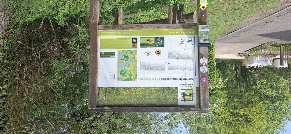
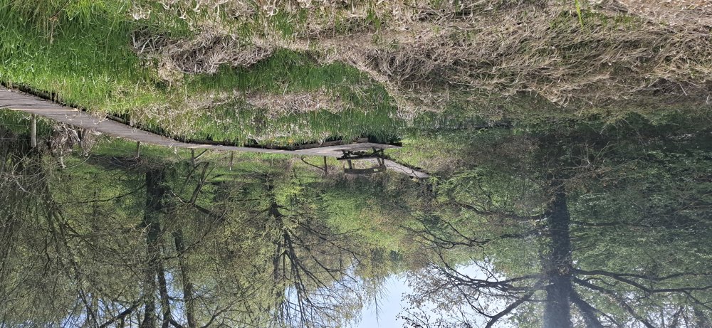
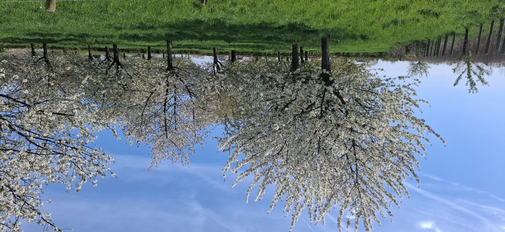
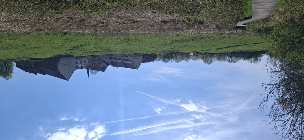
First, you walk a bit through the Broekbeemd nature reserve, but once that's behind you, the route goes through the rolling Haspengouw landscape with its low and high-trunk orchards, which are now in full bloom. After 4.5 km, you see above to the right the “Abbey Mariënlof” and to the left the round artwork “Untitled #158”. With a small detour and a steep climb, you can reach the artwork.
The turning point is Kerniel. From here, you must walk 1.7 km along the street until you step back into the field on the right. Lovely hike, especially in blossom time.
Rest benches: among others at 4.8 km.
Sights: Abbey Mariënlof / Untitled #158
Catering: After 5.1 km, there is a vending machine (church Kerniel) / center of Wellen.
automatic translation


 Upgrade to Premium Plus
