
 Hiking
 Login
Login
 More
More
 EN
EN
 Premium
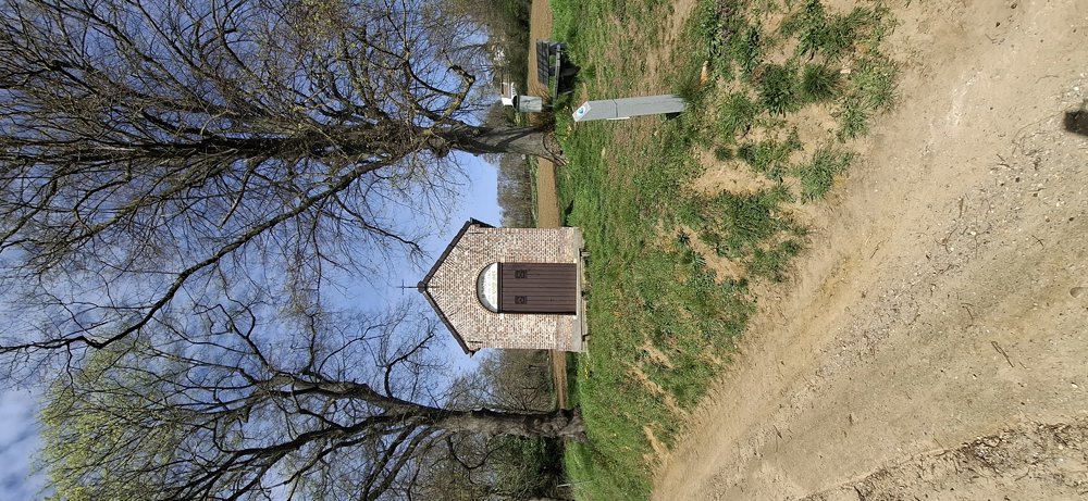
Saint Joseph Chapel and the Walenbos.
automatic translation
7.7 km • Tielt-Winge
2.6342 0 0/5

 Addresse starting point (approximate)
Haldertstraat 15/2, 3390 Houwaart, BE
 signage
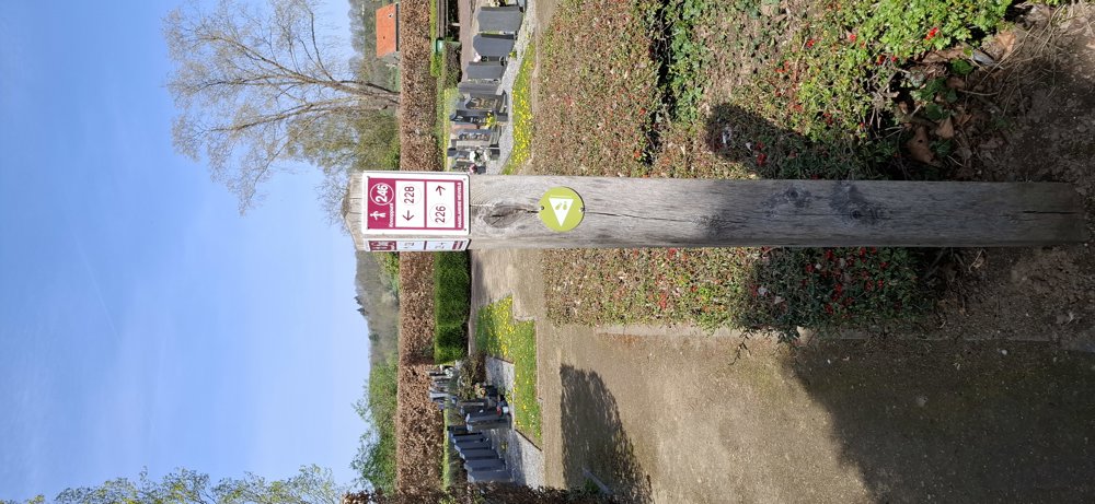
The route is fully signposted with nodes.
 Description
Walked on 9/4/2026
Parking: Haldertstraat in Houwaart (near the church).
Distance walked according to GPS: 7.78 km
Signage: Junctions/GPS/Walking App.
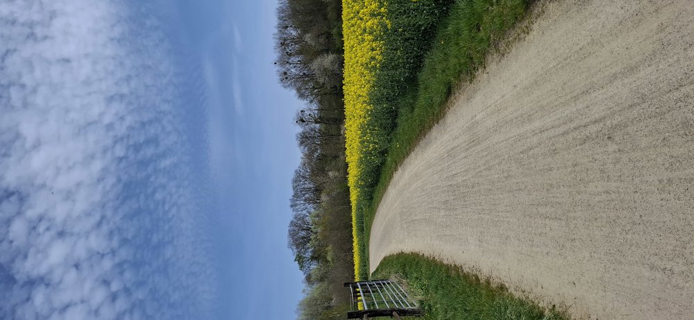
Beautiful flat walk that first goes through the open fields and then through the Walenbos.
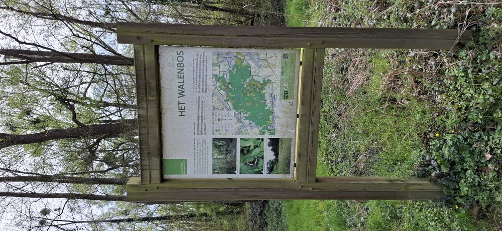
The Walenbos is not unfamiliar to us, and it can be very wet and muddy here, but this time it was fine. Only the last few meters in the forest (junction 231) were literally underwater. With a bit of searching, you will eventually get to the other side. Be sure to wear waterproof shoes. At the right time of year, you can see the beautiful flowers of the wood anemones and lesser celandine.
Bench(es): e.g., at 1.1 and 3.7 km.
automatic translation
 nodes to follow
0 km
0.2 km
0.5 km
1 km
1.7 km
2.2 km
3 km
3.4 km
4 km
4.1 km
5.3 km
5.4 km
5.5 km
5.5 km
6 km
6.1 km
7.2 km

7.5 km

7.7 km



 Upgrade to Premium Plus


