
 Hiking
 Login
Login
 More
More
 EN
EN
 Premium
Through 3 village centers.
automatic translation
8.8 km • Landen
1.5060 0 0/5
8.8 km
0.0 km
0.0 km

 Addresse starting point (approximate)
Dorpsstraat 14, 3404 Landen, BE
 signage
The route is not signposted. Use a GPS device or our app to follow the route through the virtual nodes.
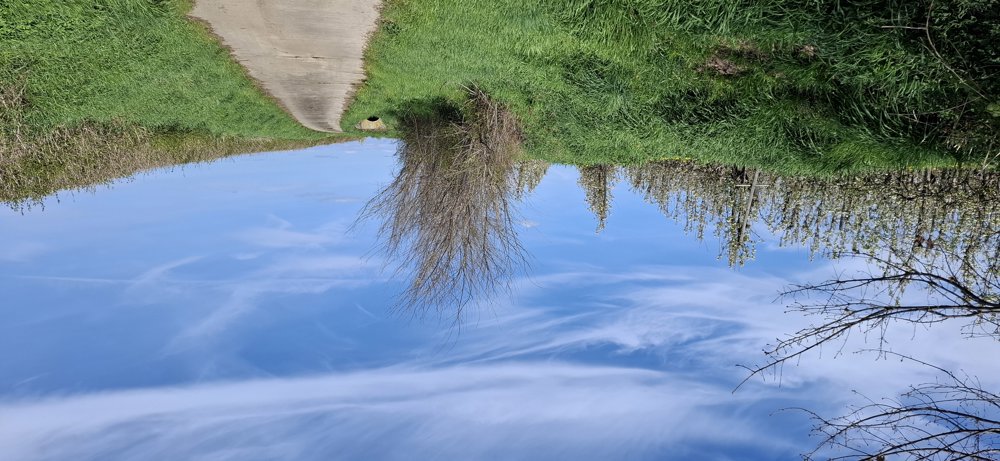
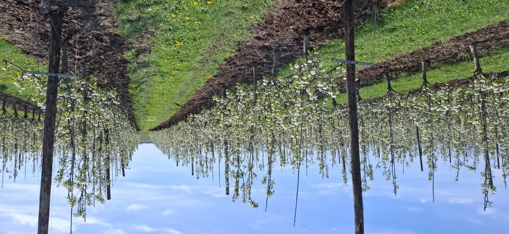
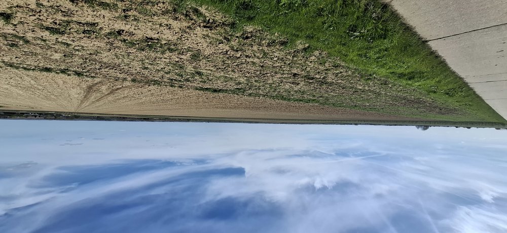
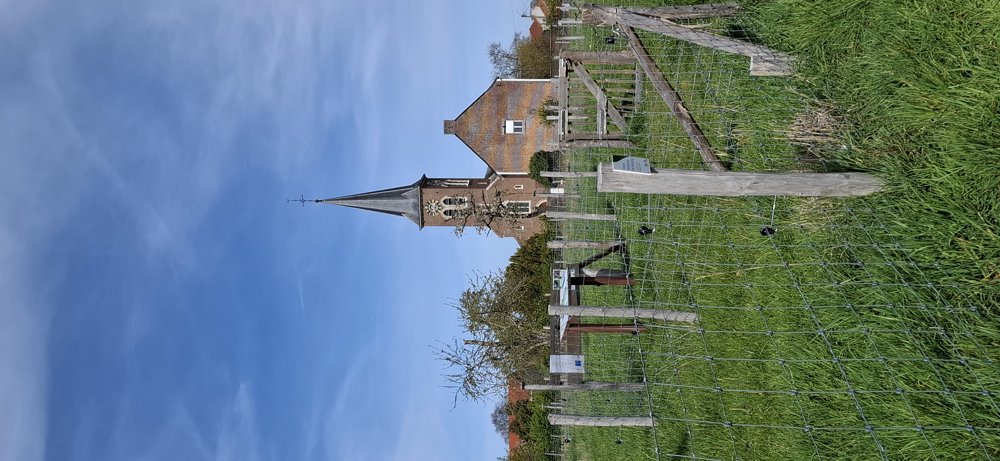
© Jan Theunis
 Description
Walked on 6/4/2026
Parking: Parking at Parish Center Dorpstraat Attenhoven.
Distance walked according to GPS: 8.61 km
Signage: Junction points/GPS/Hiking App.
Virtual junction route mainly on paved roads. You have beautiful views and here and there a bit on field roads and along orchards. You pass through 3 village centers: Attenhoven, Neerlanden, and Rumsdorp.
Rest bench(es): e.g., at 0.4/2.1 and 7.1 km.
automatic translation
 nodes to follow
0 km

0.1 km
0.8 km
1.6 km
2.6 km
2.7 km
3.6 km
4.9 km
5.9 km
6.6 km
7 km
8.2 km
8.6 km

8.8 km



 Upgrade to Premium Plus


