
 Hiking
 Login
Login
 More
More
 EN
EN
 Premium
Loverval - Jamioulx forest walk
automatic translation
13.8 km • Gerpinnes
9622 0 0/5

 Addresse starting point (approximate)
Allée du Grand Chéniat 24, 6280 Loverval, BE
 signage
The route is not signposted. Use a GPS device or our app to follow the route.
 Description
Departure: parking Allée des Lacs – 6280 Gerpinnes
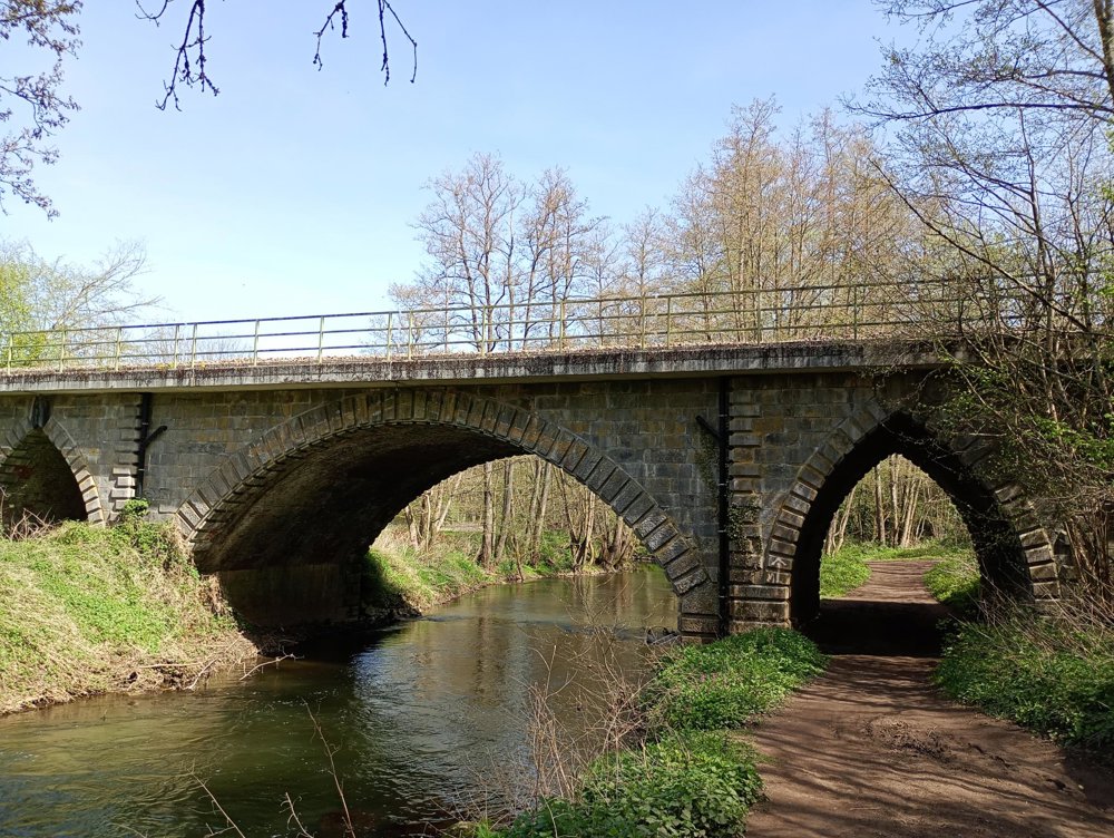
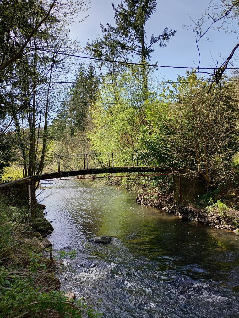
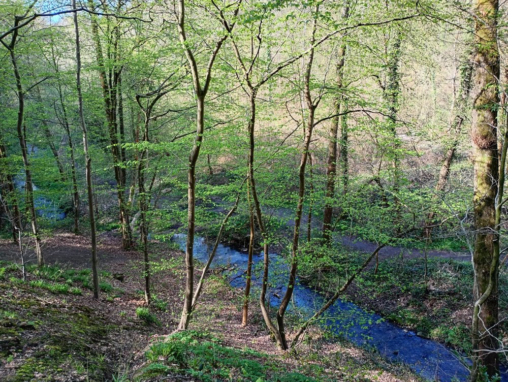
The region around Charleroi is known for its industrial past and therefore has a rather somber reputation. However, this walk shows a completely different side: a surprisingly green and peaceful landscape.
The route takes you through the Bois de Prince towards Jamioulx, roughly halfway, where there is still a small station and an authentic local pub. This makes a suitable spot for a restroom break.
The route then goes back into the forest via the sports fields. In the distance, the slag heaps are visible, distinctive remnants of the industrial past from the 19th century.
Near the endpoint, one passes along the Arboreo course, an adventure park in the trees with, among other things, ziplines and climbing courses over ropes, bridges, and various obstacles.
There are no benches or resting points along the route. Long trousers and walking sticks are recommended, as well as using the app in the woods.
automatic translation



 Upgrade to Premium Plus


