 Hiking
 Login
Login
 More
More
 EN
EN
 Premium
Nature reserve “De Meersbeemden”
automatic translation
8.4 km • Tongeren-Borgloon
5.4255 0 0/5

 Addresse starting point (approximate)
Gotemstraat 60, 3840 Hoepertingen, BE
 signage
The route is not signposted. Use a GPS device or our app to follow the route.
 Description
Walked on 4/2/2026
Parking: Parking Domain Fonteinhof, Fonteinhof 1 Tongeren-Borgloon
Walked distance according to GPS: 8.16 km
Signage: GPS/Hiking App.
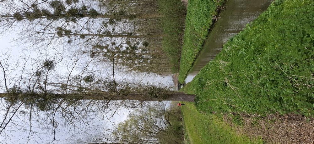
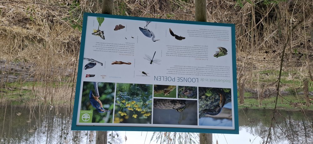
Varied walk through the Loonse land. You mostly walk on paved roads from Gotem to Hoepertingen and further to the Loonse Ponds. Now comes the most beautiful part of this walk through the nature reserve “De Meersbeemden”. In wet weather, the section along the Herk is somewhat muddy and then a beautiful forest stretch of +/- 1 km follows.
Rest bench(es): among others at 4.2 and 6.6 km.
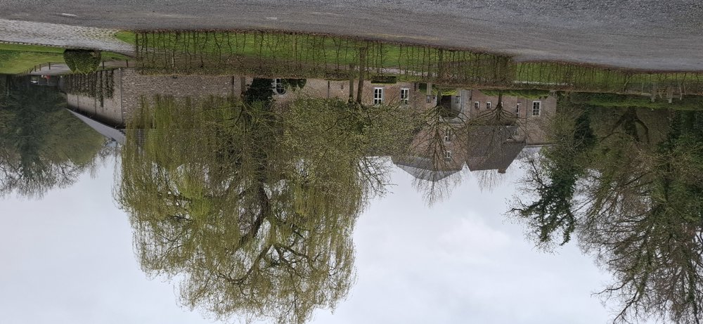
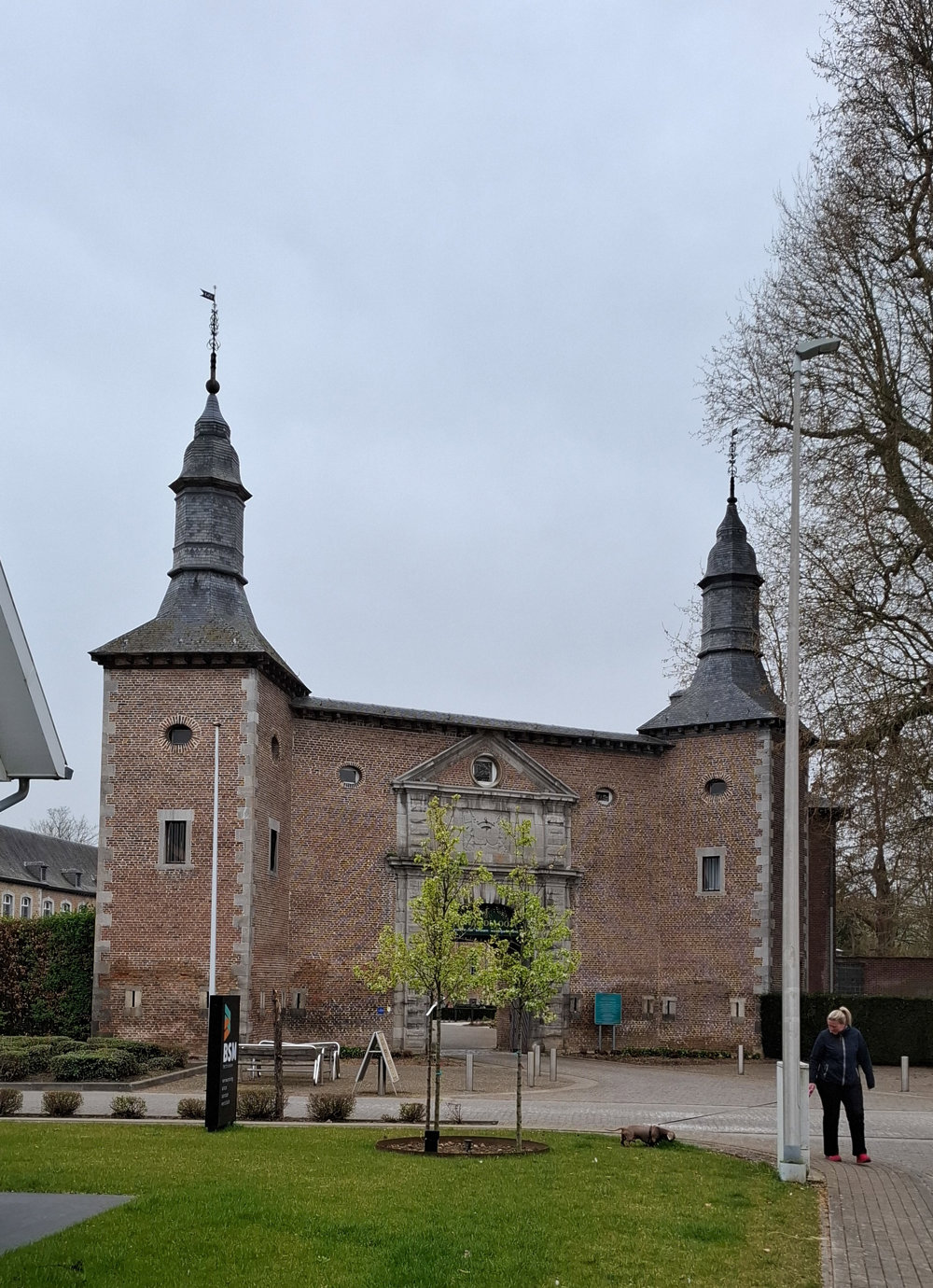
Sights: Château de Looz / Fonteinhof.
automatic translation
 nodes to follow
0 km

0.1 km
0.2 km
0.6 km
1.9 km
3.4 km
4.2 km
6.1 km
6.5 km
7.2 km
8.3 km

8.3 km


 Upgrade to Premium Plus
