Loading...

Around the Eikelenberg

automatic translation

7.9 km • Diest

4.3502 1 4/5

7.9 km 0.0 km 0.0 km

route offered by

Jan Theunis

Icon starting point Addresse starting point (approximate)

Asdonkstraat 22, 3294 Diest, BE

Icon type signage of route signage

The route is not signposted. Use a GPS device or our app to follow the route.
5m 5m 5m 5m
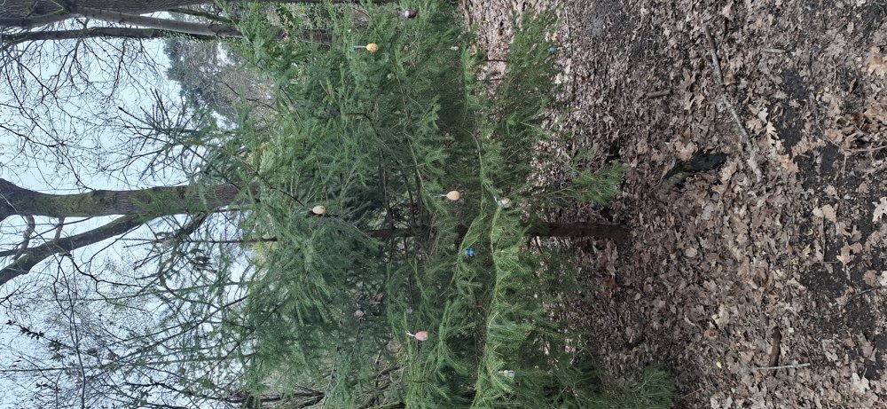
Atmosphere image 1 of route Around the Eikelenberg
© Jan Theunis

Icon description route Description

Walked on 3/27/2026

Parking: New small parking area near the playground, Asdonkstraat Molenstede (Diest).

Distance walked according to GPS: 7.99 km.

Signposting: GPS/Hiking app.

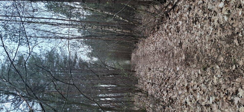
From Dassenaerde to Molenstede along meadows and through forests, further to castle Remax. Along local road 75 towards Swinnenbos, from here you walk on unpaved forest paths to the starting point.

Benches: e.g. at 0.7/2.5/3.5 km.

automatic translation

This route has 1 review(s).
Rate route!

Sunday, March 29, 2026 by Romain FrederickxA nice little walk; too bad about the rest stop
automatic translation

Monday, March 30, 2026 by Jan TheunisWhat do you mean by "the resting point"?
automatic translation

Which POI do you want to show on the map?

Experimental hiking network
Unsigned icon

The route you have chosen runs (partly) along an experimental virtual hiking node network (the blue-coloured nodes and sections on the map).

You must be logged in to plan routes here.

Experimental hiking network
Unsigned icon

The route you have chosen runs (partly) along an experimental virtual hiking node network (the blue-coloured nodes and sections on the map).

These routes are not controlled in the field. Before you start hiking here, take a minute to read what an experimental hiking node network is and what rules you should follow when hiking here.