 Hiking
 Login
Login
 More
More
 EN
EN
 Premium
Galgen and Mielen Forest
automatic translation
8 km • Nieuwerkerken
3.3974 0 0/5

 Addresse starting point (approximate)
Kloosterstraat 310, 3850 Nieuwerkerken, BE
 signage
The route is not signposted. Use a GPS device or our app to follow the route.


 Description
Walked on 26/3/2026
Parking: Cemetery, Kloosterstraat Nieuwerkerken.
Walked distance according to GPS: 7.91 km.
Signage: GPS/Walking App.
Once out of the center, you walk via footpath 111 towards the Nieuwenhoven castle. Through a meadow, you enter the beautiful Galgenbos. After the Galgenbos follows the Mielenbos.
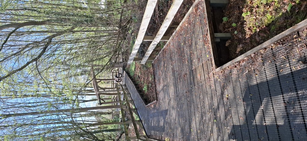
Then briefly over a cycling path and you walk along the orchards that are slowly blooming until you reach Kerkstraat. Shortly after, you have a view of the Nieuwerkerken castle. Via village paths, you end up in the Muggenbosje with a sea of ramsons that will be in full bloom in a few weeks. Very beautiful small forest.
Rest bench(es): among others at 1.5/2.3/3.2/5.4 and 7.5 km.
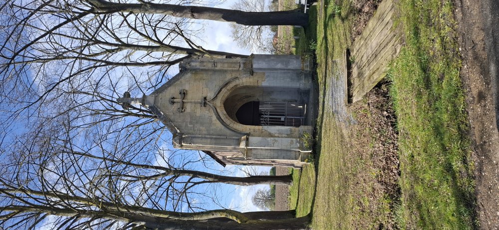
Attractions: Nieuwenhoven and Nieuwerkerken castle/Donatius chapel.
automatic translation


 Upgrade to Premium Plus
