 Hiking
 Login
Login
 More
More
 EN
EN
 Premium
Through the forests of Wiemesmeer.
automatic translation
7.6 km • Zutendaal
2.6932 0 0/5

 Addresse starting point (approximate)
Jachthoornplein 3-4, 3690 Zutendaal, BE
 signage
The route is not signposted. Use a GPS device or our app to follow the route.
 Description
Walked on 17/3/2026
Parking: Sporthal Wiemesmeer, Jachthoornplein.
Distance walked according to GPS: 7.6 km.
Signposting: GPS/Walking App.
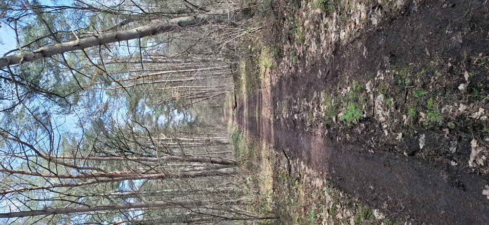
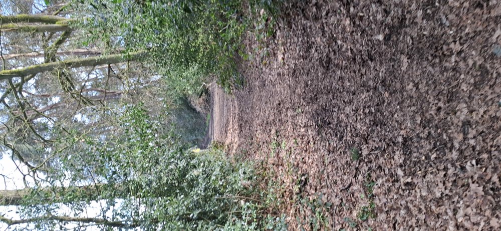
This area is a blind spot regarding junction points, so we decided to explore on our own. First, a 1.6 km approach through the quiet streets of Wiemesmeer before diving into the woods. Some parts are, in my opinion, former military areas because part of the forest paths is hardened. The majority of the forest paths are wide and easily accessible. Nice walk.
Rest bench(es): notably at 2 and 5.4 km.
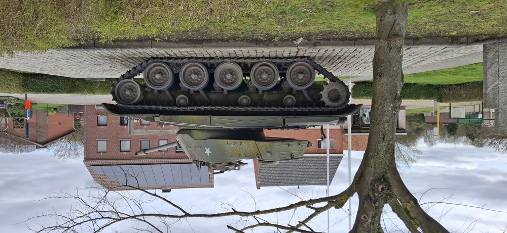
Attractions: WW2 Tank (type M41 Walker Bulldog)
automatic translation


 Upgrade to Premium Plus
