Loading...

Along the Mosting Forest and vineyards.

automatic translation

7.5 km • Tielt-Winge

3.9196 1 4/5

7.5 km 0.0 km 0.0 km

route offered by

Jan Theunis

Icon starting point Addresse starting point (approximate)

Houwaartsebergweg 20, 3390 Tielt-Winge, BE

Icon type signage of route signage

The route is partially signposted with nodes. Use a GPS device or our app to follow the route.

5m 5m 5m 5m
Atmosphere image 1 of route Along the Mosting Forest and vineyards. Atmosphere image 2 of route Along the Mosting Forest and vineyards. Atmosphere image 3 of route Along the Mosting Forest and vineyards.
© Jan Theunis

Icon description route Description

Walked on 14/3/2026

Parking: Parking at the birth forest, Wijngaardstraat Tielt-Winge.

Distance walked according to GPS: 7.53 km.

Signage: GPS/Walking App.

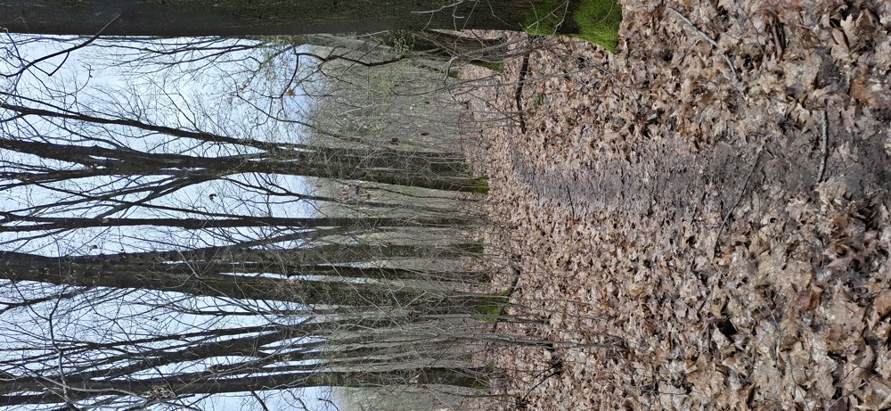
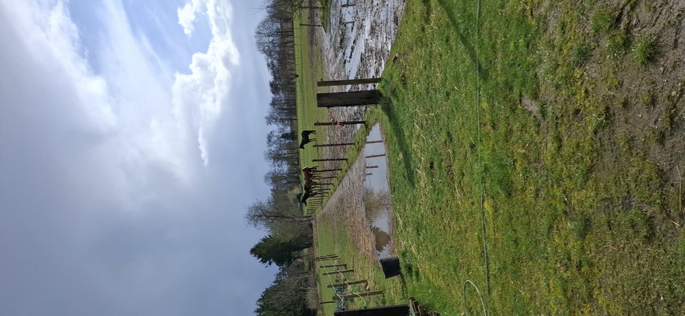
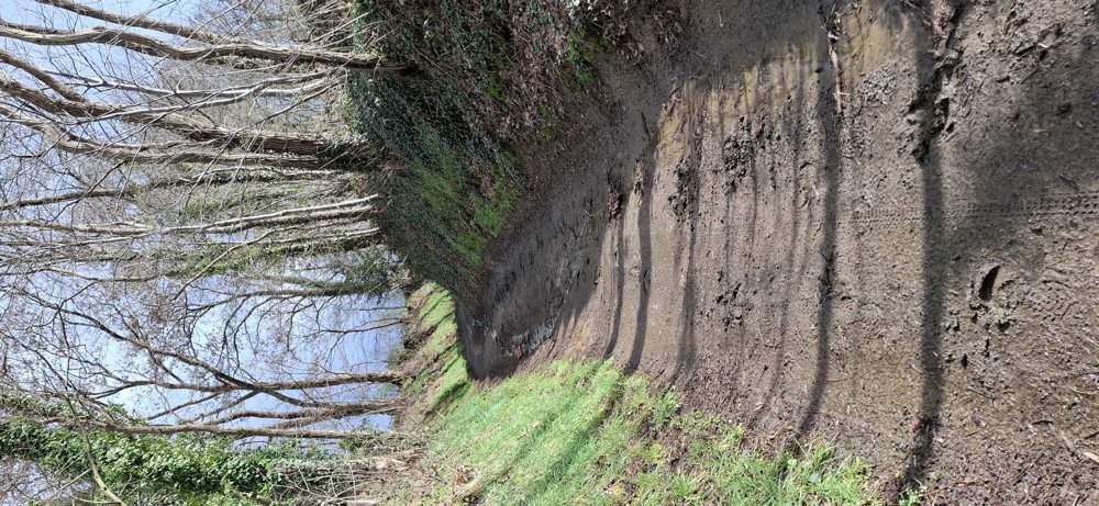
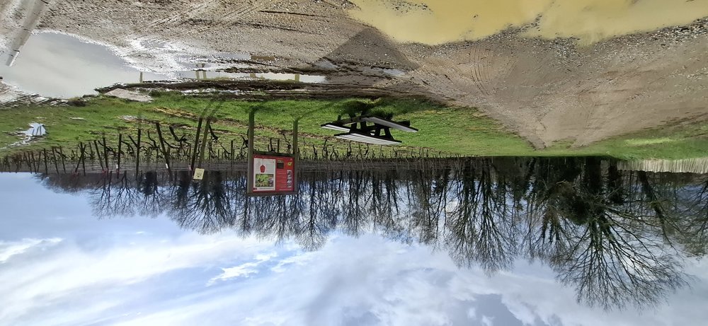
Despite the heavy rain, the paths were passable and this is a very varied walk. The route takes you through forests, along meadows, and through hollow paths. This is not a flat walk but gently undulating through the Hageland, offering you beautiful views at times. You also pass a vineyard with various grape varieties. Lovely walk.

Rest bench(es): among others, at 6.1 and 7.1 km.

automatic translation

Icon nodes to follow nodes to follow

Icon start route
0 km
Icon deviation route
0.2 km
Icon deviation route
0.6 km
Icon deviation route
0.7 km
Icon deviation route
1.3 km
Icon deviation route
1.9 km
Icon deviation route
2.6 km
Icon deviation route
3.2 km
Icon deviation route
4.2 km
Image node 155
4.8 km
Image node 225
6.5 km
Icon deviation route
7.2 km
Icon stop route
7.5 km
This route has 1 review(s).
Rate route!

Sunday, March 22, 2026 by Romain FrederickxVery beautiful and a great place for a walk—highly recommended
automatic translation

Which POI do you want to show on the map?

Experimental hiking network
Unsigned icon

The route you have chosen runs (partly) along an experimental virtual hiking node network (the blue-coloured nodes and sections on the map).

You must be logged in to plan routes here.

Experimental hiking network
Unsigned icon

The route you have chosen runs (partly) along an experimental virtual hiking node network (the blue-coloured nodes and sections on the map).

These routes are not controlled in the field. Before you start hiking here, take a minute to read what an experimental hiking node network is and what rules you should follow when hiking here.