 Hiking
 Login
Login
 More
More
 EN
EN
 Premium
Through the Young Forest
automatic translation
7.6 km • Diepenbeek
4.8163 0 0/5

 Addresse starting point (approximate)
Helstraat 22, 3590 Diepenbeek, BE
 signage
The route is not signposted. Use a GPS device or our app to follow the route through the virtual nodes.
 Description
Walked on 3/10/2026
Parking: Community Center Terlogt, Helstraat Crijs (Diepenbeek).
Distance walked according to GPS: 7.29 km.
Signage: GPS/Walking App.
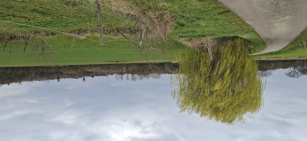
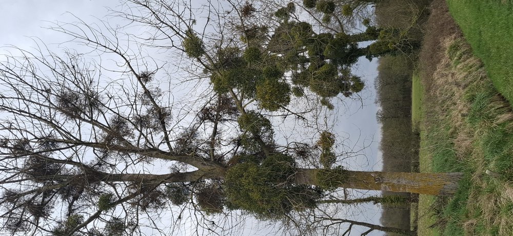
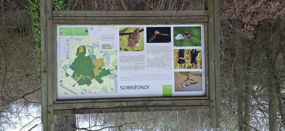
Depart towards the small school and continue through the quiet Mortelstraat that leads to the "Jongenbos." Everything was fine until junction 115, but from there, no trace left. So from junction 115 to km 4.5, walked purely on GPS. In the middle of the forest, you can supposedly walk between two ponds. That's possible, but bring your swimming gear; you have to go all around this water.
This walk could be very beautiful, but the managers of this nature reserve have completely neglected the walking paths in the "Jongenbos" on this route. The path at junction 109 is also gone, so I went back to junction 108. From there, a clear, nice path to the endpoint.
If you are not adventurous, stay away. If I were to walk this tour only using junctions, I’d give it a big fat zero.
automatic translation
 nodes to follow
0 km

0.7 km
1.5 km
1.6 km
1.8 km
2 km
2.4 km
5.3 km
5.4 km
5.7 km
6.1 km
6.7 km
7.4 km

7.6 km


 Upgrade to Premium Plus
