 Hiking
 Login
Login
 More
More
 EN
EN
 Premium
Over the Angel's Mountain
automatic translation
7.2 km • Scherpenheuvel-Zichem
2.4802 0 0/5

 Addresse starting point (approximate)
Lobbensestraat 93B, 3271 Scherpenheuvel-Zichem, BE
 signage
The route is not signposted. Use a GPS device or our app to follow the route.
 Description
Hiked on 3/7/2026
Parking: Behind "Den Cayberg Meeting Center" Lobbensestraat in Keiberg.
Hiked distance according to GPS: 7.36 km.
Signposting: GPS/Hiking App.
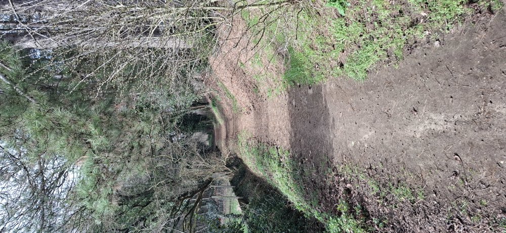
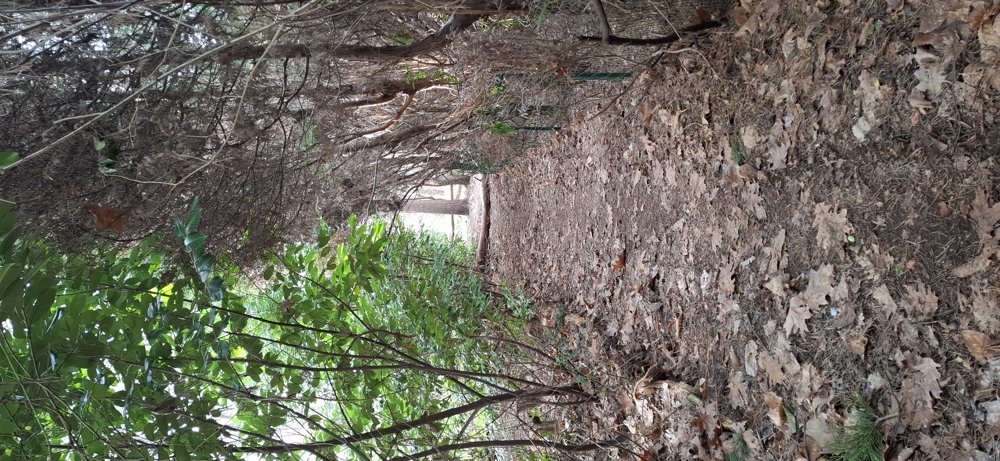
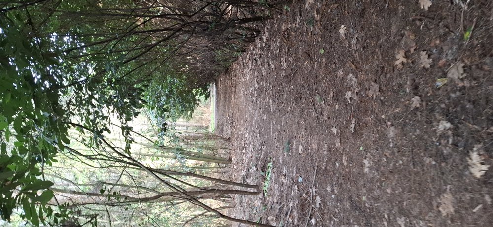
Nice hike through various forests in the vicinity of Keiberg. After 1 km, you enter the first forest. The original paths are sometimes no longer up-to-date (e.g., due to logging), but just follow the path. Forest number two is on the Engelenberg, slightly uphill, but we found this the most beautiful part of the hike.
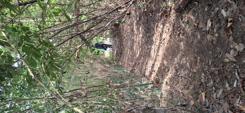
Further on, you pass the next forest area. There are some holiday homes here, but it is still quiet for walking. 300 meters along the busier Vossekotstraat, then right into the last forest. Here the path has suddenly disappeared; just follow the mapped path on the app, and 100 meters further you see the path reappear. A bit annoying, but for the adventurer in you, this should be no problem.
Bench(es): 0 (self-planned hike)
automatic translation


 Upgrade to Premium Plus
