Loading...

From Veerle-Heide to Averbode.

automatic translation

7.4 km • Laakdal

2.3983 0 0/5

7.4 km 0.0 km 0.0 km

route offered by

Jan Theunis

Icon starting point Addresse starting point (approximate)

Zandstraat 38, 2431 Veerle, BE

Icon type signage of route signage

The route is partially signposted with nodes. Use a GPS device or our app to follow the route.

5m 5m 5m 5m
Atmosphere image 1 of route From Veerle-Heide to Averbode. Atmosphere image 2 of route From Veerle-Heide to Averbode. Atmosphere image 3 of route From Veerle-Heide to Averbode.
© Jan Theunis

Icon description route Description

Hiked on 3/5/2026

Parking: At the church of Veerle-Heide, Zandstraat Veerle Laakdal.

Distance hiked according to GPS: 7.4 km.

Signage: GPS/Hiking App.

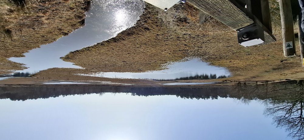
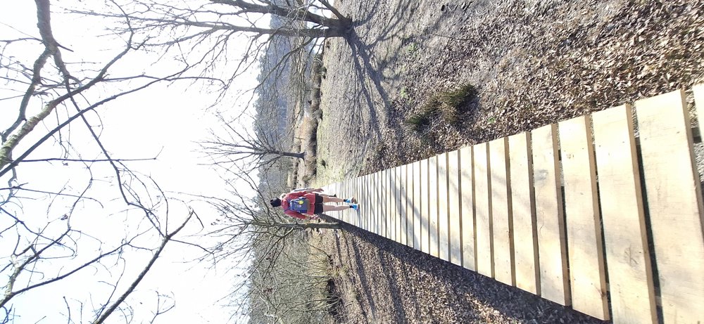
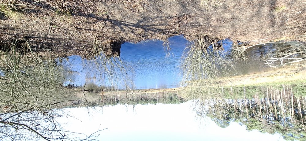
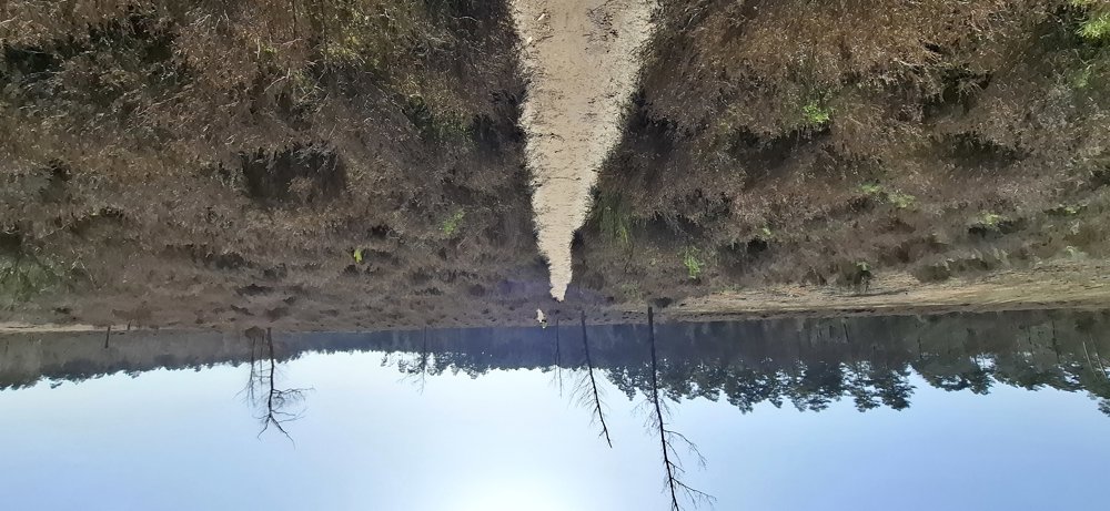
Beautiful loop hike through the Merode forests from Veerle-Heide to Averbode. Varied hike through the woods and along ponds (Langven, Geerkensvijver) and the clog path is also part of this hike.

In Averbode, you walk through the Maria Park and pass along the Likdreef, time for a tasty ice cream. A bit further, you have a nice view of the Abbey. Almost back in the civilized world, you walk along the Kuypenevijver pond.

Bench(es): among others at 3.2/4.5/5.3 and 6.6 km.

Attractions: Clog museum (if open) and the Abbey of Averbode.

Catering: Averbode.

automatic translation

Icon nodes to follow nodes to follow

Icon start route
0 km
Icon deviation route
0.2 km
Icon deviation route
0.6 km
Icon deviation route
1.3 km
Icon deviation route
1.5 km
Icon deviation route
1.7 km
Icon deviation route
1.7 km
Icon deviation route
1.7 km
Icon deviation route
1.7 km
Icon deviation route
1.8 km
Icon deviation route
1.9 km
Icon deviation route
2 km
Image node 81
2 km
Icon deviation route
2.1 km
Icon deviation route
2.5 km
Icon deviation route
2.9 km
Icon deviation route
3.2 km
Icon deviation route
3.3 km
Icon deviation route
3.5 km
Icon deviation route
3.7 km
Icon deviation route
3.8 km
Icon deviation route
4.1 km
Icon deviation route
4.3 km
Icon deviation route
4.4 km
Icon deviation route
4.5 km
Icon deviation route
4.5 km
Icon deviation route
4.6 km
Icon deviation route
4.9 km
Icon deviation route
5.3 km
Icon deviation route
5.5 km
Icon deviation route
6.2 km
Icon deviation route
6.9 km
Icon deviation route
7.2 km
Icon stop route
7.4 km
This route does not have any reviews yet. Be the first!
Rate route!

Which POI do you want to show on the map?

Experimental hiking network
Unsigned icon

The route you have chosen runs (partly) along an experimental virtual hiking node network (the blue-coloured nodes and sections on the map).

You must be logged in to plan routes here.

Experimental hiking network
Unsigned icon

The route you have chosen runs (partly) along an experimental virtual hiking node network (the blue-coloured nodes and sections on the map).

These routes are not controlled in the field. Before you start hiking here, take a minute to read what an experimental hiking node network is and what rules you should follow when hiking here.